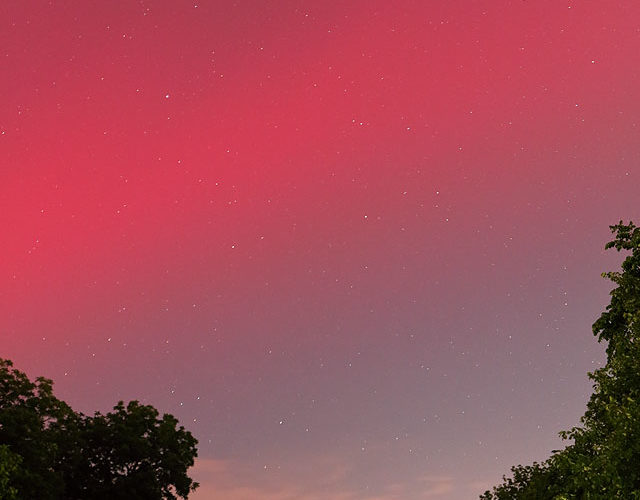
Here is a vertical view, for scale, of the amazing auroral band that hovered south of Norman's latitude for a couple hours in mid-spring 2024. Clearly visible aurorae at this latitude are quite rare, truly a once-in-a-lifetime occurrence for many, the second for me, and the first since I've shot digital. This display glowed from the impact on earth's upper atmosphere of an X-class flare and … [Read more...]
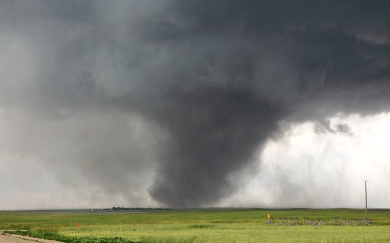
Tornadic Dust and Rain Tilt
As the prominent Kimball tornado grew slowly closer, some of the dust settled, and the circulation also took on more rain. I don't think the tornado narrowed yet; it simply shed some of the dust it had lofted and centrifuged, which still made the vortex look somewhat bigger than it was. It also tilted more, lending this classically spectacular tornadic appearance. At this stage, vehicles in the … [Read more...]
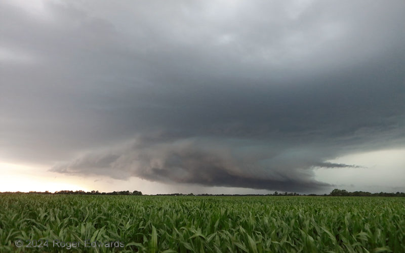
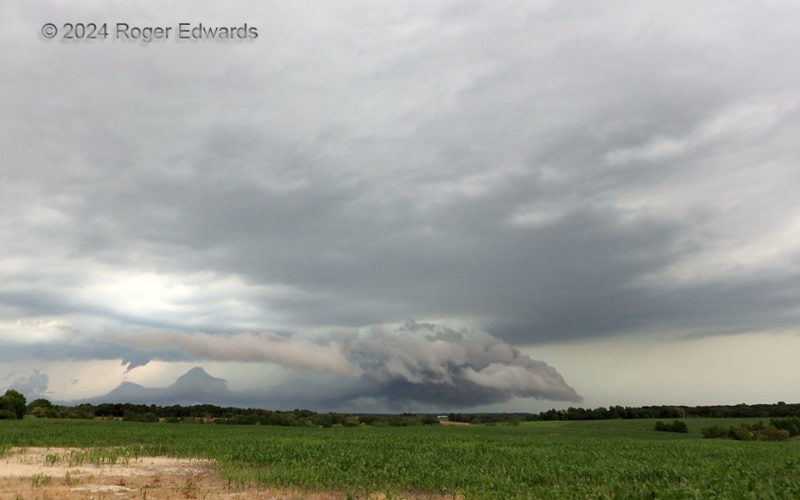
Missouri Cornfield Supercell
The corn wasn't quite yet as "high as a man's eye", but was well on its way to producing harvestable ears when this southeastward-moving supercell came along to batter it with severe wind and hail. Crops in the Heartland depend on spring and summer rains to succeed, but often that rain arrives alongside damaging aspects of spring to early summer thunderstorms. The wall cloud with this supercell … [Read more...]
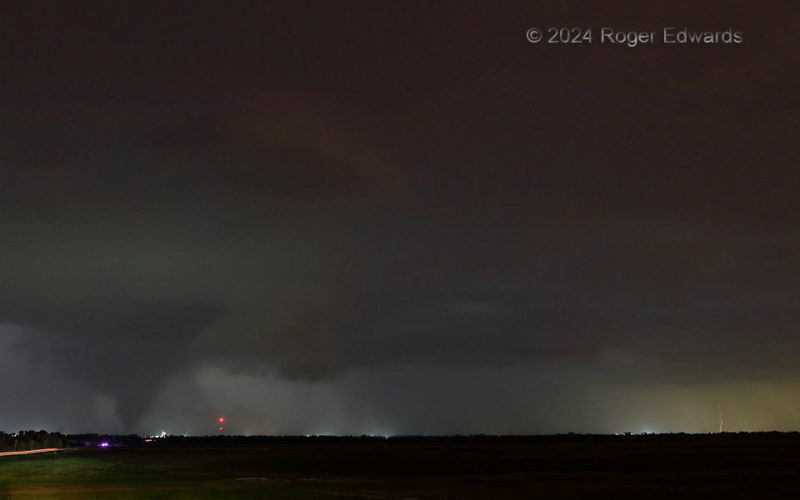
Union City Cone Emerges
Two tornadoes from a separate, elongated mesocyclone region became rain-wrapped to the NNE (distant middle right), with at least part of the bigger tornado's condensation funnel still visible through rain at distant middle. As I was losing easy views of those tornadoes, a separate and older mesocyclone near Union City, at left, was producing a tornado already; its cone came into clear view while … [Read more...]
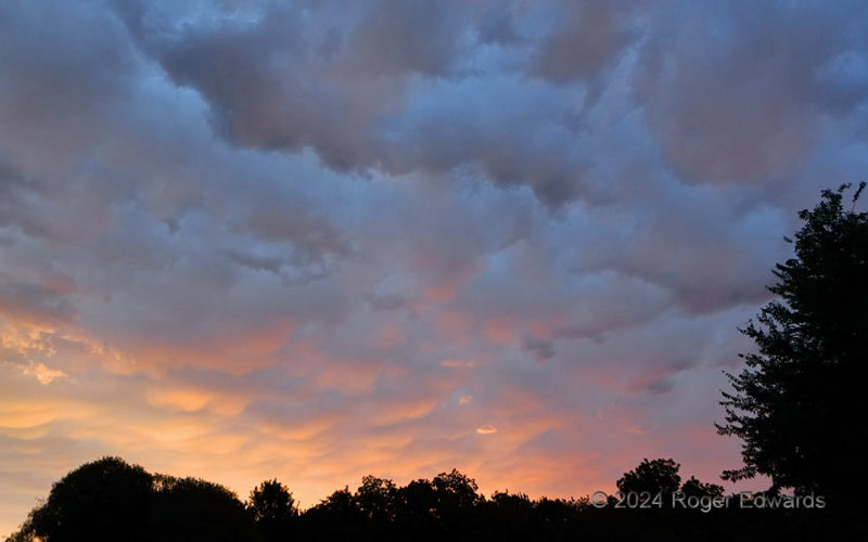
Mammatus Sunrise
Instead of a "tequila sunrise", this was a mammatus sunrise! I see far less mammatus at sunrise than sunset, for two reasons: 1. Vigorous supercells and other storm complexes capable of generating mammatus are less common at this time of the morning, when low-level instability is near daily minimum, and 2. I'm seldom awake and at home at this time of day. An intervening cloud streak deck … [Read more...]
Damaging Transition
Trailing mostly behind the outflow of a large supercell that I never quite could catch, this storm caught my eye with a low wall cloud visible in the distance from several miles west of here. So I followed this storm for a bit as it moved southeastward toward the Mississippi River and the Missouri/Illinois border. This supercell looked ominous at times, and occasionally showed moderate … [Read more...]
- « Previous Page
- 1
- …
- 51
- 52
- 53
- 54
- 55
- …
- 418
- Next Page »