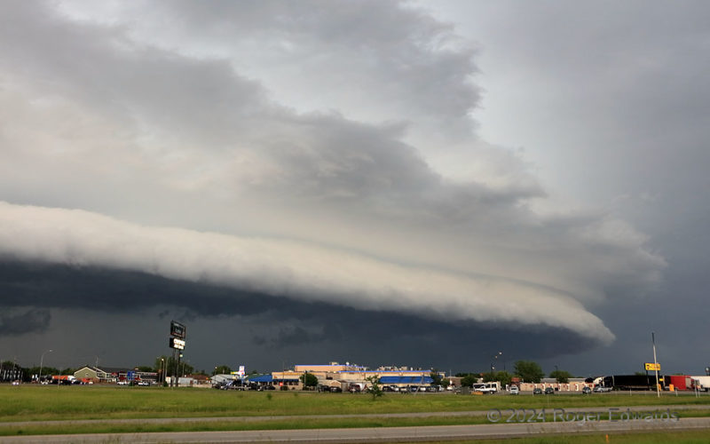
To be clear, this is the Clearwater in Minnesota, not Florida, though a scene such as this is possible in either. The highway in the foreground is I-94, along which a hail-flinging, heavy-precip supercell developed near the North Dakota border and right-turned southeastward, evolving over time into a mean little bowing line segment with severe wind and flooding rains. This was probably its most … [Read more...]
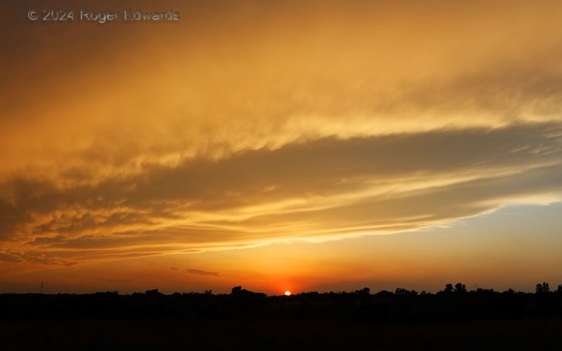
Sunset in Oklahoma
Oklahoma’s wide skies and wild weather offer countless many cloud formations, and opportunities to see those clouds set aglow with the colors of the setting sun. This sunset just a mile from our home was a splendid as anything I’ve driven hundreds of miles to shoot. It was far from the first or last great sundown show we’ve seen from this area, as per the numerous Norman-based shots found in the … [Read more...]
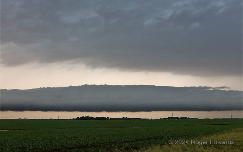
Roll over Minnesota
Out of a seemingly fuzzy, nebulous and nondescript area of elevated thunderstorms, a stunning, sharply formed roll cloud developed to the northwest, and surged right into an area of older outflow from storms I had passed in the ensuing couple hours. Heretofore, I had seen roll clouds with this much definition and contrast only in old weather books from libraries of the 1970s and before, usually … [Read more...]
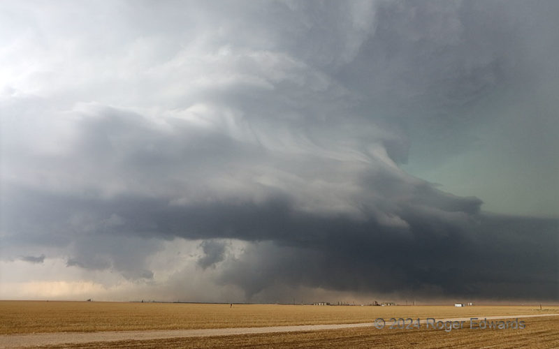
West Texas Supercell with Tornado
The dichotomy of the Great Plains tornadic supercell seldom manifest more than on this west Texas afternoon. A storm exploded over an outflow boundary and slogged southeastward across the Midland/Odessa metro, spawning a few tornadoes, causing swaths of wind and hail destruction (including, ironically, at the NWS office there), and yet, putting on a spectacular show for observers. This was just … [Read more...]
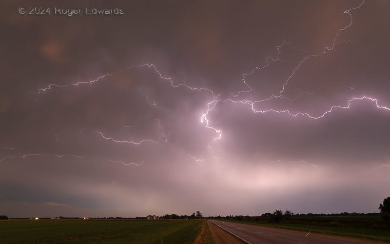
Twilight Crawlers and Fireflies
Both a sparky storm and some fireflies illuminated the final moments of the last chase in the 2024 spring season. Fireflies (short green streaks over and near the road) often react to lightning flashes in kind, and with the back side of a storm complex flinging plenty of electricity overhead, the insects had plenty of motivation. The reddened remnants of light from the northwest horizon, behind … [Read more...]
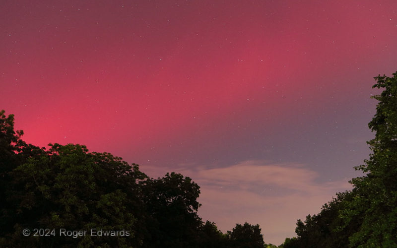
Oklaurora
A solar storm of an intensity not seen in over a decade energized the upper atmosphere, and made auroral effects visible as far toward the Equator as Mexico and the northern Caribbean. This meant the rare ability not only to see an aurora in Norman, but to see this manifestation, looking south! In 2003, we saw distinct red pillars to the north looking over the Oklahoma City lights, but the … [Read more...]
- « Previous Page
- 1
- …
- 53
- 54
- 55
- 56
- 57
- …
- 418
- Next Page »