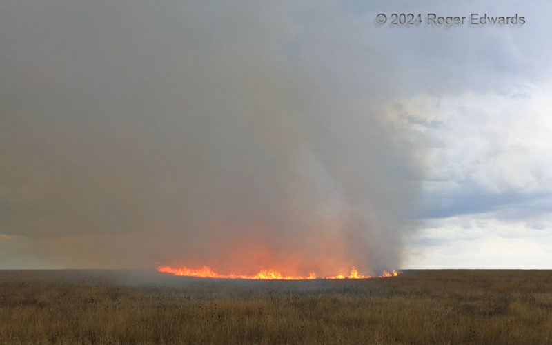
An advancing, lightning-started grass fire on the Colorado High Plains formed a nearly circular edge for a short time, as the wind stopped between two areas of flow: outflow from the far-forward flank of the supercell that caused it, and inflow into the storm. Shortly above the surface, the smoke plume gently curved from vertical to slightly right-to-left, indicating how shallow the … [Read more...]
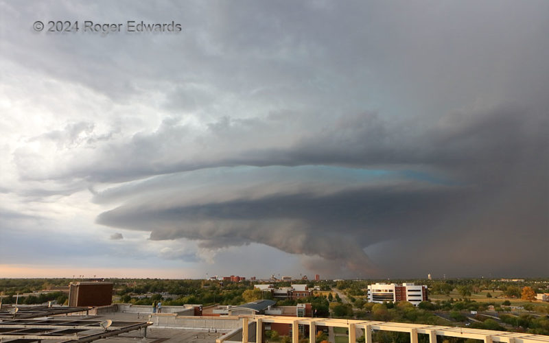
Stacked-Plate Supercell over OU Campus
While at work on a supernumerary (for me, research) shift, and right after a seminar on (guess what) supercells, one developed northwest of Oklahoma City, then turned hard right (southeast) and dumped copious amounts of severe and often damaging hail. Knowing the hodograph character and ambient flow, I figured this would be the easiest of chases; the storm would be a well-matured, photogenic, … [Read more...]
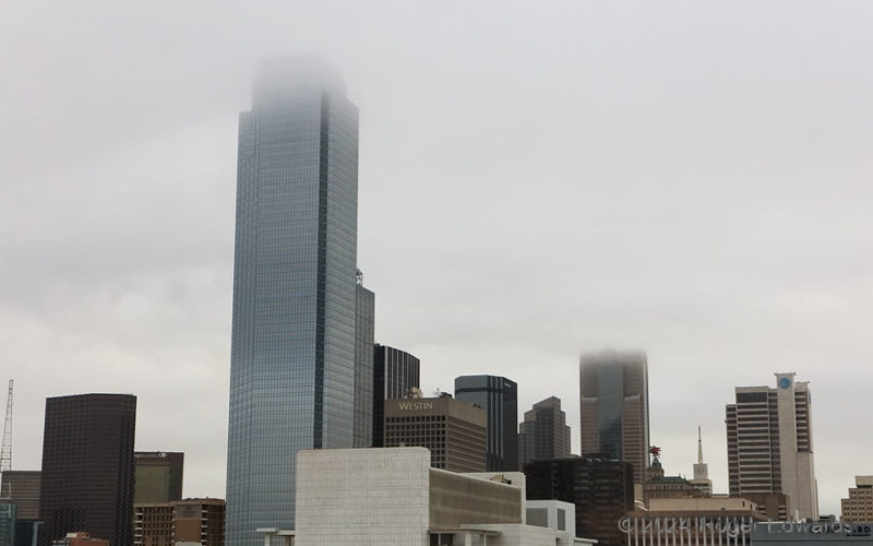
Dallas Stratus
This stratus deck, with bottom around 800 feet above ground level based on the known heights of the cloud-penetrating Bank of America Plaza (near) and Comerica skyscraper (far), seems harmless and innocuous, except perhaps to VFR (visual flight rules) aviators. Yet it was the source of great angst, for in just a few hours, a total solar eclipse would sweep over the city, potentially fulfilling a … [Read more...]
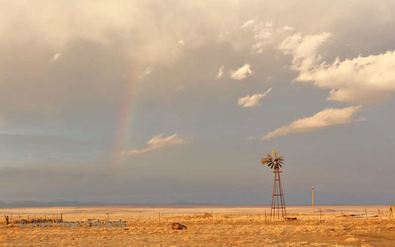
Dryland Sundown
A little over an hour after an ethereal show of crepuscular rays a couple miles to the west, the remaining cloud debris and rain from dying storms moving off the Sangre de Cristo Mountains gave us a pleasant High Plains sunset. This part of the Great Plains often finds itself behind the dryline, with spring precipitation mainly confined to early synoptic lows digging south of the area and forcing … [Read more...]
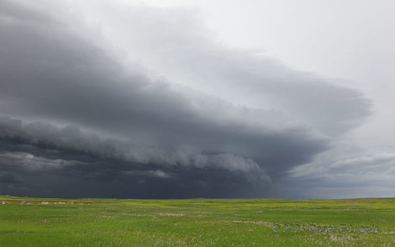
Arcus over More Badlands Grasslands
As a tiered shelf cloud roared into the Badlands, not far from a dilapidated ghost town called Scenic, its northern portion made quite the scenic scene beyond the verdant fields atop the High Plains landscape. About a hundred yards away, hobbling quickly on a pulled calf muscle from a slip in the mud in Chadron two days before, I positioned for the radically different, yet equally cherished, … [Read more...]
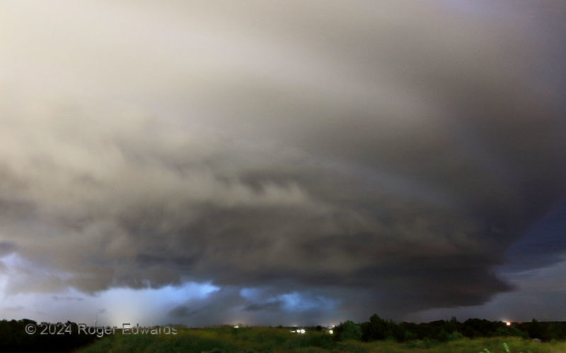
Night Supercell Blowout
The last vestiges of a city-lit nighttime supercell's tiered, stacked structure translated across the near northeastern sky, as its outflow rushed out to choke off remaining inflow. Within 10 minutes, the rear-flank gust front had roared past, rendering refreshingly cool northerly winds, while the storm lost what little lightning it still had been producing in the main core, then soon enough, … [Read more...]
- « Previous Page
- 1
- …
- 47
- 48
- 49
- 50
- 51
- …
- 425
- Next Page »