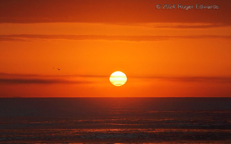
Curses to blessings: a night of very shallow, choppy sleep at a conference, just a few days after a truncated set of overnight shifts, turned into an unexpected opportunity to experience and photograph a sunrise over the Atlantic Ocean. "I can't sleep, and have to get up soon anyway, so...what the hell!" A mighty fine sunrise it was indeed, with a gentle surf washing at my feet and seabirds … [Read more...]
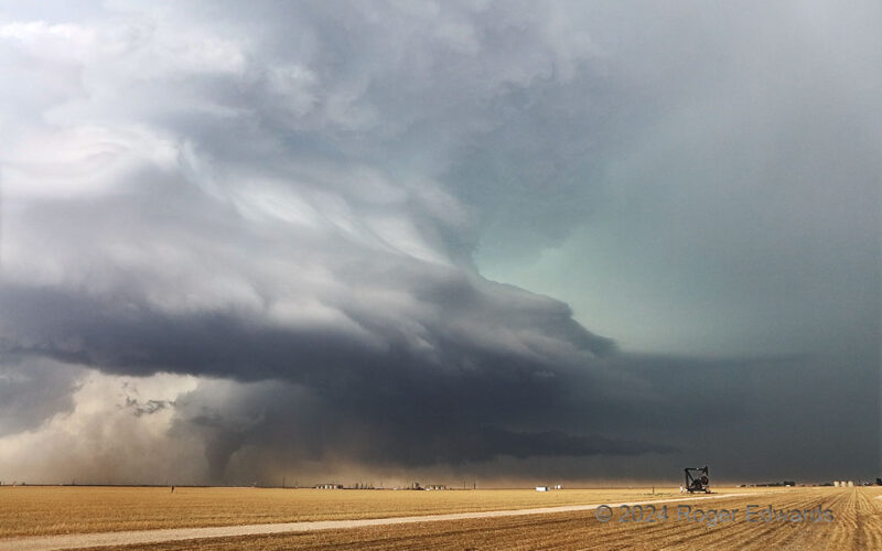
Mature Tornado and Supercell Vault
This is my favorite of many enjoyable views and shots of the Midland/Odessa tornadic supercell from 2024. It's not hard to see why: a well-developed and likely strong tornado (ultimately rated EF3), situated classically in a mesocyclone with a rear-flank/occlusion downdraft and clear slot, a low-level tail cloud back toward the forward-flank core, some texturing of the boundary layer by … [Read more...]
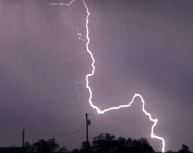
Indirect Route
The juxtaposition of two electric sources highlights the stark differences between them. While the half-second lightning flash contains 30,000 amperes of direct current, along a tortuously shaped plasma "wire" carved through the air by the invisible step leader, the physical wires supply only enough continual alternating current to support 15- to 30-amp outlets in the house. The pole-mounted … [Read more...]
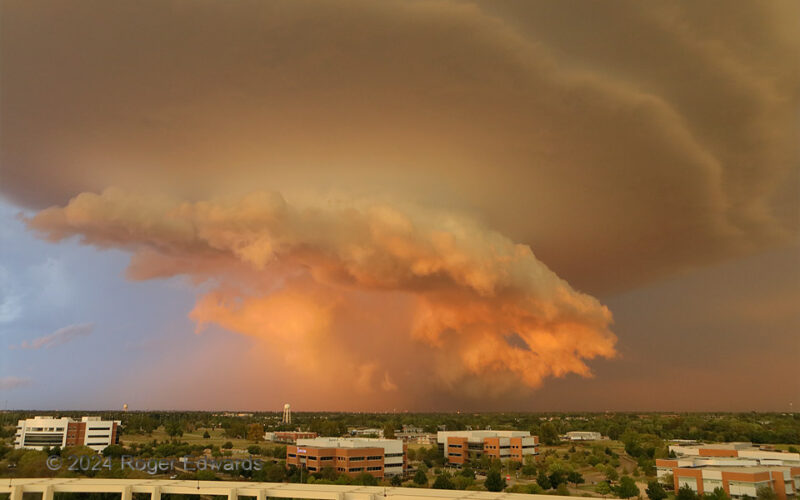
Sunset Supercell from Weather Center
The “storm chase” on this day was as easy as it gets: up an elevator and onto the roof. Seen from fortuitous ringside, high atop the National Weather Center, this astonishing supercell cruised southeastward across Oklahoma City and eastern Norman, dumping copious amounts of large hail and bathing itself in glorious sunset hue. For all the supercells that have crossed these parts in the past few … [Read more...]
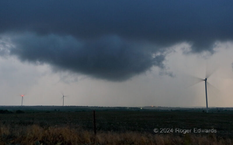
Mesocyclonic Winds: Twilight Tracers
The year 2024 offered a disproportionate number of late-twilight and nighttime wall clouds and tornadoes for me. I generally don't seek to chase at night, but sometimes will continue from daytime if familiar with and confident in a storm's morphology to safely route a viewing angle, with lightning behind the area of interest for illumination. In this case, the storms were slower to develop than … [Read more...]
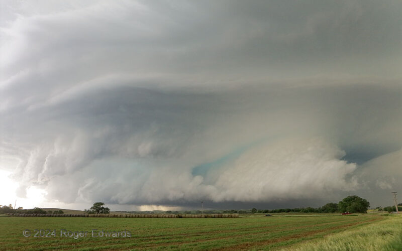
Turquoise Divider
A striking, turquoise-colored chasm between two areas of lower cloud base hinted at the immense volumes of large hail that this storm was manufacturing aloft, between Broken Bow and Ansley. Can you see the similarities and differences in evolution between the earlier "Wild Storm" stage and this? It was a large, complex, highly dynamic and fast-moving supercell that didn't allow casual, leisurely … [Read more...]
- « Previous Page
- 1
- …
- 45
- 46
- 47
- 48
- 49
- …
- 425
- Next Page »