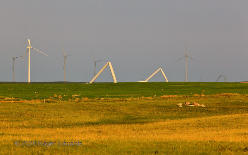
This sort of ironic and high-end damage to multiple wind turbines suggests tornadic cause; however, this instead was the result of an extremely severe thunderstorm cluster eight days earlier. Downdrafts reached 131 mph at two different weather stations in the area: a personal Ambient model and a South Dakota Mesonet site. With the turbines mechanically braked to avoid burning up the innards … [Read more...]
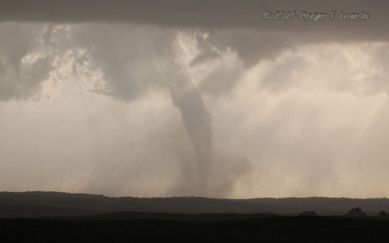
Sunlit Tornadic Finale through Rain
The long-lived Wellfleet tornado became secluded in the final couple minutes of its lifespan, and would not last more than a minute or so after this. With the parent supercell right-moving slowly toward the SSE, the forward-flank core gradually was covering more of my position, after being on its edge for some time. Fortunately the sporadic hail stayed subsevere to marginally severe here, and I … [Read more...]
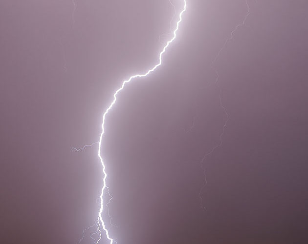
Flash into Desert Dust
One among numerous spectacular cloud-to-ground flashes, on a magical night between Tucson and Phoenix, blasted some patch of desert nearby in two places, thanks to a split contact channel. The bottom of the brightest channel was windblown enough to see slight displacement for its flashes as well; one can tell it wasn't camera shake by the lack of similar horizontal displacement of any other forks … [Read more...]
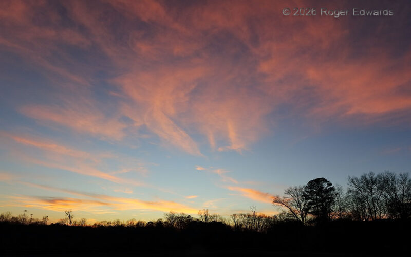
Roamin’ into Rome
After the mid-afternoon end of a conference in Atlanta, I roamed into Rome to position for a couple days of exploring, rock hunting, hiking, and waterfall hunting in the nearby southern Appalachians, before heading back home. What I didn't expect was a couple of really nice sunsets from open vantages, the first being here in an otherwise thickly forested and/or heavily developed lowland area of … [Read more...]
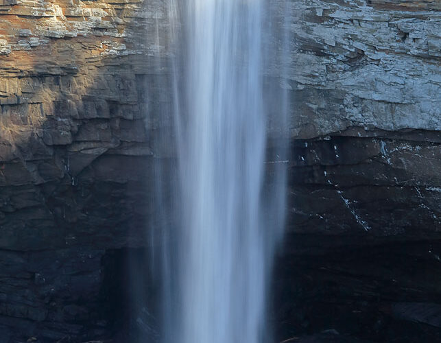
DeSoto Falls Zoom View
Level views of 104-foot-high DeSoto Falls can be had by hiking a mile or so down a trail that starts well before reaching the falls. Fortunately, on a mild to cool day in late winter, this doesn't involve dodging thorny weeds, ticks, chiggers, copperheads, timber rattlers and other natural hazards. Instead, a relatively clean view can be had from the top of a high bluff over looking Lookout … [Read more...]
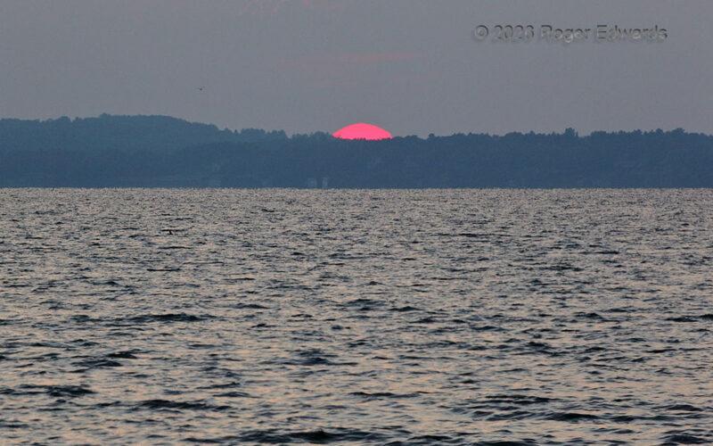
Sunset Cloudplay across the Water 5
[Part 5 of 5] In the last of the Lake Mendota sunset series, the sunset itself likely did not begin until about here, even though just a small portion of the orb still was visible. The far water edge was much closer to the invisible true horizon than the hilltop. Through extrapolation, that puts the "bottom" of the sun on the horizon. For practical purposes of course, "sunset" was seconds … [Read more...]