[Part 2 of 4] A quintessential Great Plains sky of doom descends upon the burg of Hill City, which is no stranger to such things. The northerly winds in the inflow region calmed as the immediate edge of the more intense outflow air (gust front) hit, just ahead of the striking arcus cloud. Within less than one minute, the entire shelf would move overhead, issuing its own version of a "shelter … [Read more...]
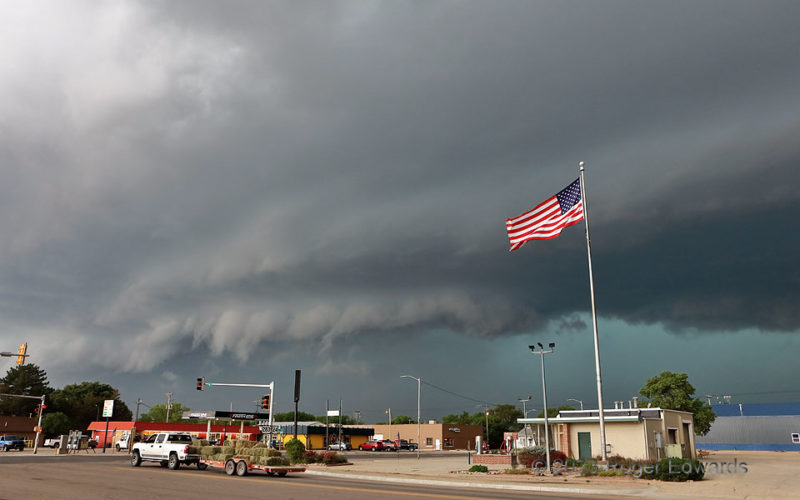
Flag o’the Flow 1
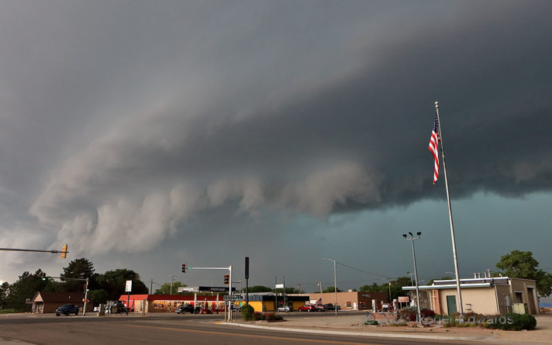
[Part 1 of 4] What had been a "Pioneer's Nightmare" of a sky near Colby, raging east to menace Hoxie, targeted Hill City next with its most severe winds yet. That was despite some northerly, cool outflow from a bowing segment to the north (hence, the flag blowing southward) that would seem to stabilize things and temper gust potential a bit. Regardless, lift was strong enough with this storm … [Read more...]
Dusty Inflow near Radium
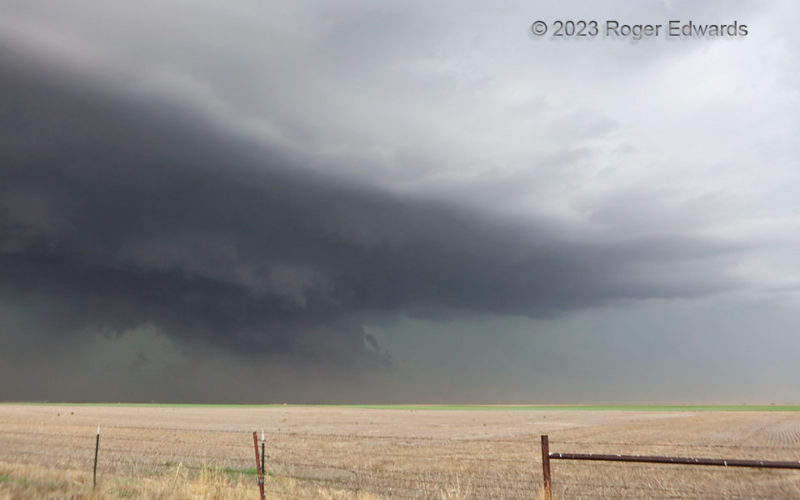
This dryline-fired supercell was in a transition stage, moving into only slightly destabilized and modified outflow air from a large complex of thunderstorms that swept across Kansas earlier in the afternoon. Instead of weakening, or becoming completely elevated, this storm hung on in a fine balance, with just enough airmass modification, via warm advection and weak diurnal heating, to keep it … [Read more...]
Rush Sparks and Flash Flood 1
This show capped a long but fruitful, three-episode day of storm observing. After I puttered around a late-morning/early-afternoon storm complex and its surging outflow in central Kansas, north and northwest of Wichita, some messy, partially surface-based, mid/late-afternoon supercells (and their outflow-dominant progeny) erupted on the dryline and moved into a somewhat modified western part of … [Read more...]
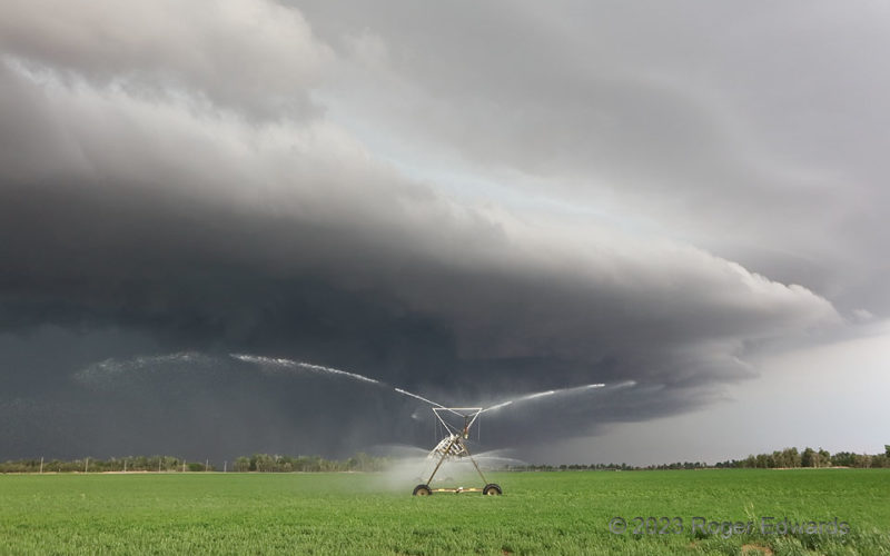
Irrigating the Storm
One of my most offbeat scenes as a storm observer appeared in west-central Kansas. A former supercell, blowing upscale into a raging line of severe storms with a menacing and strongly forced arcus cloud, didn't need any help sustaining itself. Nevertheless, this center-pivot machine offered some. Not enough to matter anyway, mind you...the storm processed millions of times more water by volume, … [Read more...]
Sparkin’ Behind the Farmhouse
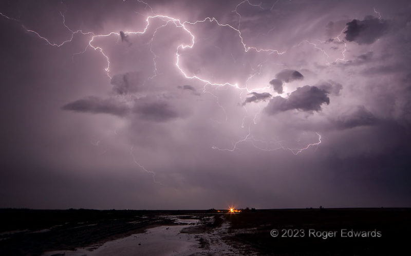
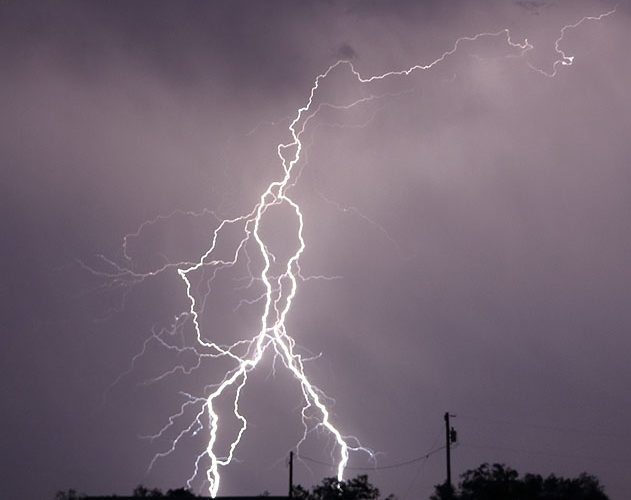
Three closely spaced, deeply and intricately branched lightning discharges, in quick succession, divided the darkness and split the silence beyond a west Texas farmhouse. During a drought year, and in a part of the state usually thirsty of crop and livestock, the hazard posed by the lightning was worth the accompanying hundreds of square miles of beneficial rainfall relief. 1 SE Aspermont TX (7 … [Read more...]
- « Previous Page
- 1
- …
- 62
- 63
- 64
- 65
- 66
- …
- 418
- Next Page »