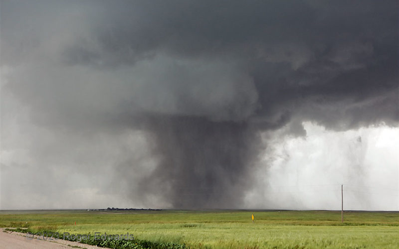
The Kimball tornado continued to raise and fling countless tons of dust, even as a descending core cascaded through the back (southwest and south, at left) sides of the mesocyclone. That would have formed an increasingly dense reflectivity hook, were there a radar nearby to scan the process. In between loud slams of thunder from nearby CG hits, and an occasional passing vehicle, I faintly could … [Read more...]
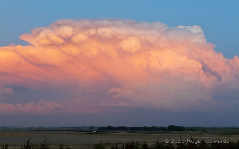
Creamsicle Cumulonimbus
Softly illuminated by a sun that just set from a ground perspective, a fast-growing cumulonimbus took on the delicious hues of an orange-vanilla Creamsicle confection, temporarily making me want to reach out and grab a cold, sweet, refreshing bite. The sky, to the eye, appeared as a great painting. This was a deeply rewarding way to end what long had seemed to be a "bustola" chase. Frustration … [Read more...]
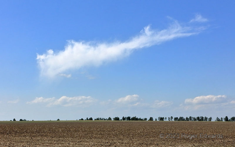
Orphaned Anvil Cirrus
The feeble, fibrous, cirrus remains of a little orphan anvil (the glaciated part of a disappeared deep-convective updraft) wafted harmlessly downwind and over the northern Nebraska Panhandle. Several of these popped forth from failed storm attempts during the hour and a half I waited here and slightly to the north near the South Dakota line, watching a local convergence maximum not quite be … [Read more...]
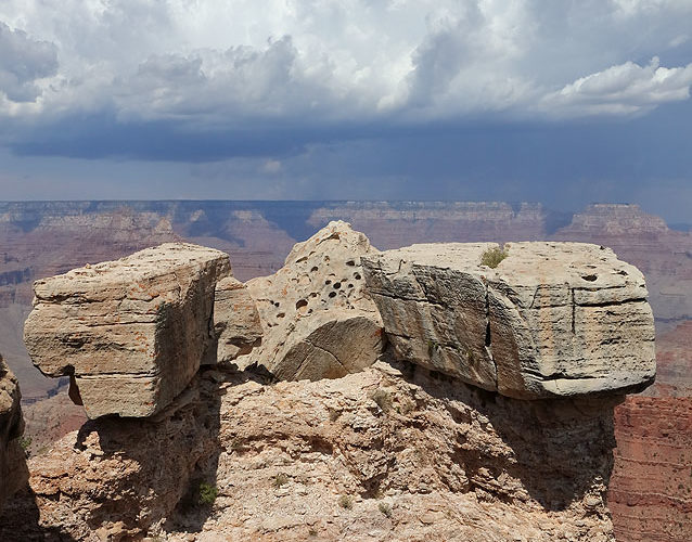
North Rim Pileus
Across the Grand Canyon and over the higher North Rim, convective towers gradually built deeper through the afternoon, until forming pileus caps and breaking the inversion cap. This was a great day for a storm photographer's first visit to the South Rim. Soon, amidst continued heating of the elevated terrain, the series of towers would evolve into thunderstorms, offering booming echoes across … [Read more...]
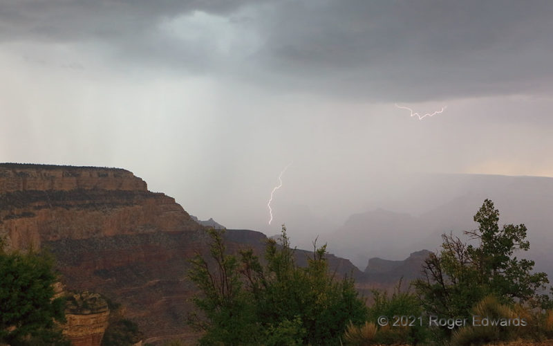
Charged Core in the Grand Canyon
On a good day for storm shooting in the big chasm, and before an even better (albeit short) evening, this late-day thunderstorm dumped copious rainfall and produced mostly loud but invisible bolts inside its dense core. This flash near the south rim (of core and canyon!) was a welcomed exception, except for the fact that the core was almost upon me, and I had to shut down shooting and move to a … [Read more...]
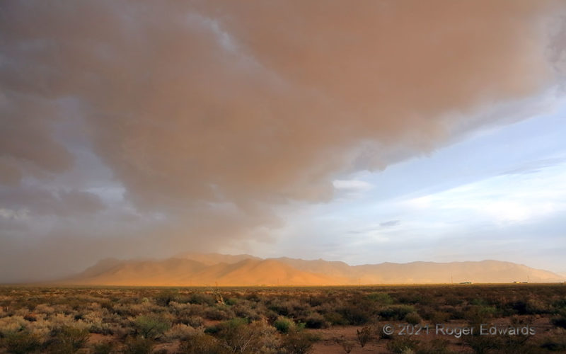
Reflected Ground Light
As outflow surged southwestward across the borderlands of southwestern New Mexico, it periodically lifted several types of clouds out of the foregoing, marginally moist air mass, including chunky partial arcus formations like this. Late-afternoon sunlight, reflecting directly off the Peloncillo Mountains, colored the overhead outflow clouds and surrounding dust a warm, muted orange hue. That … [Read more...]
- « Previous Page
- 1
- …
- 59
- 60
- 61
- 62
- 63
- …
- 413
- Next Page »
