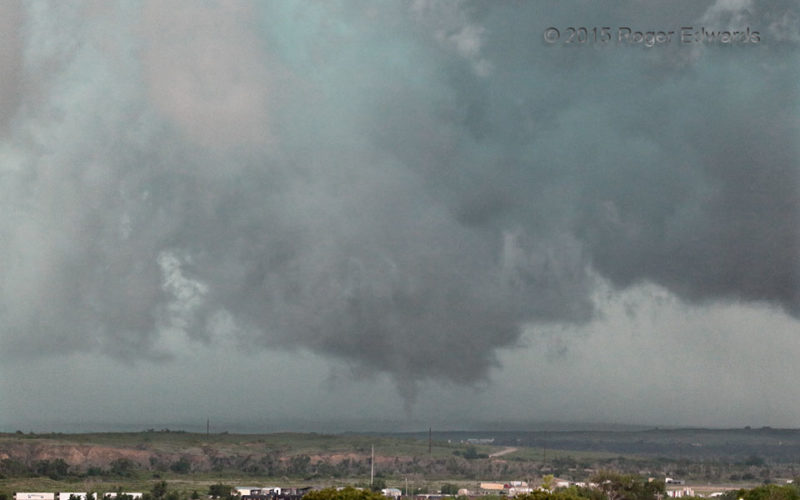
After a small multivortex tornado spent a few minutes diving southward in an elongated mesocyclone or cyclonic-shear zone, the entire, merged Canadian storm complex started a major rain dump and surged eastward. That process destroyed all the original shear zone, but not before this last, northern segment tightened up and pulled a "fast one" in the ragged remains of an updraft. This brief, … [Read more...]
Northward Surge
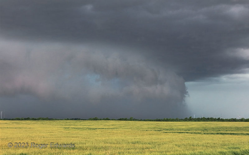
Northward-directed, rear-flank downdraft surge in a cyclonic supercell? Yes, when the supercell is moving northward, as was this intense storm southwest of Oklahoma City (here seen several minutes before in a wide-angle view from the same location). It reminded me a lot of a "Stormzilla" scene from the previous year in southern Kansas, also with a large RFD surge, but in a severe storm moving … [Read more...]
Spark in the Rain
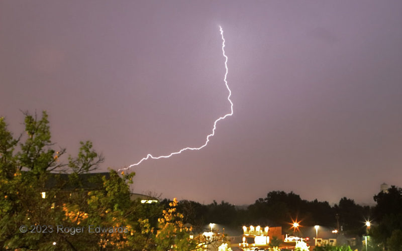
One lone, long spark sliced the city-lit, lightly rainy night sky, in the trailing precipitation area of a small, fast-moving thunderstorm cluster. Discharges like this originate high in the cloud canopy, where ice crystals dominate the precip type, and charge still can build enough to connect through a few miles of wet air to the ground. This one appears to hit the building at left, behind … [Read more...]
Mesa-Scraping Wall Cloud
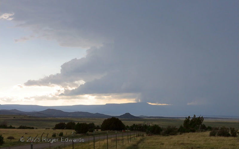
The second supercell of the day, also forming near Trinidad, rolled east-southeastward along the north rim of Raton Mesa, in a sparsely inhabited area of large ranches and High Plains canyons. The storm produced a good deal of lightning and likely severe hail and wind. Though no tornado was confirmed with this supercell, its main wall cloud did roll right over the mesa here, such that an … [Read more...]
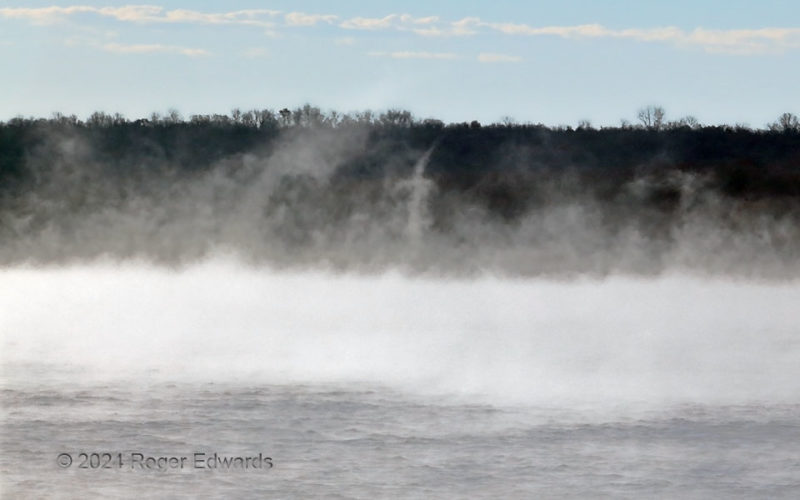
Steam Devil Scene 3
[Part 3 of 3] A well-developed "steam devil" exhibits a smooth cloud tube mostly defining the vortex. I say "mostly" because, as with actual tornadoes, the rotation likely extends outside the visible vortex, which just represents air cooled and moistened enough by lower pressure to condense before surrounding air. Dust devils form similarly, but over hot land surfaces relative to air above. … [Read more...]
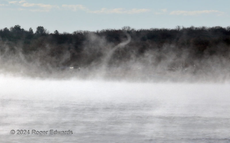
Steam Devil Scene 2
[Part 2 of 3] Though the fog formation over the lake was continual, obvious vortices with condensation tubes showed up at quite irregular intervals. How do "steam fog" vortices form? Here was a flurry of them that appeared to be taking advantage of a narrow corridor of strong cyclonic horizontal shear, then the rotating air parcels formed a chimney-like column stretched aloft by the shallow but … [Read more...]
- « Previous Page
- 1
- …
- 58
- 59
- 60
- 61
- 62
- …
- 418
- Next Page »