While a tornado was well underway in the main mesocyclone region (off screen to right), the south rim of the Midland/Odessa supercell offered a stunning wall of plated cloud structure. In fact, this part of the large and complex storm later separated from the original, tornadic area, and itself became a nontornadic right-mover. Even with an ongoing tornado that demanded close attention, it was … [Read more...]
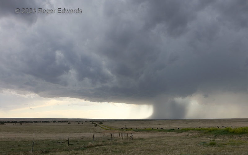
Supercellular Rain Foot
A supercell that I had been observing for a couple hours never changed its overall appearance much from this, except to widen and shrink its core on a few cycles. Here, an old forward-flank core at right was thinning, while a substantial but narrow dump (downburst) descended from the north rim of the mesocyclone region, complete with very nice rain foot. The foot probably was kicking out some … [Read more...]
Sparkling Marshall HP
An "HP Moose" of a supercell churned east-northeastward into an area where the only view into its "notch" region for tornado potential was on unsafe dirt and mud roads, so we paralleled it for a bit to appreciate the wide structure. Here, aside from flicking forth sparks in its wet vault (as such storms tend to do), the storm was absorbing other cells to its downshear and upshear sides, and … [Read more...]
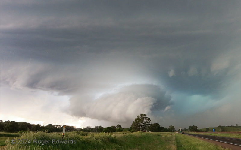
Wild Storm, Wild Light
A product of the merger of two supercells west-northwest of Broken Bow this big, complex and quite severe supercell sported two mesocyclones, one nearly wrapped in rain to my south-southwest. This one, viewed from the "notch" inflow area just off the forward-flank core, drew a lot of hail-cooled air from that core (foggy, yellowish cast behind the road and trees to the right). It then condensed … [Read more...]
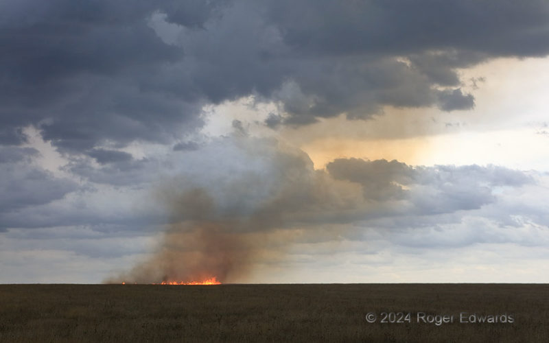
Lightning-Started Grass Fire
Before turning into a brilliantly glowing burner of multiple acres in strengthening storm-inflow winds, this fire was a slowly shifting ring of flaming grass, spreading out from its inches-wide source. Of course, when that "source" was a channel of lightning launched miles aloft, into the anvil of the storm, it only would be a surprise not to have a fire start. After seeing the channel … [Read more...]
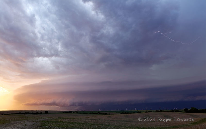
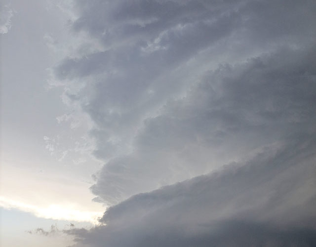
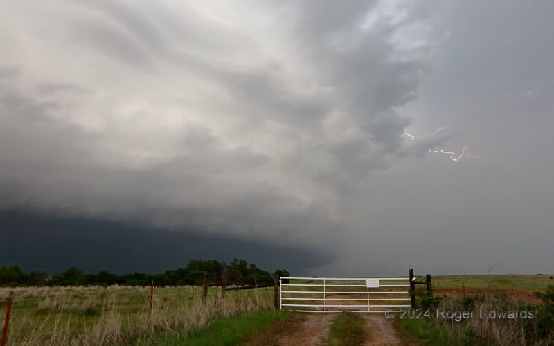
Twilight’s Ominous Beauty
Riveting and spectacular, outflow-dominant yet still supercellular, electrically hazardous but oddly calming, this twilight storm gathered sunset colors reflected from clouds to the south and interwove them artfully with cooler tones from the deeper shadows, all wrapped in a striated skirt of platy, laminar bands of air forced to lift above the shelf. This continually rumbling beauty advanced … [Read more...]
- « Previous Page
- 1
- …
- 43
- 44
- 45
- 46
- 47
- …
- 413
- Next Page »