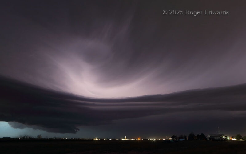
Processing the energy of a high-yield nuclear bomb, capable of protracted destruction in multiple ways (hail, lightning, floods, severe wind, tornadoes), a supercell like this commands attention as much for is deceptively graceful beauty as its manifest danger. Smoothly curving cloud streaks trace air movement as condensed water vapor flows along low streamlines, ice crystals sweeping on high, … [Read more...]
South-Side Spinner
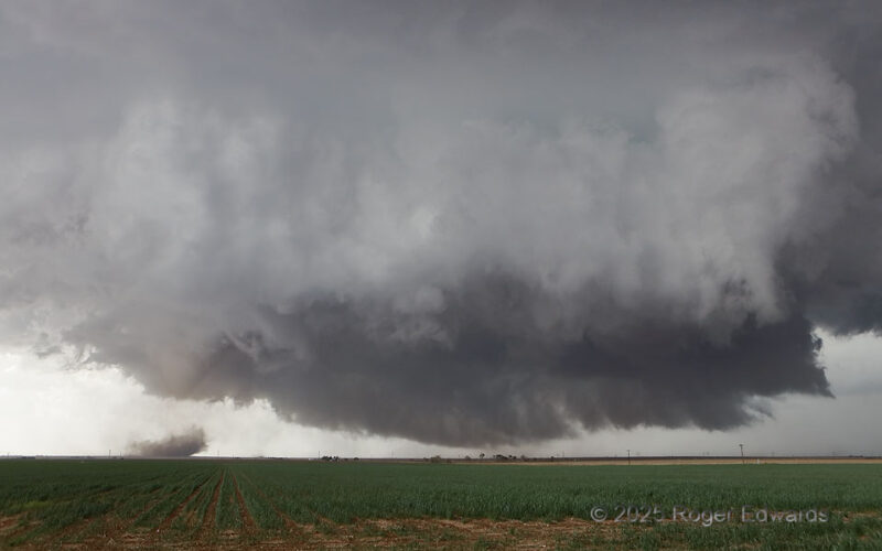
Southward-sagging boundaries generally are the bane of storm observers, for the cool (north) side tends to undercut the supercell, keeping its tornado potential limited to none. Not here! In this case, the storm right-moved southward in step with the boundary at about 5–10 knots, before both ultimately stalled, after producing at least three tornadoes. Yes, the boundary and its ribbon of … [Read more...]
Roadless Rope
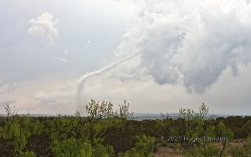
A pretty little west Texas tornado “ropes out” near the end of its lifespan, after traversing remote mesquite range many miles from any public roads. No person was harmed in the atmosphere’s making of this vortex. Jackrabbits, rattlesnakes, and mesquite bushes may have been, however. The bent-back old updraft, cleaving off the back side of the supercell, had eroded to a ragged nub, and the … [Read more...]
Smoky Duster
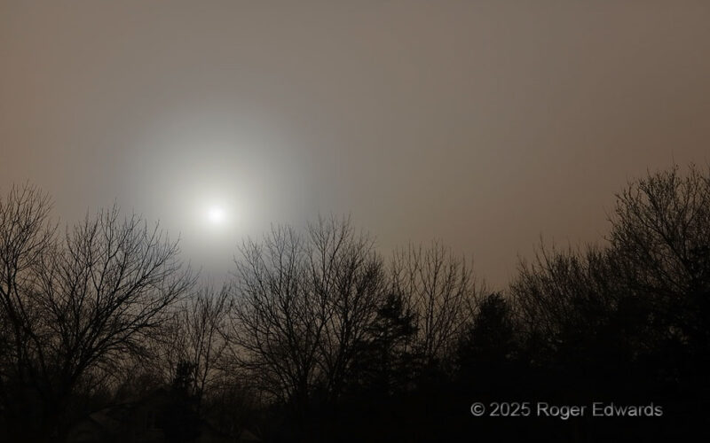
Dust from west Texas and New Mexico blew into the area behind a vigorous, synoptically forced dryline that passed through during the midmorning hours. Unfortunately, so did the very low-humidity boundary layer characteristic of the that side of intense drylines. As strong winds and dry conditions continued, over 100 wildfires erupted across the state. Though at least three of them were closer, … [Read more...]
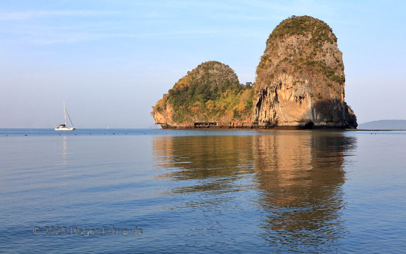
Waterside Waistline
Formed and shaped by water throughout its history, southern Thailand's Ko Rang Nok forms a splendid island example of the area's characteristic tower karst. Here, warm "golden hour" light bathes the island, shortly after sunrise. Reef limestones in the Permian Ratburi Formation, similar in age and development processes as the rock around Carlsbad Caverns in New Mexico, likewise have developed … [Read more...]
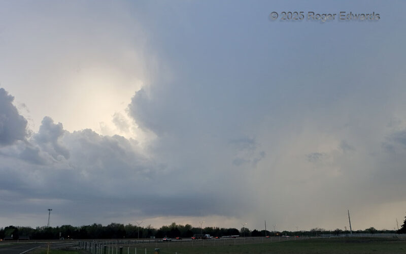
Weak Supercell
Not all supercells are raging, massively wide purveyors of swaths of devastation from hail, wind and/or tornadoes. Sometimes thunderstorms form in favorable shear but marginal buoyancy, giving them a soft and barely-there appearance, but because they still fall within the right range of deep shear, and/or propagare down a boundary (as this one did—outflow from earlier storms) they rotate. Duly … [Read more...]
- « Previous Page
- 1
- …
- 37
- 38
- 39
- 40
- 41
- …
- 425
- Next Page »