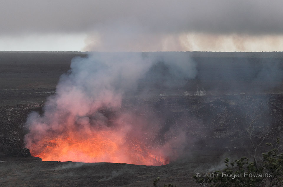
The brooding, ominous character of this scene appealed greatly to me, as a fan of deep and dark clouds related to severe storms. However, like the night before, the clouds here only were low stratus, and steam venting off the crater walls, with smaller steam discharges from just above the rim in both the foreground and distance. The lava lake had begun rising and oscillating more while we were … [Read more...]
Dakota Mammatus: Northeast
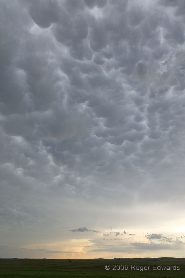
This expansive area of mammatus, which extended overhead and far to the southwest, developed under the collective rear anvil from multiple thunderstorm clusters, after an afternoon of observing an unrelated, isolated supercell attached to the Black Hills. Although clouds to the west and northwest blocked direct sunset light from getting illuminating it, the formation was no less amazing to … [Read more...]
Dakota Mammatus: Southwest
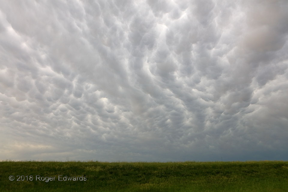
A wide field of mammatus stretched from horizon to horizon over the Buffalo Gap National Grassland, behind a complex of thunderstorms that started as separate areas of storms over the Badlands and parts of northern Nebraska (distant towers and backsheared anvil). This scene, beneath cool and refreshing outflow air, capped off a fine storm-observing day in southwestern South Dakota, reminding us … [Read more...]
Oklahoma City Arcus
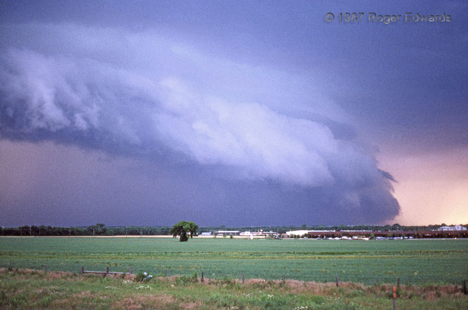
In this scan from the era's somewhat grainy Ektachrome film (I was lucky to afford that as a college student!), a large, thick arcus thrusts eastward from the forward-flank gust front of an HP (heavy-precip) supercell. Note greenish tint in the notch between the top of the arcus and the cloud base above it. The funnel-like horizontal cloud filament on the leading edge of the arcus was rotating, … [Read more...]
Taos Sundown
As the setting sun painted horizontal cirrus bands in gold and orange, a little cascade of cirrus fibratus, high overhead, jutted downward from the shadows and into the waning rays. The view is across the southern end of the San Luis Valley in New Mexico (which contains the Rio Grande Gorge); the San Juan Mountains begin on the horizon. The moment was one-of-a-kind. 5 NNW Taos NM (6 Jun 3) … [Read more...]
Storm Tails
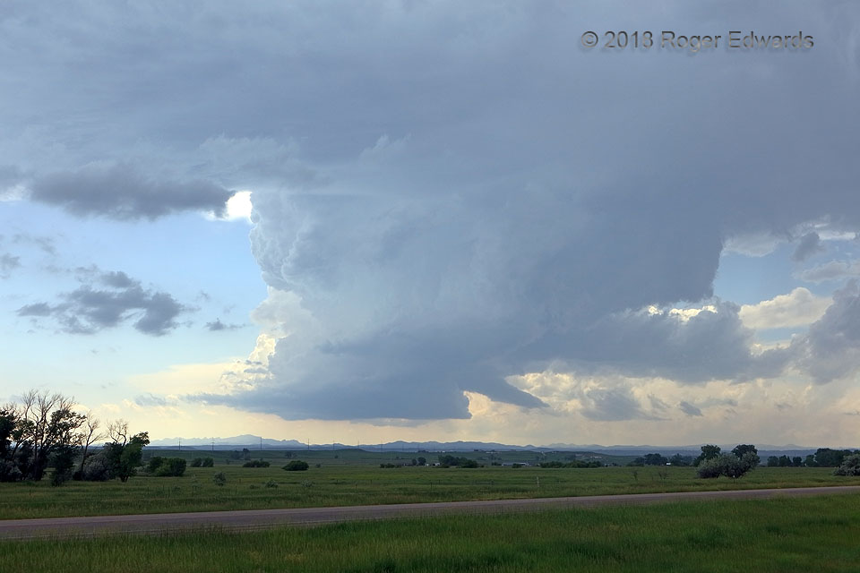
Tail clouds are appendages at least loosely resembling tails attached to thunderstorms, and are not rotating and not tornadic. They can move rapidly horizontally and/or vertically, however. Tail clouds also can occur at all levels, but usually in low to lower/middle parts, such as those seen here as the "Black Hills supercell" as the storm crawled south-southeastward across the southern fringes … [Read more...]
- « Previous Page
- 1
- …
- 224
- 225
- 226
- 227
- 228
- …
- 385
- Next Page »
