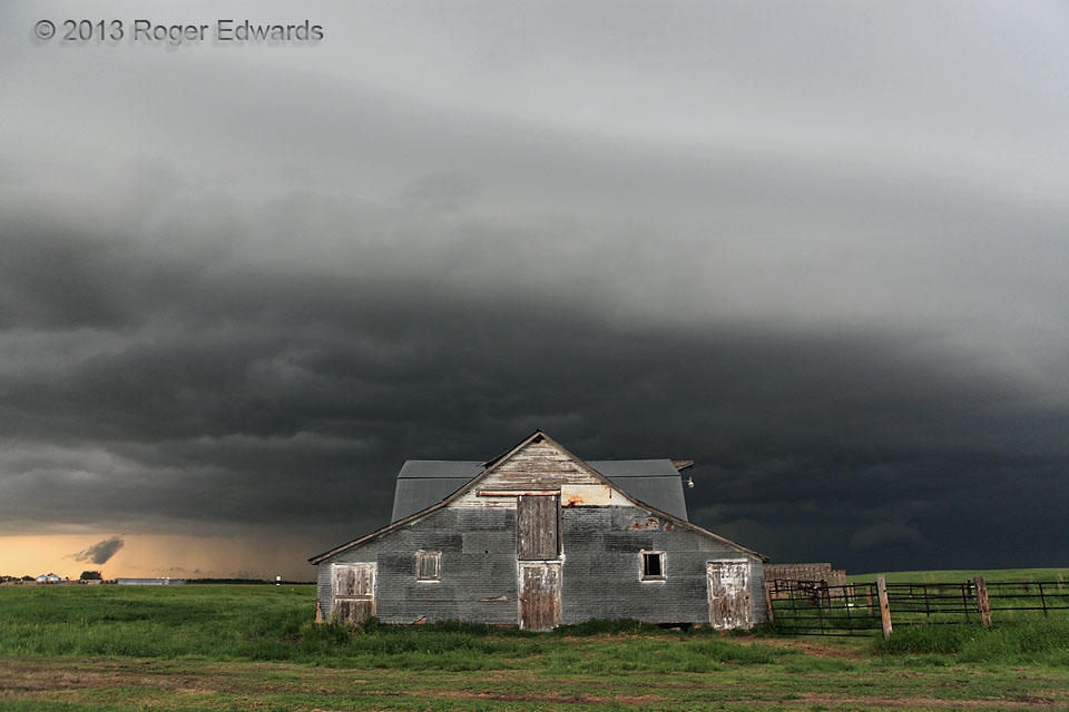
One way or another, this abandoned barn was doomed to fall, shortly. If the storm's potentially severe outflow winds didn't haul it down, the farmer would the next day with a bulldozer—as he told us within less than a minute of this image. As such, this is likely the last photograph ever taken of the pioneer relic, first constructed by homesteaders in the late 1800s, with add-ons and … [Read more...]
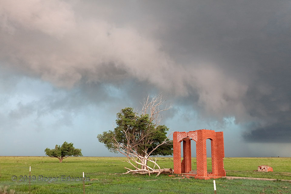
Entry Way to Storm
[Part 4 of 4] Once the ridiculously complicated mesocyclone/tornado system west of Vigo Park invariably got deeply wrapped in heavy rain and hail, it was time to get out of the way before that dense precip created dangerous driving conditions. A long line of traffic (chasers) with the same idea formed on the east road, moving slowly enough as to nearly prevent escape. Fortunately I got ahead of … [Read more...]
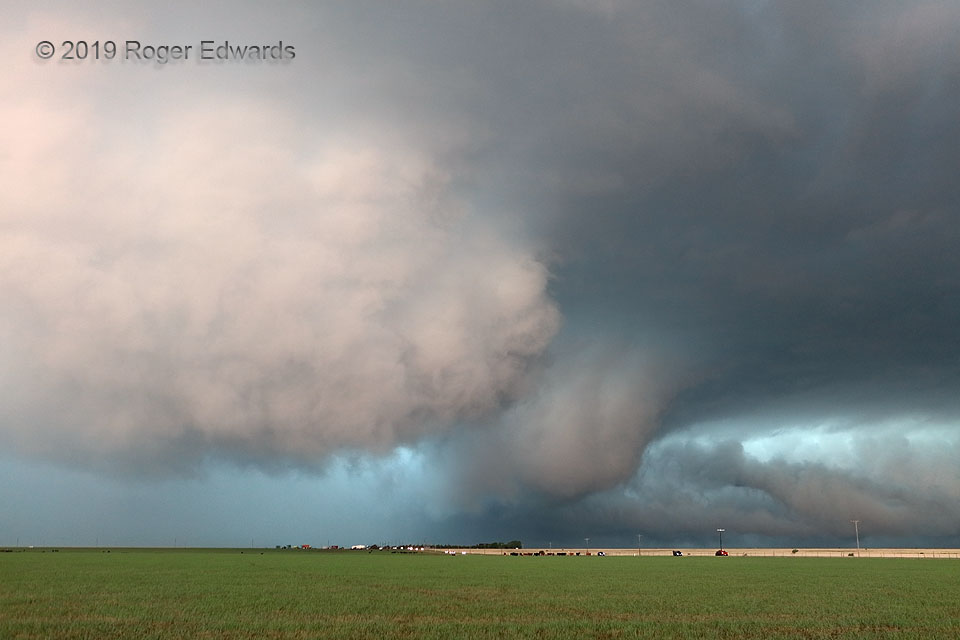
Wrap-Up with Spinups
[Part 3 of 4] As the big Tulia-to-Wayside HP supercell churned northeastward, the somewhat conical, somewhat blocky, rapidly rotating wall cloud that had followed the HP rear-flank surge northward wrapped back into the larger circulation, tightened essentially to tornadic strength on its own merit, and ultimately merging with the original mesocyclone. The northern part of the surge now was … [Read more...]
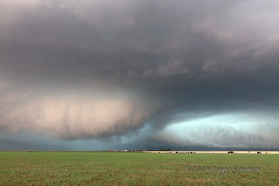
Tremendous HP Wrap-Up
[Part 2 of 4] After observing acceleration and intense motion in this supercell's strangely shaped and colored tail cloud, the oddly colored wall cloud at lower left formed along the wrapping HP gust front of this storm to my southwest, raced northward, and began spinning and tightening rapidly as it encountered the high-helicity, backed-flow environment feeding the larger, older mesocyclonic … [Read more...]
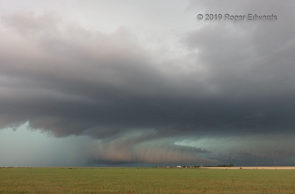
“Armadillo Tail” Cloud
[Part 1 of 4] This messy, heavy-precip (HP) supercell just above the Texas Caprock already had produced a few rainy tornadoes near Tulia, and was fixing to spin up at least another couple brief ones within an intense, wrapping interaction of larger circulations. For now, the fascinating feature was an oddly lit tail cloud, contrasted with a coral-beige hue of eastern late-afternoon light, set … [Read more...]
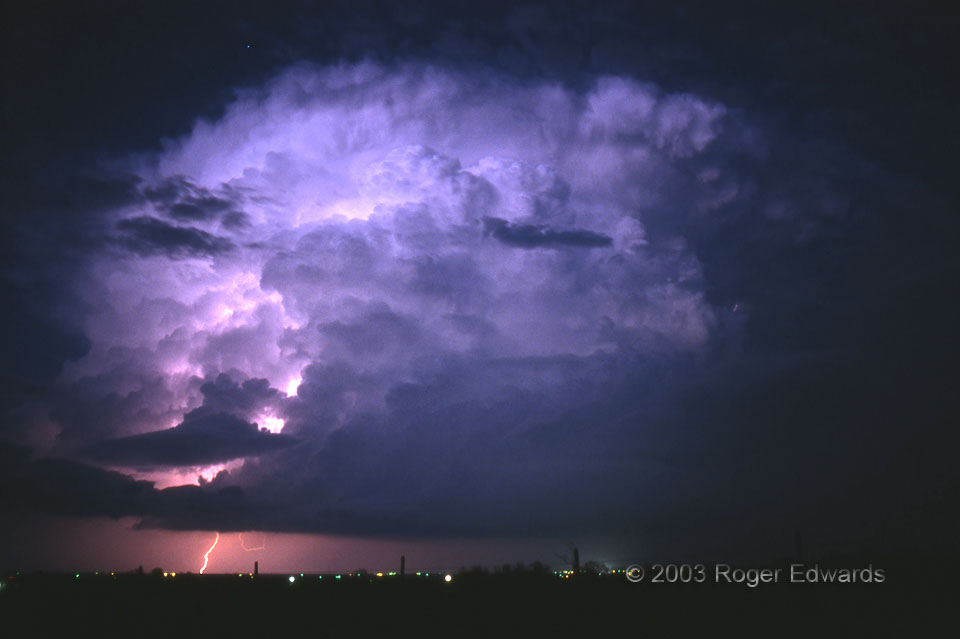
Lighting and Lightening Lightning
This supercell was doubly illuminated—from within and from without—by an enchanting combination of twilight glow and in-cloud lightning. Both lightened up the scene, hence my tongue-twisting, alliterative post title. For added measure, the storm fired off a cloud-to-ground stroke as a star rose from behind its billowing pile of convective towers. We stayed in one place as this storm formed … [Read more...]
- « Previous Page
- 1
- …
- 226
- 227
- 228
- 229
- 230
- …
- 425
- Next Page »