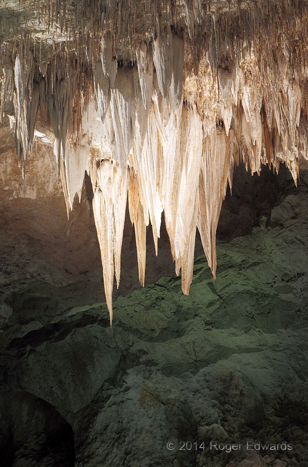
Spotlit stalactites stand out starkly against the lumpy cavern floor in this section of the famous Carlsbad Caverns. Each point represents the current terminus of a dripline of mineral-rich water, where evaporation causes each drop to deposit a some calcium carbonate and staining iron minerals that had been dissolved from the limestone layers above. Even though southeastern New Mexico doesn't … [Read more...]
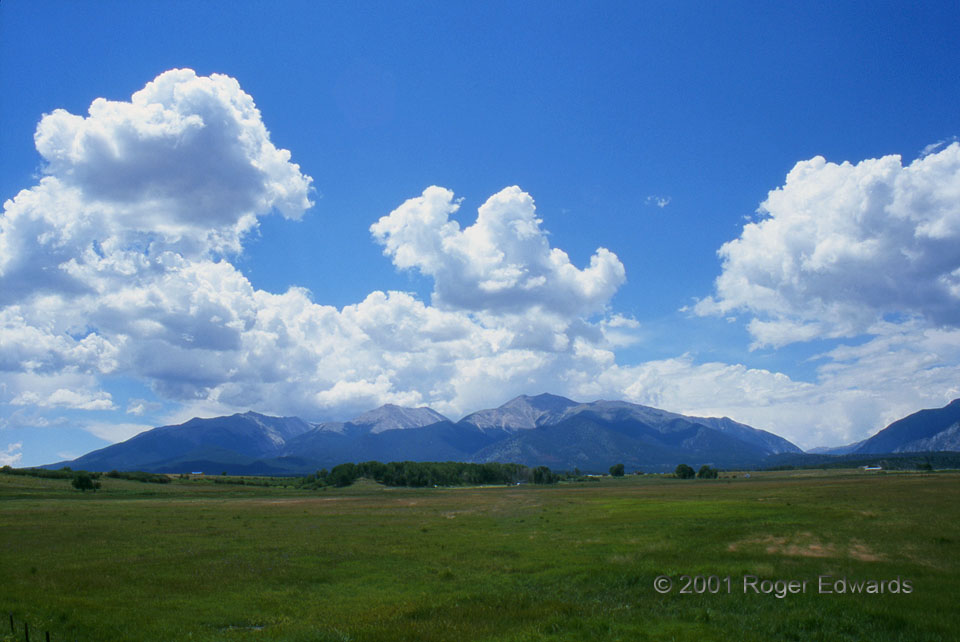
Colorado Cumulus Mix
Epitomizing the wide western skies of American legend, and peaceful summertime scenery in the high country, various iterations of cumulus mediocris, cumulus humulis and fractocumulus drift beyond and before the Sawatch Range. Quite often, in another hour or two after this level of cloud development, the serene Rocky Mountain skies will grow volatile as convection deepens off the mountains, with … [Read more...]
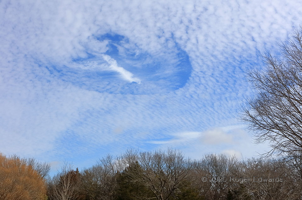
Fallstreak Hole (Cavum) in Cirrocumulus
Also known as "hole punch cloud", this cloud type is defined more by cloud absence. Most are circular, elliptical, or cigar-shaped, but this one appears like a dinosaur foot, loosely akin in shape to a bizarre supercell base I photographed in 2011. Fallstreak holes can have many origins, but usually happen when airplanes introduce ice crystals two ways within a field of cirrocumulus (or dense … [Read more...]
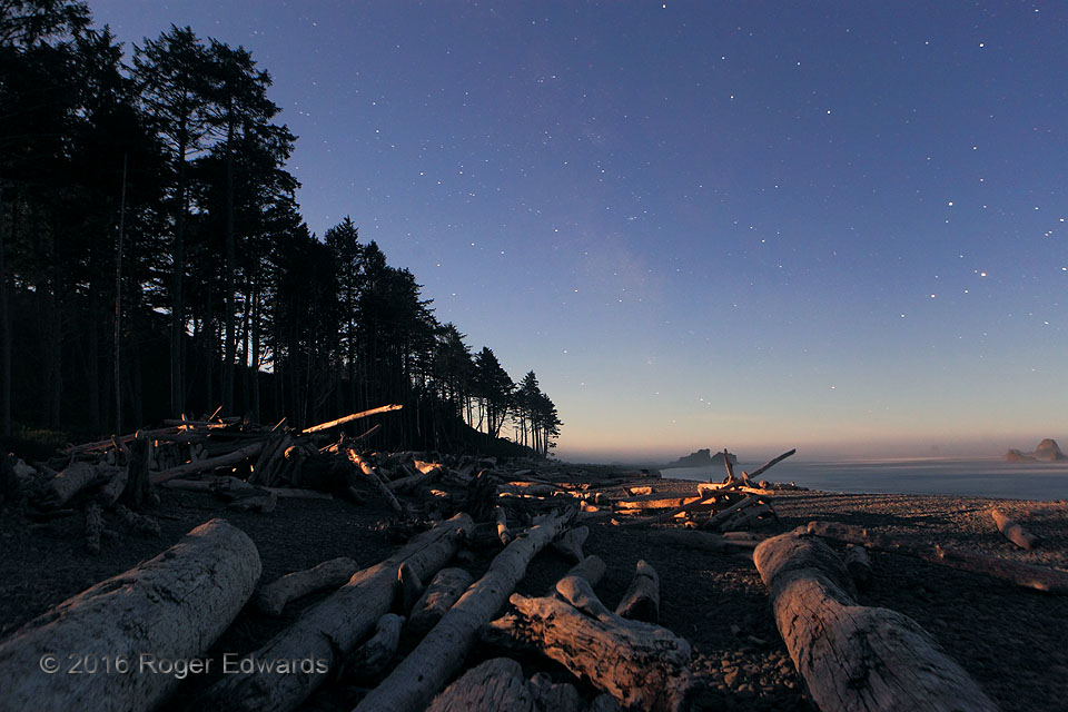
Moonlit Evening on Ruby Beach
After a foggy sunset, I stayed through twilight, then a bit into a full-moon night that was uncharacteristically clear and calm for a Pacific Northwest beach. Good thing too...for as the moon rose over the oceanside hills and shone in rays through forest gaps, it still wasn't too high to bear a somewhat reddened tone, reflected off gray logs, dark-gray/brown sea stacks, and a thin layer of marine … [Read more...]
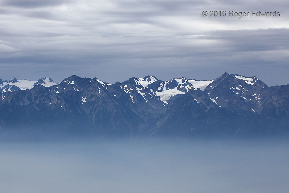
Cloud, Mountain and Smoke Sandwich
Fire that had burned for many weeks, in the remote Olympic Peninsula wilderness, filled a cool and stable boundary layer with dense smoke that spread across much of the national park on this quiet Sunday morning. Meanwhile, from a promontory 5,000 feet above sea level, and about a thousand above the smoke, we could see the solution soon to arrive: rain from the Pacific, mostly just beyond this … [Read more...]
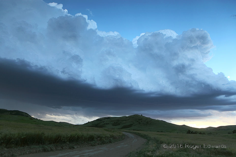
Shadowed Storm Towers over Montana Hills
A flanking line of towering cumulus and cumulus congestus rose over a tail-end zone of low-level convergence that was attached to a supercell unseen at left (east), mainly beyond a rampart of high hills. Shadowed by the anvil of other storms forming on the Bighorn Mountains (unseen at right/west), these turrets assumed a cool bluish hue, reflecting part of the sky's tone from above. I love this … [Read more...]
- « Previous Page
- 1
- …
- 200
- 201
- 202
- 203
- 204
- …
- 425
- Next Page »