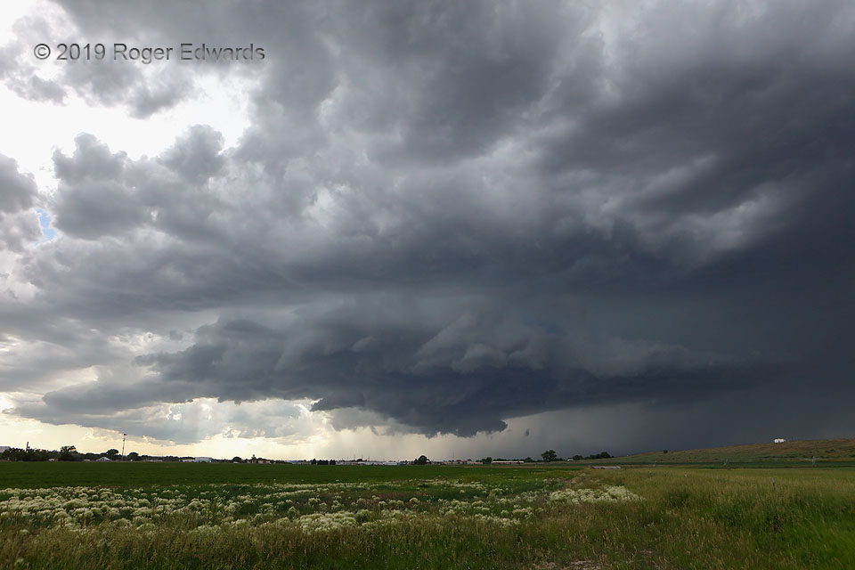
The title here could be a double meaning, but one of them literally was true. This sensational supercell rotated most intensely right over Torrington, dropping severe hail and heavy rain, before weakening east of town. The aviation identifier there is TOR, which coincidentally also is the abbreviation for "tornado warning" in meteorology. Fortunately for TOR, no TOR was needed, and no tornado … [Read more...]
Fiery Sunset Storm Tops
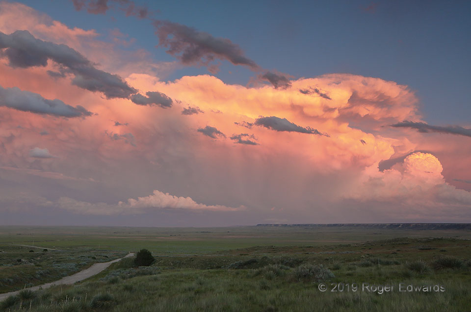
A brilliant, thoroughly enchanting scene greeted me, on this first full day of a two-week summertime photography excursion to the Great Plains and Southwest. The aim: wondrous scenes and opportunities for storms and landscapes. Goal fulfilled here, on both counts, on day 1! A complex of severe thunderstorms rumbled off the eastern Wyoming high country into the Nebraska twilight, its dense … [Read more...]
Blasting the Borderlands
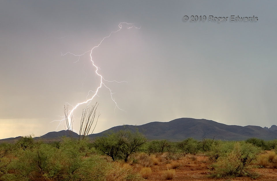
Much like other modes of storm observing, chasing lightning in Arizona often requires many hours of driving and/or patient monitoring before getting into position for the show that may or may not happen. In this case, I had driven west from Las Cruces, NM, for the first of four days of an abbreviated monsoonal moisture intrusion near Tucson, the afternoons of which were spent roaming the few … [Read more...]
Ghosts of Forest Past
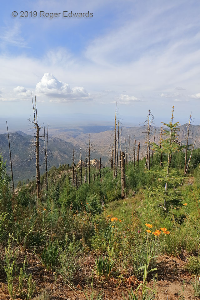
Mount Lemmon is a 9,000-foot "sky island" of forests, whose summit boasts much-cooler summertime temperatures than the sweltering valley floor below. Saguaros skirt the mountain's lower slopes while a mix of evergreens (mainly Douglas fir and ponderosa pine) reside above. Being set amidst a desert, this place is prone to droughts and the occasional destructive inferno. In June and July 2003, … [Read more...]
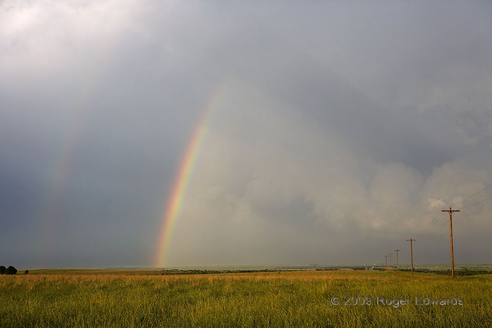
Double Rainbow over Osage County
One of the simple pleasures of being behind the storm near sunset is the ever-evolving multi-sensory canvas offered by its departure in the waning daylight. This storm's post-passage palette began with this double rainbow, cast in a four-dimensional frame along with the refreshing smell of newly drenched earth, the thirst-quenched cheer of warbling birds, and the invigorating feel of a cool, … [Read more...]
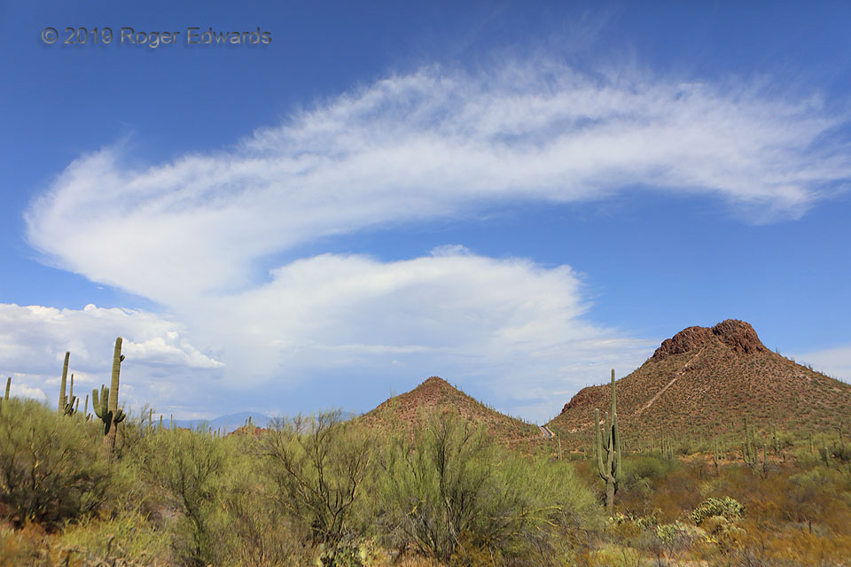
Anvil Castoff
Set behind the rocky, saguaro-sprinkled landscape of southern Arizona's Tucson Mountains, a multicell thunderstorm and its anvil grow over the distant Santa Catalina Mountains. An earlier pulse of anvil growth shed a ring of cirrus that nearly completely detached from the original cloud mass, appearing here as a sickle-shaped appendage to the top of the storm. 12 NW Tucson AZ (15 Jul … [Read more...]
- « Previous Page
- 1
- …
- 198
- 199
- 200
- 201
- 202
- …
- 413
- Next Page »
