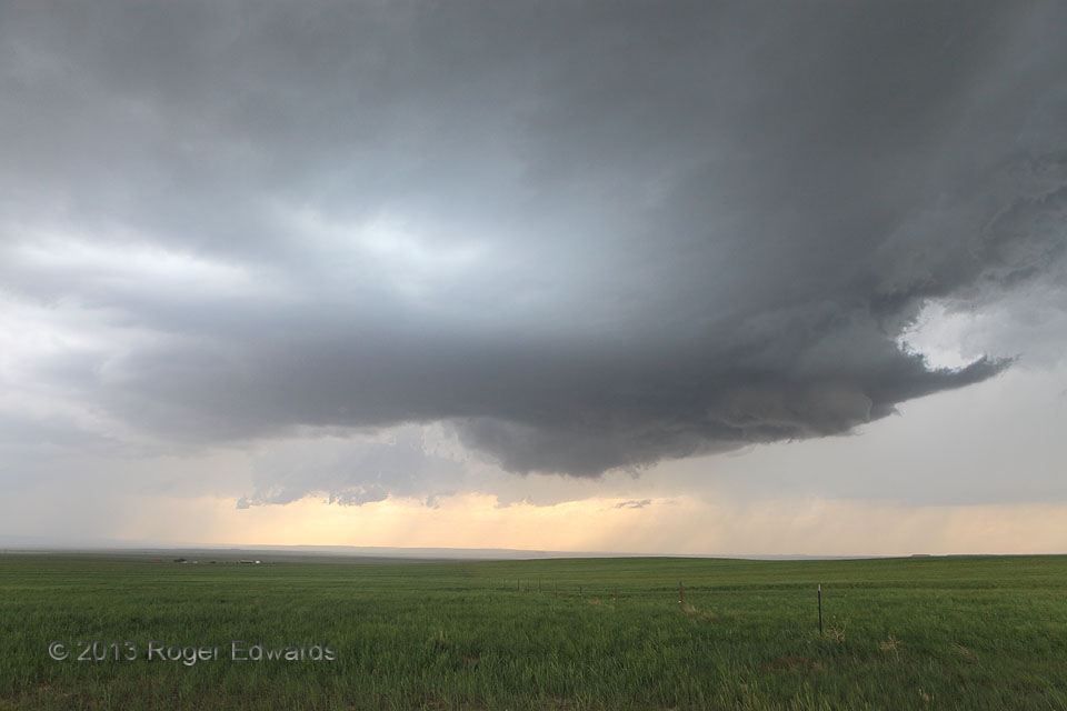
This well-curved Wyoming supercell, with a small forward-flank tail cloud, wrapped part of its a rear-flank downdraft nicely around the front side of its mesocyclone, as manifest by the clear slot cutting partly across the front side of the shallow wall cloud. Meanwhile, a few wispy, short-lived funnel attempts came and went, with no discernible ground-level contact. This pretty storm saved its … [Read more...]
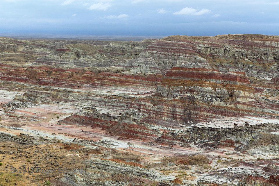
Hell’s Half Acre
The biggest "half acre" you'll see at 320 to 960 acres (depending on how it is defined), the "hellish" version adorns one of the driest parts of an already dry state. However, on this day, the southern sky looked wet and heavy for a good reason. Intermittent light rain fell here along the northern rim of the same weather system, infused with moisture from former Pacific and Gulf of Mexico … [Read more...]
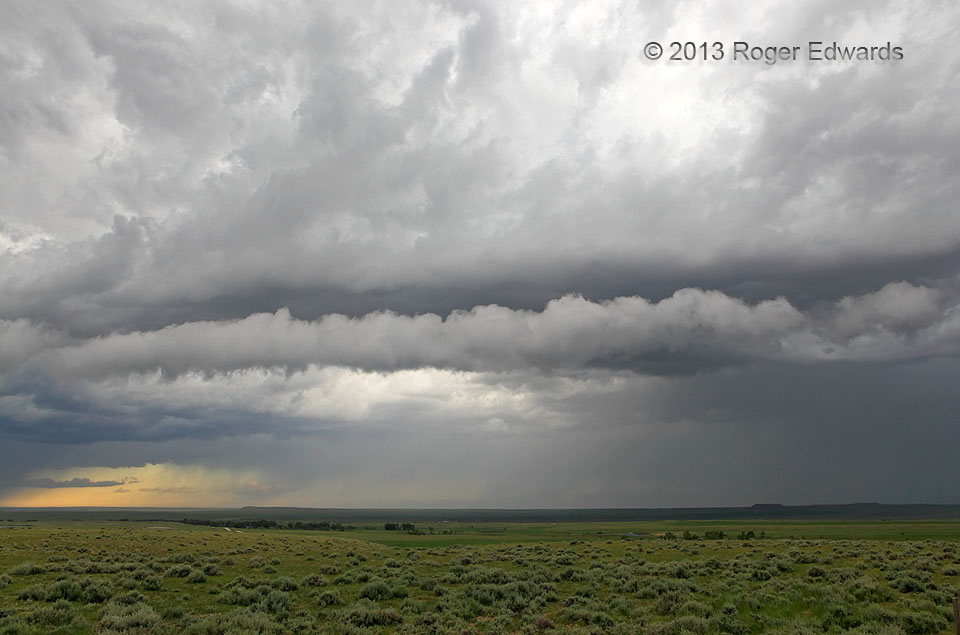
Roll Cloud
Roll clouds are a subset of arcus clouds, but defined by being completely visually detached from other cloud formations, including the parent storm that causes them (in the case of those like this that closely accompany thunderstorms). Roll clouds also sometimes arise from cold fronts, outflow boundaries, or sea breezes intersecting suitably moist air. They can be convective in character, like … [Read more...]
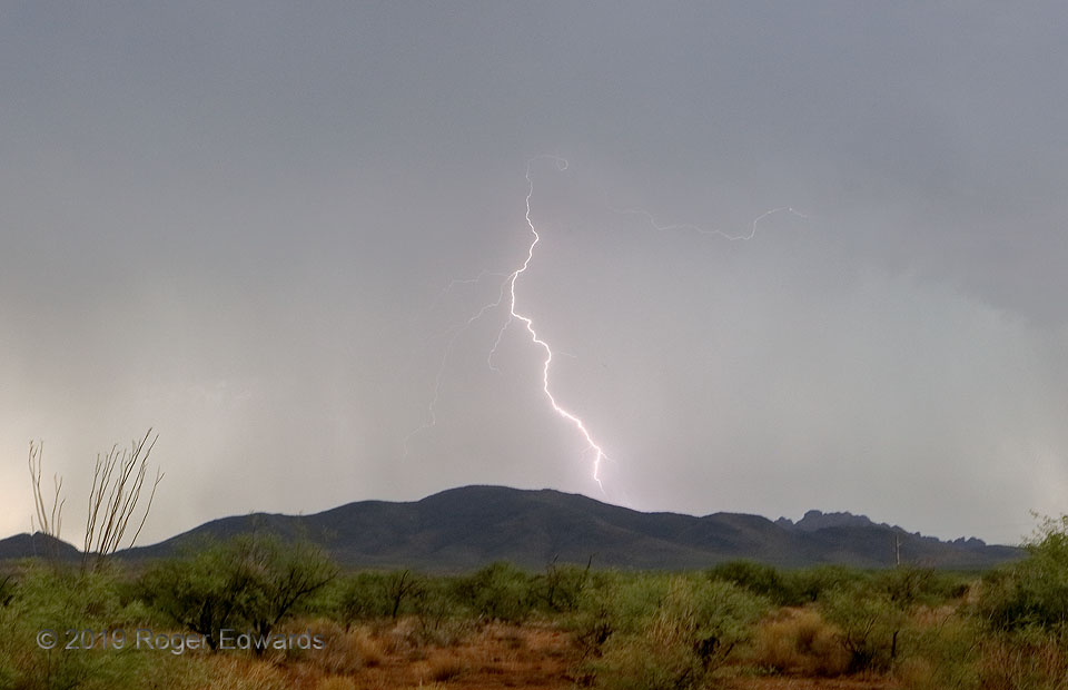
Rainy Jolt in the Borderlands
The atmosphere in the Borderlands south of Tucson was charged up on this first moist, thundery afternoon of the delayed "monsoon" season. Several brilliant cloud-to-ground strokes peppered the countryside on and alongside the low mountain range to the west, including this one, whose lower-most reaches hid within a core of heavy rain. A faint, horizontal lightning filament decorates the area … [Read more...]
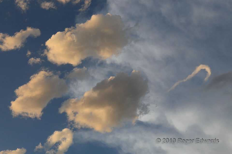
Horseshoe Vortex Splitting Away: Part 2
What had been, in effect, a horizontal funnel (Part 1), attached to the middle chunk of cumuliform cloud, split off to become an independent "horseshoe vortex", with enough form and rotation to maintain its condensation and visual character for a few more minutes. The sunset coloration on these lower clouds made them stand out nicely against the sky (whose blue was darkened by my deliberate … [Read more...]
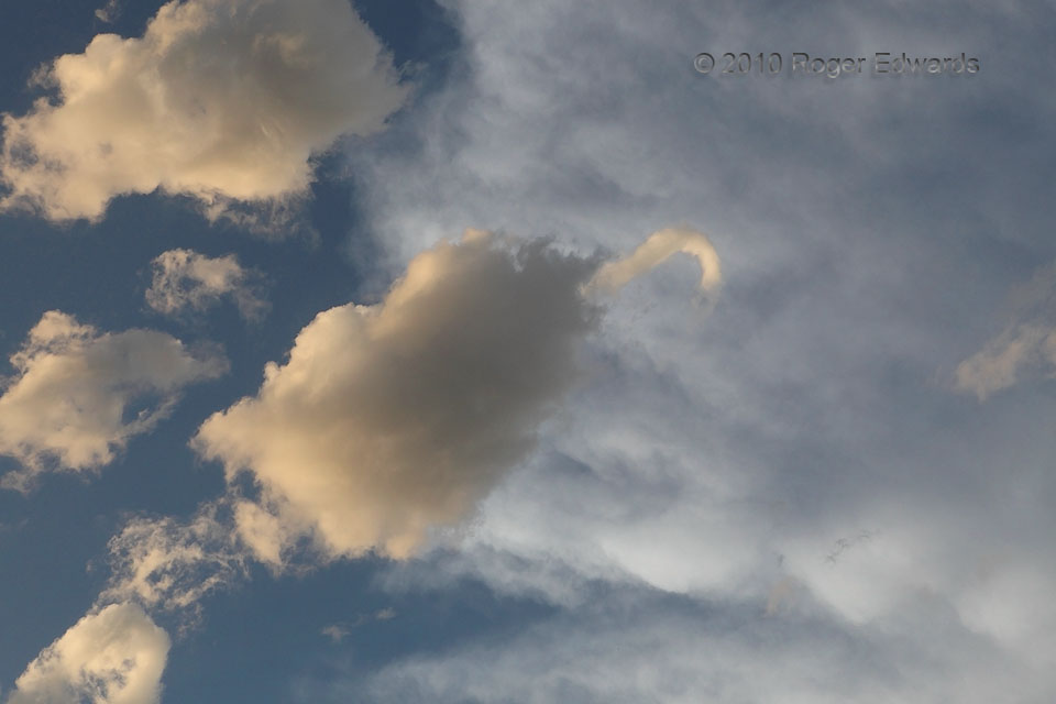
Horseshoe Vortex Splitting Away: Part 1
Several horseshoe vortices and fractocumulus-spawned funnels appeared during this late afternoon, following the passage (and above the outflow pool) of a growing complex of severe thunderstorms. Of those tubes, this hook-shaped one at center-right was the most fascinating, visibly developing along the edge of a small, ragged cumuliform cloud, then slowly extruding from it, as if the parent cloud … [Read more...]
- « Previous Page
- 1
- …
- 196
- 197
- 198
- 199
- 200
- …
- 425
- Next Page »