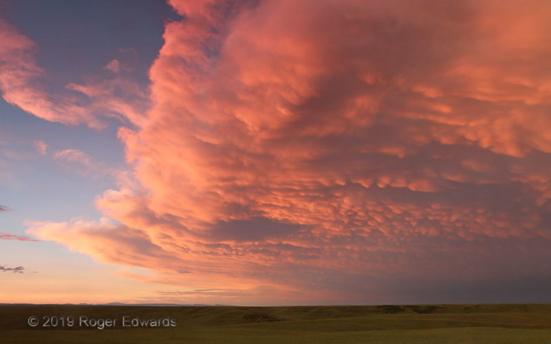
Just in a short few minutes, the "Northern-Sky Spectacular" changed dramatically in tone from a deep golden to this coral pink-orange, with countless mammatus pouches catching color and casting shadow. The sky backing up a severe-storm complex was finishing a thoroughly dazzling and inspiring sunset show in multiple directions. This made the chill of high-altitude outflow winds much easier to … [Read more...]
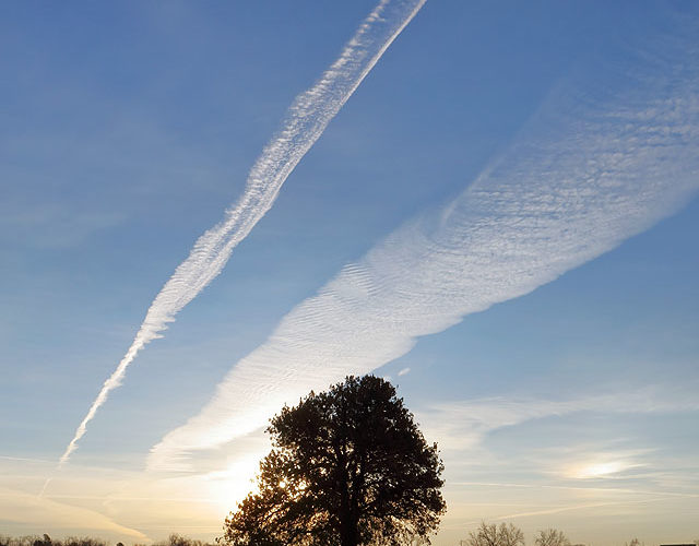
Contrail Flow
The end of an all-night operational shift doesn't have to mean the end of the weather for the day. From the parking lot of the National Weather Center, I saw an old east-to-west contrail maintaining its edges but widening while moving southward. A plane was flying from Memphis to Las Vegas to its immediate north, creating a new, parallel contrail. Both maintained orientation as they advected … [Read more...]
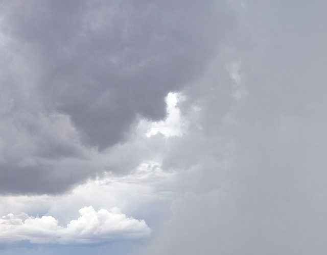
Core in Chaotic Desert Sky
In the outflows of mountain-grown thunderstorm cores, the annual southwestern North American monsoon cycle renders hot desert to cool, scuddy moistness. One of the many appeals of this regime to me, as a storm observer, is the natural clash of concept between gravelly, scrubby, mostly treeless expanse manifesting the dry climate, and wet, dark scenes like this that provide the meager yearly … [Read more...]
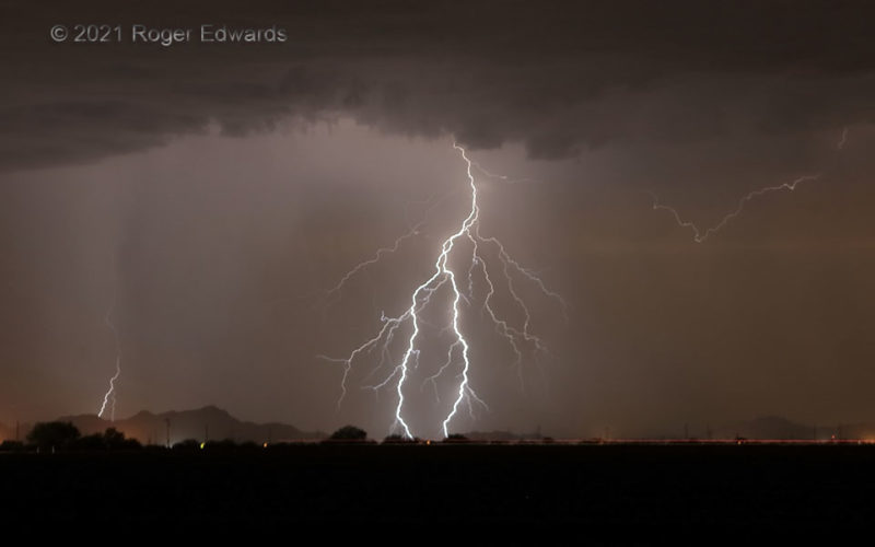
Split Spark
Split-channel cloud-to-ground flashes happen when two branches of a downward step leader ground themselves simultaneously, each accepting nearly half the share of the uprushing earth charge that lights up all connected forks. On this warm, breezy Arizona evening, a train of electrically profuse multicells cruised by to the north and northwest, each offering many lightning strikes to see, hear and … [Read more...]
Sunrise Tree: Early 2022
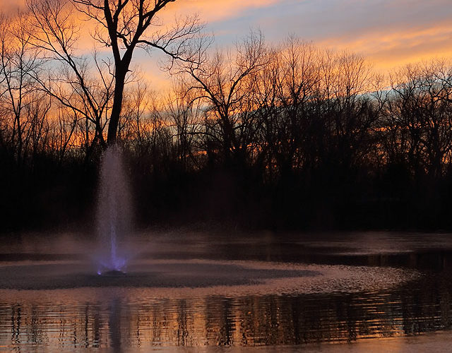
This wonderful dawn of color and light followed an amazing sunset in Norman, which itself painted a brilliant encore to a spectacular sunset show two days before that. Since the previous fall, neighboring property owners have floated a fountain out onto the pond fronting the sunrise tree, further texturing the marvelous sunrises I sometimes see there, and offering lessons in phase change of … [Read more...]
Dim and Dimmer
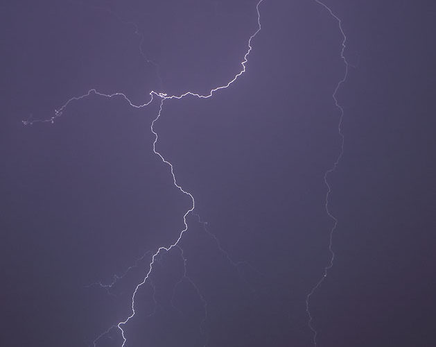
Some lightning flashes simply are much dimmer than others, this one particularly so. Yet its faintness can't be explained by partial exposure (the shutter was open before and after), burial deep in a core (notice its very sharp and intricate detail), nor distance (the thunder took about 10 seconds, or two miles' sound length) to arrive. A normally bright cloud-to-ground discharge at similar … [Read more...]
- « Previous Page
- 1
- …
- 101
- 102
- 103
- 104
- 105
- …
- 413
- Next Page »
