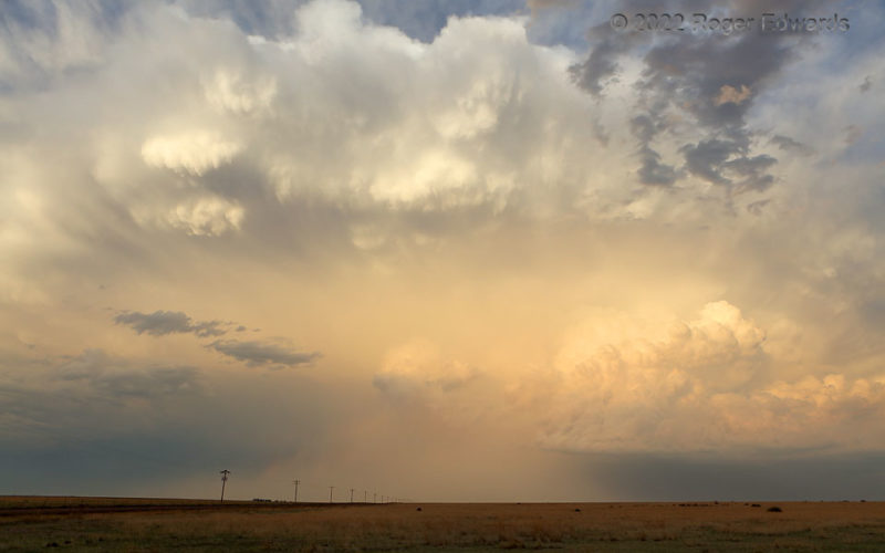
An unexpected blessing of a sunset scene continued to deepen over the High Plains, offering a protracted enchantment in the form of wondrous color and texture filling the eastern sky. With shadowy clouds in the west, the storm's reflections illuminated the landscape enough that it came out in the photograph, no filter needed. Large knuckle clouds (upper middle) continued to roll across and down … [Read more...]
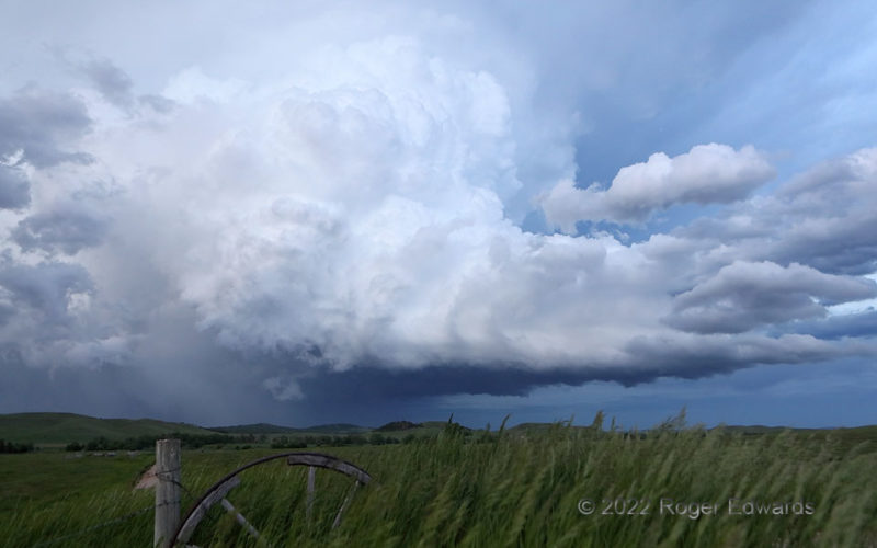
Flank in the Twilight
Two days in a row, fast-moving supercells rolled out of southeastern Montana, across northeastern Wyoming, and across the Belle Fourche and St. Onge areas in South Dakota. The first, here, was later in the day, and visually spectacular at this site. After the rear-flank gust front swept past, the storm briefly showed off this still-intense, deeply convective rear-flank updraft region, before … [Read more...]
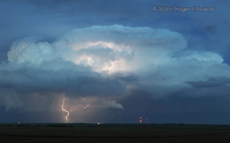
Blue-Hour Thunderhead
This remarkable little storm complex got a more prolific with its CG lightning later, but I also enjoyed this phase, with sharply defined updraft pulses in varying stages of maturity, from oldest (right) to newest (left). In the "blue hour", its internal light complemented the reflected twilight nicely, with the CG flash as a potent punctuation mark. 4 W Sharon Springs KS (4 Jun 22) Looking … [Read more...]
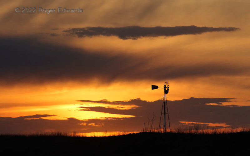
Sunset on the American Prairie
At the end of another storm day, as concludes many a day out on the High Plains, the sun sets with yet another unique, kaleidoscopic cloud arrangement. Many places lay claim to consistently grand sunsets, including a lot with more water, mountains, and/or funding from chambers of commerce to build websites and print tourism brochures. Yet right out here, on the American prairie, the sundowns go … [Read more...]
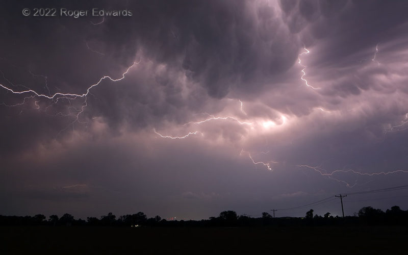
Flickering through Mammatus
High-amperage sparks tickled the mammatus-festooned underside of the anvil region trailing a departing thunderstorm complex in southern Oklahoma. This activity didn't produce lightning profusely, once we found a place to stop and shoot, but the few discharges it had were much appreciated. 2 W Davis OK (15 May 22) Looking SSW 34.503, -97.155 … [Read more...]

Windshield Hail Crater
Drive into a supercell core hurling 3–4-inch hail, and you soon shall understand misery and destruction. Fortunately this wasn't mine, though I have experienced this very sort of crushing defeat on a couple occasions (16 May 1991 and 28 March 2007)—both at the hands of classic supercells that also produced at least 5 tornadoes each. Instead, this was in the parking lot of a La Junta motel where … [Read more...]
- « Previous Page
- 1
- …
- 99
- 100
- 101
- 102
- 103
- …
- 425
- Next Page »