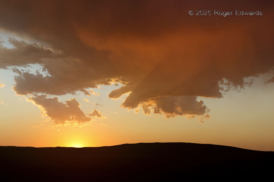
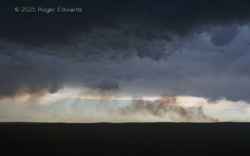
Riding atop a cold pool from a fast-moving storm complex to the east (behind), this high-based and elevated storm formed and raced eastward through sunset light. Its flared base and cloud tail hinted at midlevel cyclonic rotation that was quite evident in the nearby Thedford (a.k.a "North Platte") WSR-88D velocity presentation. What an unexpectedly welcomed way to finish off an otherwise messy … [Read more...]
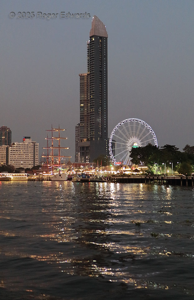
Chao Phraya Riverfront in Twilight
Following a classically Thai sunset, a riverboat offered a wonderful reflective view of Bangkok's Asiatique waterfront mall and feris wheel, as well as the 54-story, 785-ft-high Menam Residences tower, at the time the 19th-tallest buidling in the city. Bangkok, Thailand (5 Feb 25) Looking ENE 13.7053, 100.4989 … [Read more...]
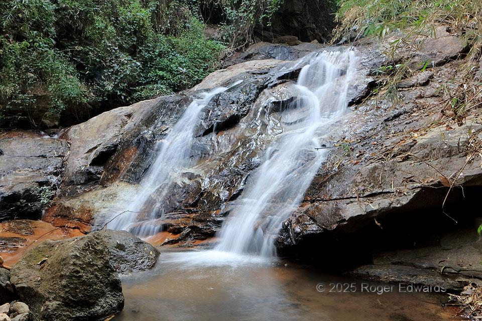
Pha Lat Falls
The second cascade of Phra Lat Falls was my favorite of the set, tumbling over the granite slopes of “Doi Suthep” mountain in lacy steps leading to a small pond. The upper (first) cascade contained a concrete block from road construction above, so I didn't even bother to shoot it. However, the next lower one was beautiful as well. The tripod, aside from serving as a convenient hiking stick on … [Read more...]
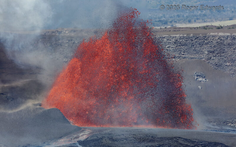
Hot Rock Pyramid
The daytime view of 2025 eruptive fountaining episode 33 wasn't as tall as it had been before sunrise, but I moved around to the SE side to get more of a broadside view of the spectacle before it fizzled out. Still, at least 100 cubic meters per second of lava chunks shot forth in a pulsating plume, slowly cooling into thousands of airborne and mostly incandescent rocks still near 2,000 degrees … [Read more...]
Prairie Smoke into the Storm
Backed by the dark depths of a storm complex and its shelf cloud (arcus), following the merger of supercells, an ominous sky looms over a column of smoke. A lightning strike from the anvil ignited the fire over the ridge about 10 minutes before, and the smoke plume streamed back through the inflow region into the updraft area. Within just a couple minutes, the smoke would be blasted eastward, … [Read more...]
Outflow Flag
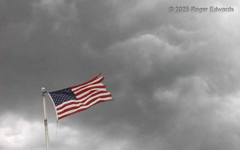
On an uncommon central High Plains storm intercept following Independence Day, the spirit of the holiday lingered in the air, as a formerly supercellular convective cluster's gust front blasted through McCook. The outflow winds under the arcus cloud both supported and battered this tattered old flag, in a case of dual symbolism for the nation at large. McCook NE (7 Jul 25) Looking NNW 40.1983, … [Read more...]
- « Previous Page
- 1
- …
- 8
- 9
- 10
- 11
- 12
- …
- 413
- Next Page »
