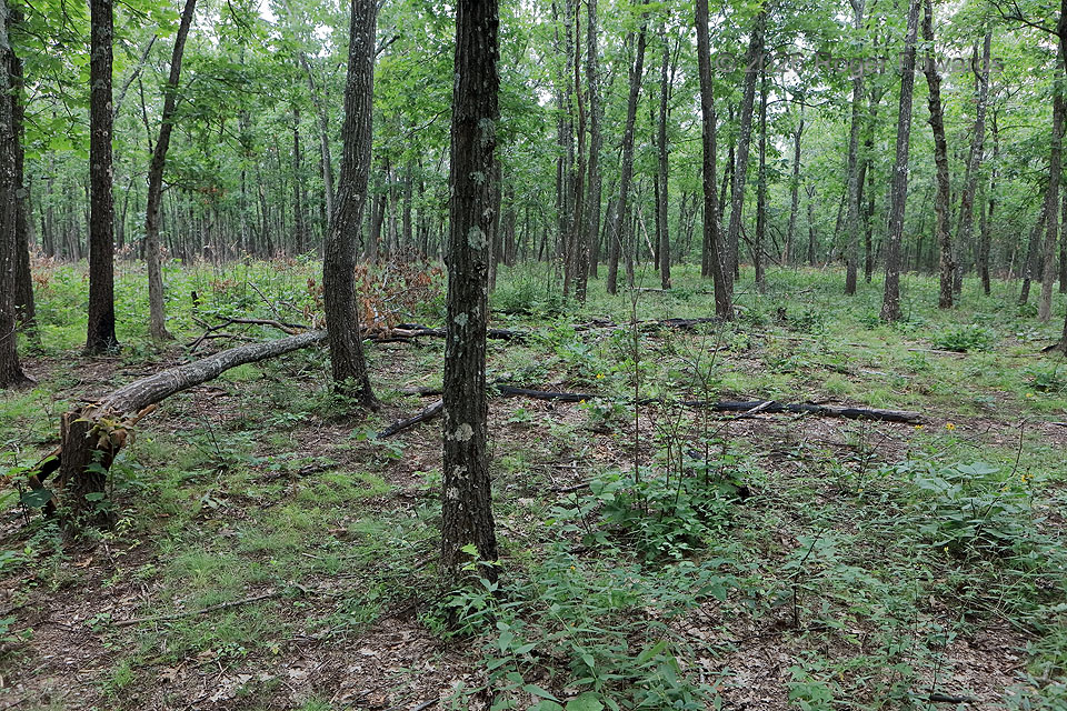
Let’s do a little forensic meteorology standing here on Missouri’s highest point, on Tom Sauk “Mountain” (in quotes since it is less than 2,000 feet). These trees obviously blew down at some point a few years ago — not so many as to rot away in this moist climate, but not so recently that fresh wood was still visible, as with another blowdown seen in New England a few years earlier. How long? Hard to say, without doing a year-by-year then day-by-day narrowing down of radar echoes that would have been favorable. We confidently can rule out 2026, and probably 2025 also. Only some trees fell — indeed, a minority. But we can say what happened here: a marginally severe and somewhat elongated downburst, which (given the direction trees fell elsewhere along the trail here) was divergent and mostly radiated outward from a diffuse central axis. The trees at distance blew leftward (SE), implying some cyclonic curvature to this part of the downburst — fairly common on the left side of the path. Trees well behind and right of this view fell more westward to southwestward. Taken together, they made a long, somewhat broom- or fan-shaped trail of trees that gives strong confidence in a traveling downburst.
5 WSW Arcadia MO (7 Aug 26) Looking S
37.5711, -90.7292