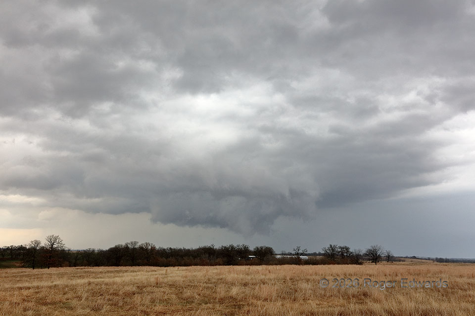
In the 1980s and part of the ’90s, a forecaster in Brownsville would add the term, “Bears watch,” to any potentially troublesome weather scenario described in a forecast discussion. While then it looked like an amusing quirk, that concern remains valid when dealing with any rotating wall cloud that has scuddy lowerings rising off the ground. In this case, motion was only very slowly rotational and somewhat more quickly upward. In real-time view, this clearly was not tornadic, but just as clearly needed to be watched more, since it was in a supercell-favoring environment with (for the time being) good updraft-precip separation and apparent rear-flank/occlusion downdraft cut around the wall cloud’s south side. [The RFD shelf cloud can be seen closer, in front of the wall cloud.] I was able to catch back up for one more mesocyclonic occlusion, but this fast-moving supercell ultimately waited to produce a tornado a few cycles later and about 80 miles away, after it had gotten away from me and into hilly, forested terrain.
4 NE Pauls Valley OK (6 Mar 26) Looking NNE
34.7857, -97.172