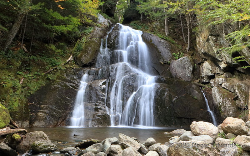
Vermont’s “other” Moss Glen Falls is not as tall as its northerly namesake, but just as beautiful in its fluid lacework tumbling down the bluff. This is one of those serene places where, on a mildly breezy day, one could spend hours lost in the sound of rushing water and deeply inhaling the occasional currents of cool, spray-moistened air. 2 N Granville VT (24 Sep 22) Looking W 44.018, -72.85 … [Read more...]
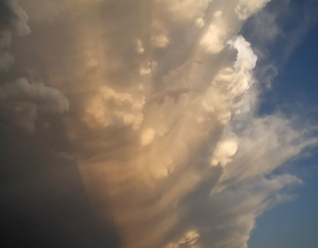
Shadows under a Busy Anvil
The front side of a "towering Texas sunset" had a remarkable rearward-directed spectacle on display too. This formerly tornadic storm continued to pump immeasurable quantities of condensate into the upper troposphere, vigorously enough to yield uncommon downshear knuckles, hybrid knuckle-mammatus formations, and (in the distance) more purely mammatus. Soon, as the moon peeked out from behind the … [Read more...]
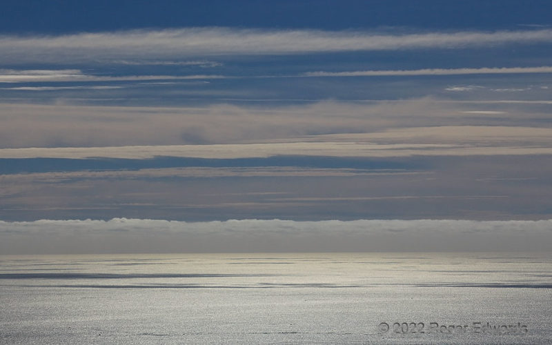
Stratification
Where does the ocean end and the atmosphere begin? From a couple thousand feet above, and perhaps even a ship's mast in some scenarios, the answer could be disorientingly ambiguous. From atop Cadillac Mountain, along the Maine coastline where the Appalachians meet the Atlantic, cloud layers transitioned from stratus to altostratus to cirrus and cirrostratus, in bands and strands including … [Read more...]
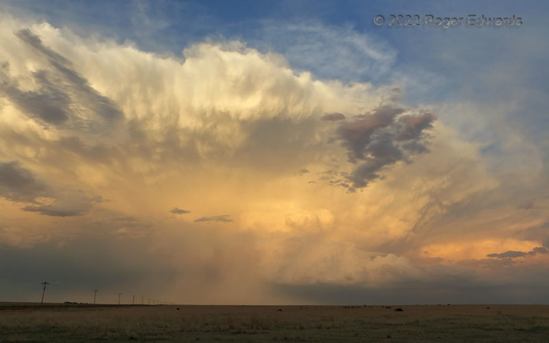
Eastern Splendor
A young, showy supercell spread across the eastern sky, basking in warm sunset glow. This storm moved quickly east-southeastward to join its even younger companion storms at distant right, in a big, wet complex that would drench a drought-parched patch of the south-central High Plains. Until the merger, this storm offered wonderment not only in its coloration, but richly textured cloud … [Read more...]
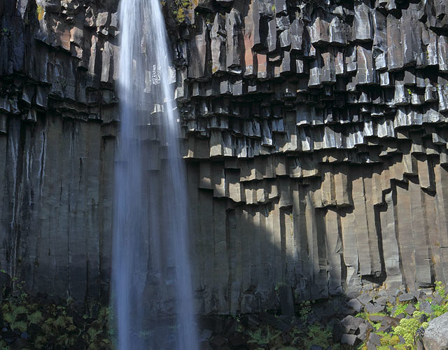
Vertical Svartifoss
One of Iceland’s many iconic waterfalls, Svartifoss might have the most peculiar framing: a natural amphitheater of vertical basalt columns, geologically arranged like organ pipes. Such mostly hexagonal columns form in cooling, contracting lava bodies not far underground. Erosion later exhumes them for us to admire, and for water, wind and ice to erode further. The world’s largest example of … [Read more...]
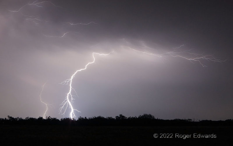
Thunder Music
Within just a few seconds, the trailing precipitation region of a growing thunderstorm complex shot forth all of this: a distant cloud-to-ground (CG) strike, a closer, intricately forked CG, and several crawler strands at varying heights and distances. All the electricity elicited a mesmerizing, almost pulsating tune of thunder for around 20 seconds -- something hauntingly close to a melody that … [Read more...]
- « Previous Page
- 1
- …
- 90
- 91
- 92
- 93
- 94
- …
- 418
- Next Page »