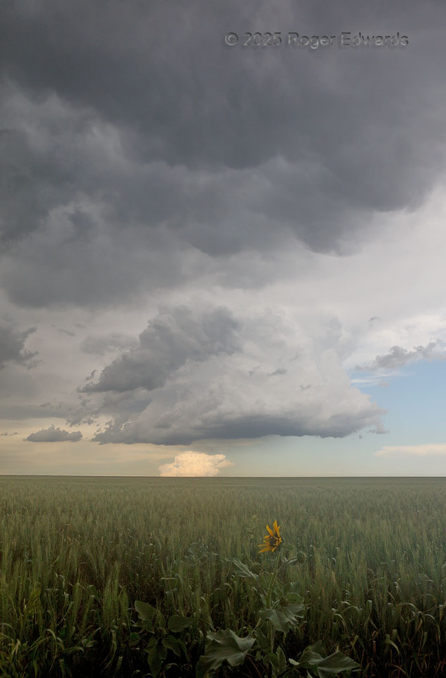
Multiple stages of storm development populate this shot. In the middle, a robust towering cumulus with congestus builds under the shadow of mature storms' collective anvil, bearing mammatus. That tower is surrounded by a smaller, shear-tilted cumulus updraft in front, and still smaller pieces of barely convective fractocumuli. Meanwhile, an even deeper tower in the distant, sunlit background … [Read more...]
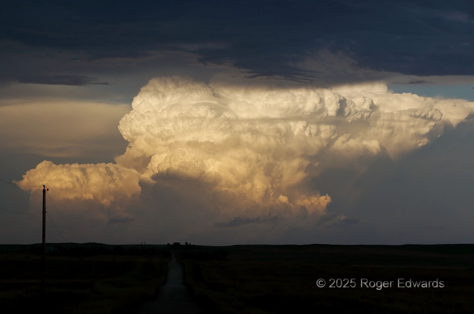
Golden Supercell
Towering deeply and brightly into the Golden Hour's sunshine, a massive young cumulonimbus just had begun rotating nicely on radar and spotlighting the sky, about 75 miles to our east. Being too late to attempt to intercept this storm on the one road that "kinda sorta" went that way from where we were, it was best left admired from a distance. It was not just stunning, but a cloud connoisseur's … [Read more...]
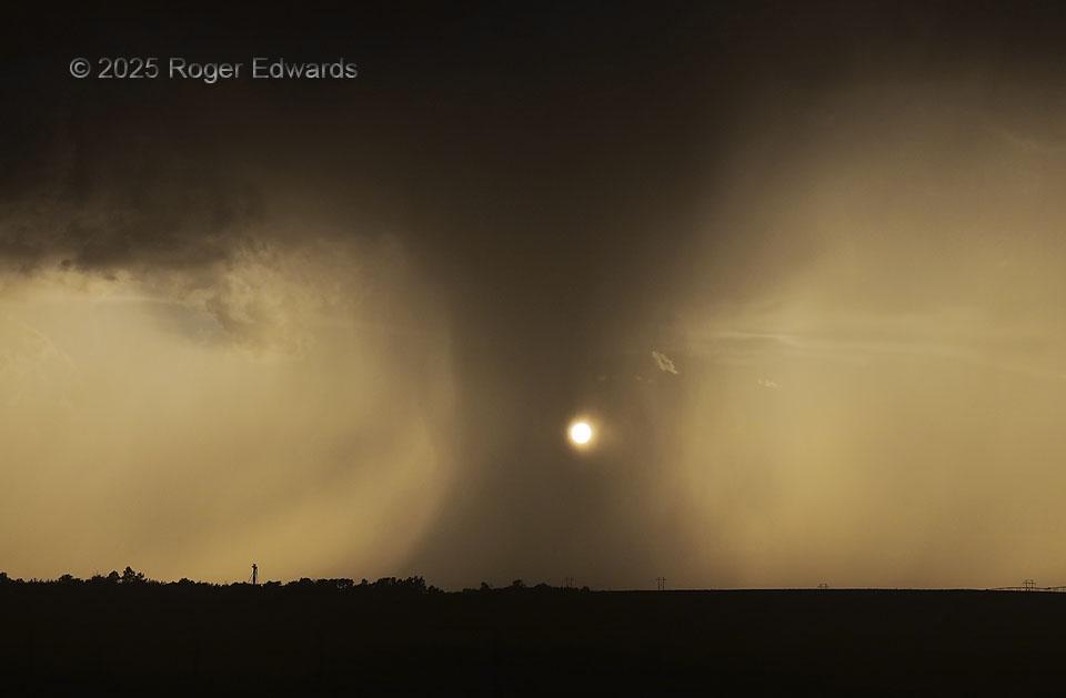
Sepia Pseudonado
Deliberately exposing for the brightest object in the view, the somewhat-muted sun, darkens the rest of the frame and accentuates the sepia tone naturally present in that part of the sky, during the golden hour. That, in turn, brought out the tall, narrow, intense core that remained from a former supercell just south of the Nebraska/South Dakota line. Unfamiliar glances might deceive one into … [Read more...]
Benkelman Blow
The clustered, complex offspring of a supercellular storm merger blasted eastward out of northeastern Colorado into southwestern Nebraska, chasing me right down U.S. 34 past here and into McCook. This action shoved east and dumped me off at the Wal-Mart there for provisions, before I secured lodging in town, then bolted back into the country for a dreamy backside sunset. Its last well-developed … [Read more...]
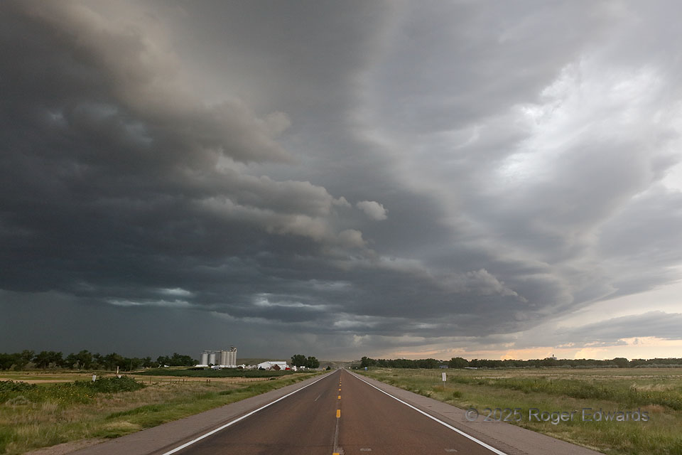
Daytime Storm Merger
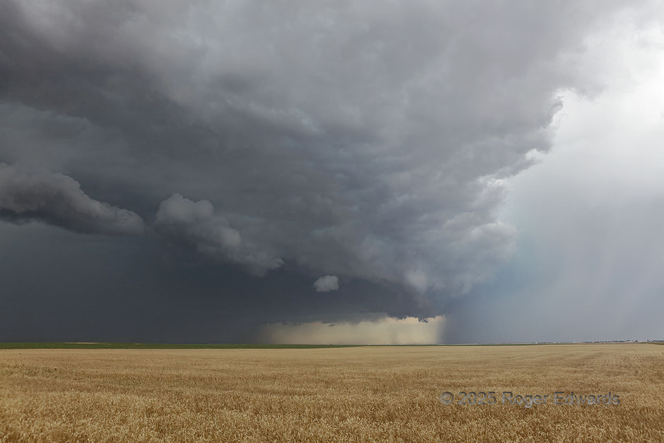
Fascinating events were happening in the sky here, with a clean Great Plains sky ensuring good visibility to see them. A left-moving supercell's rain and hail core, at right (with turquoise tint) moved toward the northeast, or near right toward far left. That storm produced hail I measured up to 1.46 inches diameter, on the ground in Otis, a few minutes later. The remains of the left mover's … [Read more...]
South Hawaii Sunset
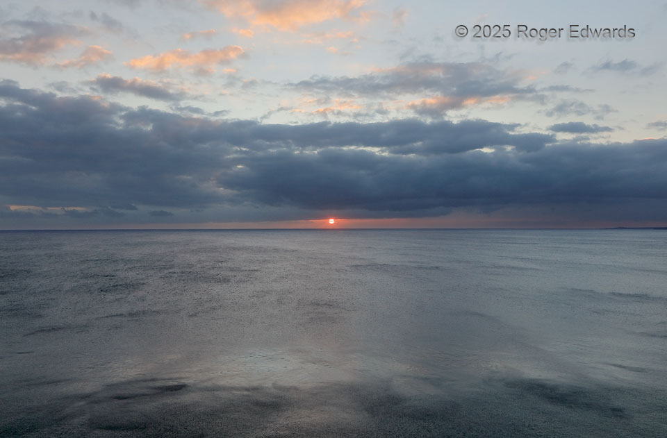
From high cliffs near South Point, Pacific waters shimmered and oscillated slowly as if thinly tarnished quicksilver, as the setting sun illuminated high cirrus. Windswept and remote, sparsely populated yet fortunately accessible, this part of Hawaii Island retains its untamed and undeveloped character. Nothing but grassland, a few occupied and abandoned buildings, and isolated, weather-beaten … [Read more...]
- « Previous Page
- 1
- …
- 7
- 8
- 9
- 10
- 11
- …
- 413
- Next Page »
