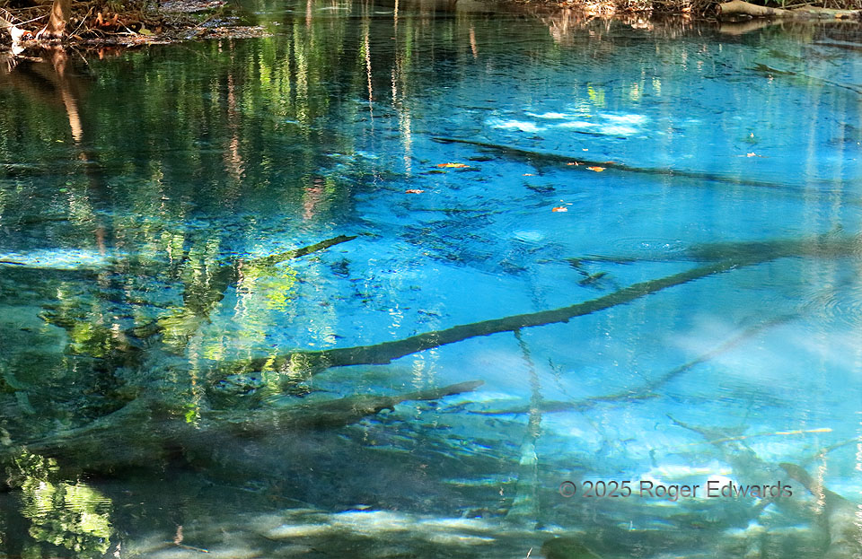
Cool, crystal-clear, pellucid waters like this aren't expected deep in a tropical jungle, but there we were, beholding this spring-fed spectacle clean enough for swimming. This pond was too small and littered with logs for that, but a larger, nearby one known as Emerald Pool is a popular place for locals and tourists alike to take a refreshing dip. 8 E Wat Khlong, Thailand (31 Jan 25) Looking … [Read more...]
Supercellular Balancing Act
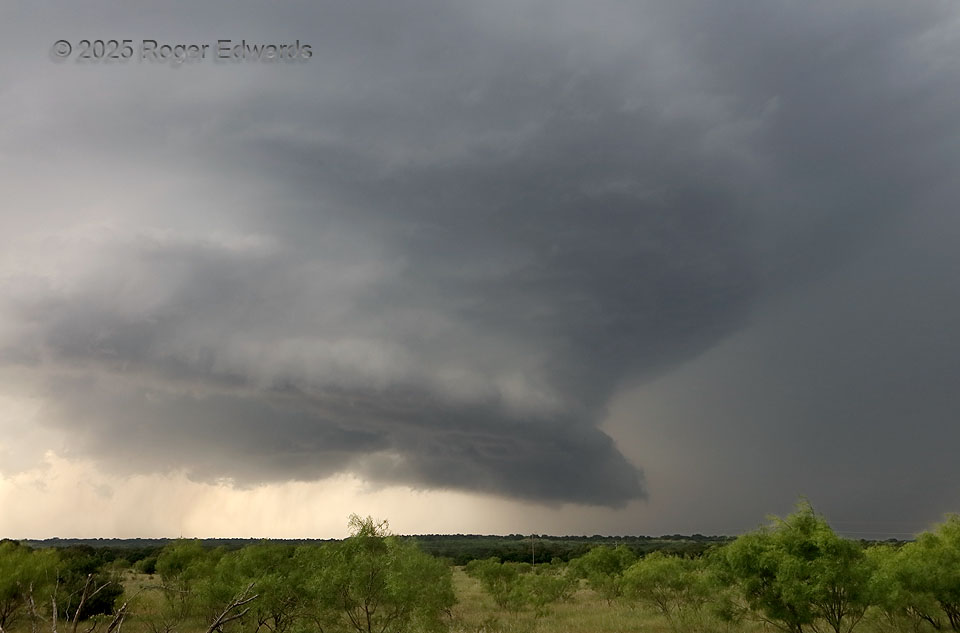
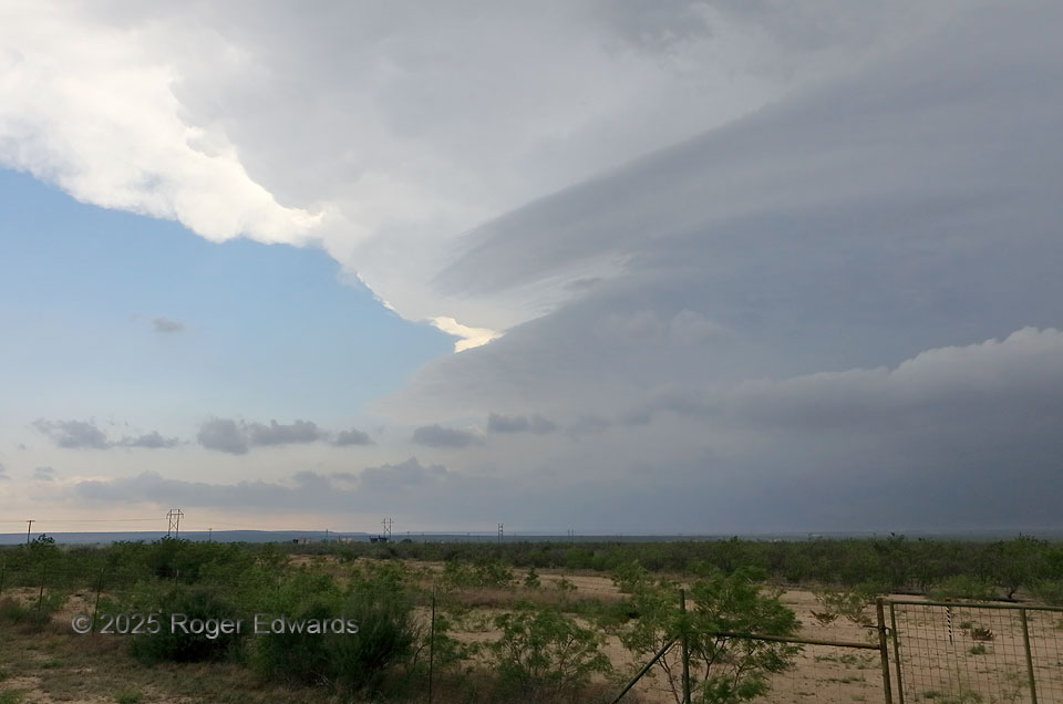
A formerly robust, somewhat high-based supercell started undercutting its own updraft with outflow, as such storms often do, to their permanent detriment. The former wall-cloud area at lower middle-right had become more of a shelf cloud, with likely just a narrow ribbon of surface-based inflow air still ingested into the updraft rearward of the visible shelf. Still, somehow, the storm fought … [Read more...]
Oklahoma Supercell and Tornado
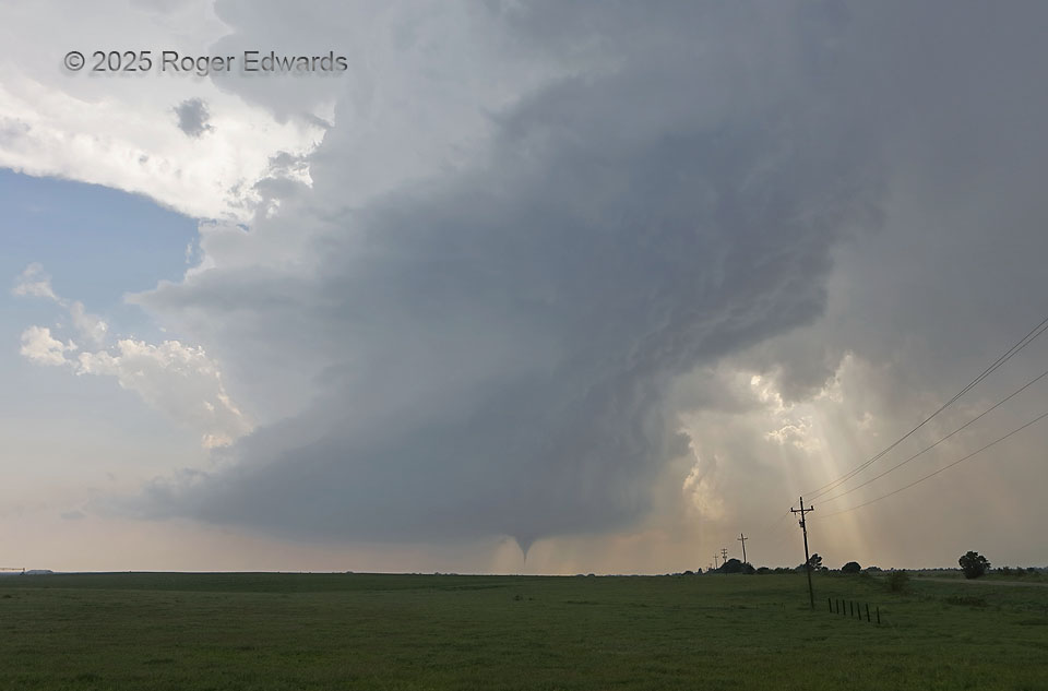
For every devoted severe-weather enthusiast, a whole-supercell tornadic scene like this is the stuff of dreams, the pinnacle of appreciative storm observing, and the reason for the thousands of miles traveled before ever beholding such a grand spectacle. Little did I know I would get another one the very next month and two states to the north. Clean, wide-angle, structure-plus-tornado views like … [Read more...]
Wellfleet Wide
Through a translucent portion of this stout supercell's main precipitation area, a substantial stovepipe tornado continued to churn up the southwestern Nebraska landscape. This wide view includes the inflow tail at left,and downshear tail cloud at right, which curved along the inner rim of the same forward-flank core that bent southeastward and just overhead. Despite the seeming robustness of … [Read more...]
Roadless Tube
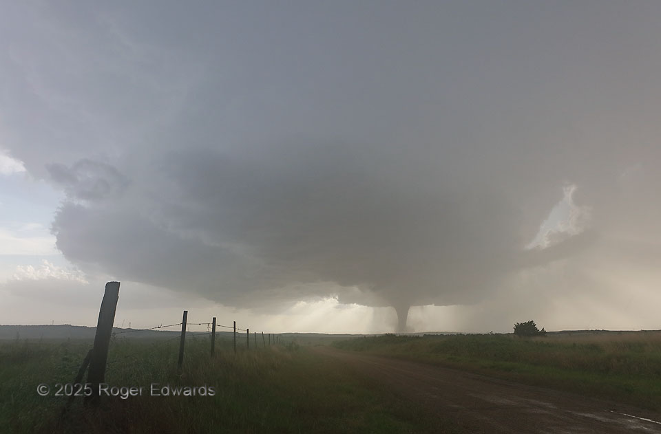
A somewhat unexpected tornado spun up in a large road void, accompanying a highly tilted, shrinking supercell that was moving over progressively colder air several miles north of a front, and hadn't done this yet. The tornado had been ragged and ill-defined for the previous couple minutes, but finally condensed a sharp tube within the broader circulation. Further search for a better vantage was … [Read more...]
Promise Risin’ over the Horizon
Not only in remembrances of this day, but many others over the decades, this image brings to mind times popping out of warm-frontal clouds, or moving over a terrain blockage, only to be greeted with this tremendous sight to the southwest: a deep, robust supercell, moving my way. Scenes like this always evoke hope, for the distance of the storm will allow a full perspective all the way to the … [Read more...]
- « Previous Page
- 1
- …
- 6
- 7
- 8
- 9
- 10
- …
- 413
- Next Page »
