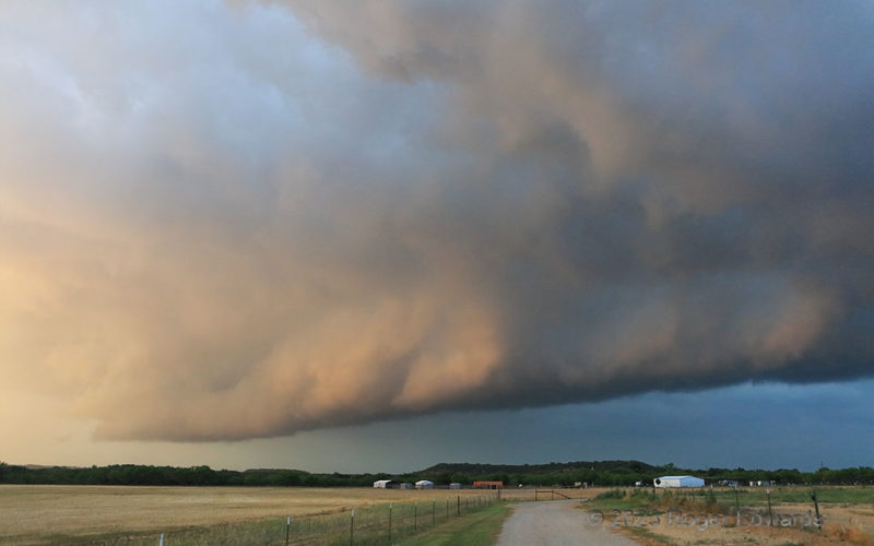
A storm evolving from a nearly tornadic supercell to an outflow-driven multicell passed over an uneven landscape transitioning from the southeastern Great Plains to the northwestern Hill Country, during the change from day to night. Right before sunset, the filtered warm rays caught the inner rim of a shelf cloud that still had convective elements, thanks to a remnant midlevel mesocyclone still … [Read more...]
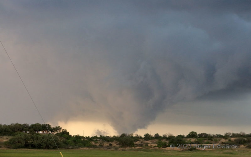
Brownwood Fooler
The year's second trek to the Edwards Plateau and Hill Country (still more to come in June) yielded a big, messy supercell that passed right over Brownwood, with baseball-sized hail and separate measured gusts of 65 and 64 knots, 13 minutes apart. While trying to stay ahead of the gnarly storm, which seemed increasingly outflow-dominant, I made a wrong turn southeast instead of east in town. … [Read more...]
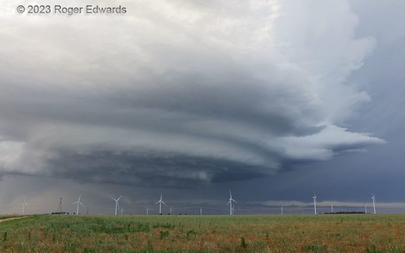
Layers of Cloud and Wind
A persistent, spectacular, nontornadic supercell spun its way from the dryline west of Hereford and over town, then past this wind farm and onward to a splendid sunset in the Tulia/Happy area. Along the way, it offered outstanding, multilayered structure like this. Our attempt to get ahead of it shortly after this shot was thwarted by a deep flood over an unpaved backroad shortcut, so we had to … [Read more...]
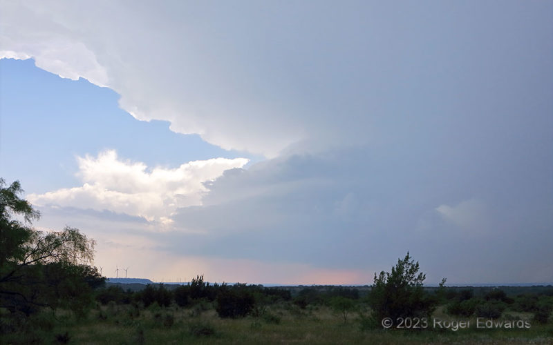
Early Brady Supercell
June 2023 was an unusual month, featuring multiple days of supercells in central Texas, well south of the climatological norm for that time of year. The moisture (and haze!) almost always is there in June, within a couple hundred miles of the Gulf—just not the strength of flow aloft. In this period, we could thank an unusually intense, northward-shifted, deep, mid/upper-level, westerly, … [Read more...]
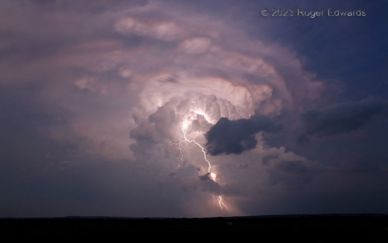
Twilight Supercell in the Hill Country
This otherworldly, beautiful twilight scene assembled for just an instant from an electrical blast from the "Mason" supercell, swirling southeastward and deeper into the Hill Country. The reflected remnants of the last western reds, glowing along a western horizon visible from storm height more than mine, painted concentric layers ringing the backsheared, mammatus-bearing upper rim. The … [Read more...]
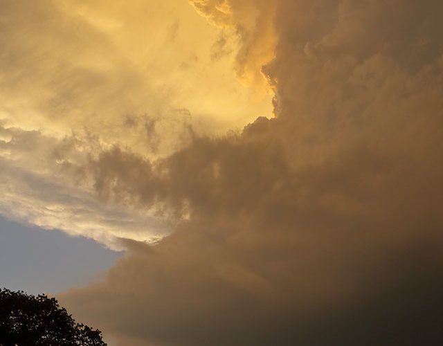
Golden Glory
A gorgeous, southeastward-moving supercell—the second of the day, following immediately behind and west of the first—took over in the "magic hour" before and during sunset, offering a memorable spectacle to storm observers gathered unusually far south for this time of year. Normally in mid-June, we would gather memories like this as experiential treasures along the grid roads of the central or … [Read more...]
- « Previous Page
- 1
- …
- 70
- 71
- 72
- 73
- 74
- …
- 425
- Next Page »