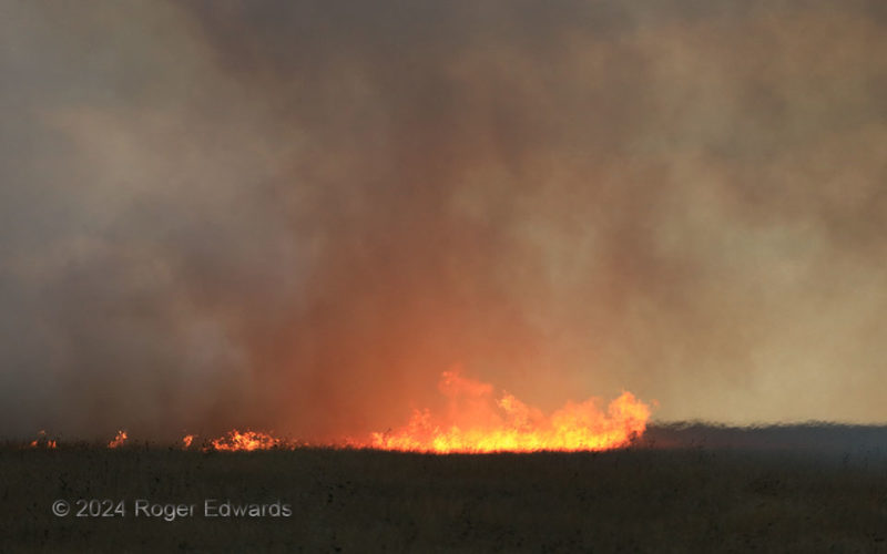
Setting up well in front of a lightning-started grass fire, and aware of the ambient winds, I knew I had a few minutes before it grew too close. This allowed time to whip out a zoom camera and shoot some close-up views of the growing inferno, its smoke and the superheated air immediately adjacent. Roiling along with temperatures of several hundred to over a thousand degrees, the superheated air … [Read more...]
Least Resistance
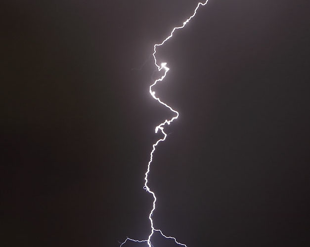
On this magical night between Tucson and Phoenix, a train of mountain-initiated thunderstorms blowing their way across the desert floor would offer numerous CG lightning flashes in astounding variety, sometimes in single-photo multiples up to seven, sometimes in cores or dust or on the immediate edge of both, sometimes profusely forked, and sometimes, as in this instance, off by itself, away from … [Read more...]
Second Conlen Cone Cruising
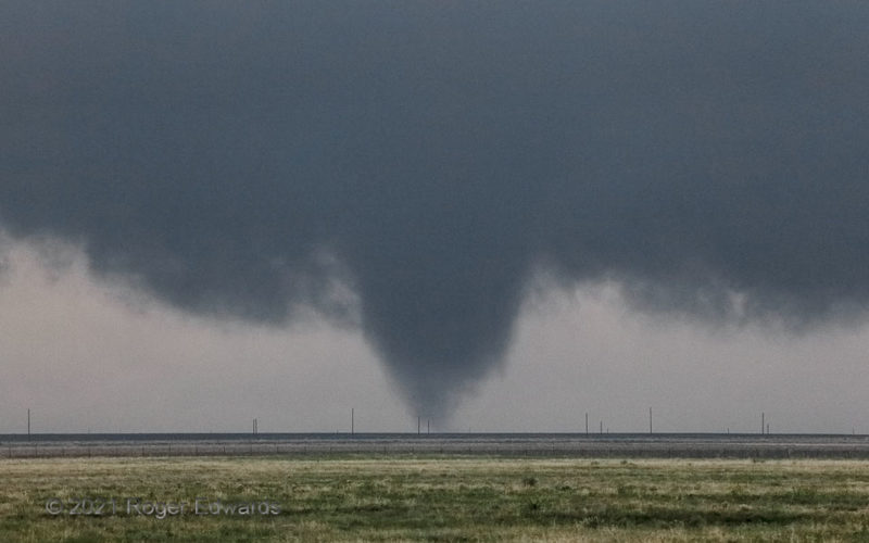
Second of three similarly conical tornadoes spawned by this warm-frontal supercell, the "Conlen-2" tornado was the longest-lasting and most visually rapidly rotating of the three. Scud raced around the top half of the visible condensation cone from a persistent inward current established on a core/updraft interface at right rear (perhaps, a streamwise-vorticity current?). Alas, no mobile-radar … [Read more...]
Fried in the Frye Fire
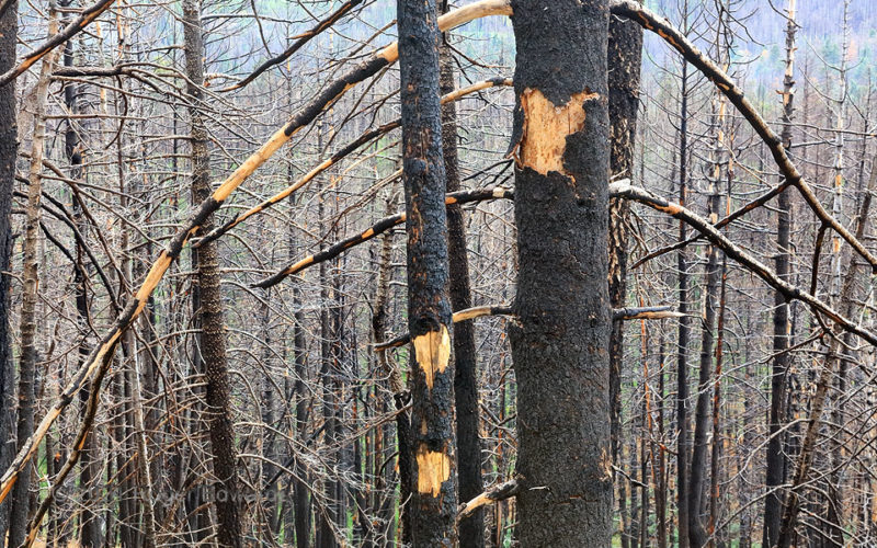
Four years after the "Fry Fire" in the Pinaleno Mountains rendered these trees as externally charred skeletons, bark was sloughing off to reveal unburned core wood beneath. Nonetheless, the fire clearly burned hot enough, long enough, to kill the living pipeline under the bark that takes water and nutrients up the trees. As this is a dry climate, with only enough winter snow to sustain a forest … [Read more...]
Sunset Dust Plume
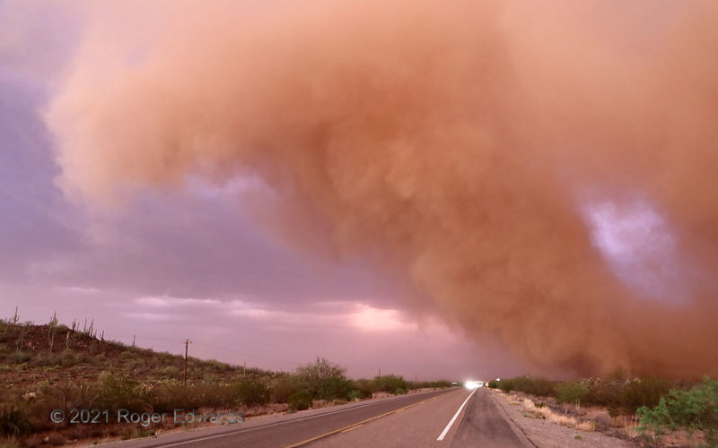
A growing, sheared-over dust plume rose and arched over the highway from its roots a minute earlier as a "Desert Dust Bomb." Its particles reddened both by internal iron oxide and the filtered sunset light, the dust cloud presented a striking and peculiar sight to motorists on this stretch of highway. It was but the frontal lobe of an extensive haboob that had dusted Tucson and vicinity densely, … [Read more...]
Close, Bright Boom
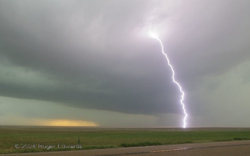
A formerly very dusty Colorado High Plains supercell and its expansive forward-flank core crept closer, losing structure but gaining electrical production. The storm already had blasted a bright one a few miles away, but with rain and small hail starting, this much closer and louder discharge would compel my exit from the spot! 6 W Cheyenne Wells CO (8 Jun 24) Looking SE 38.8126, … [Read more...]
- « Previous Page
- 1
- …
- 42
- 43
- 44
- 45
- 46
- …
- 413
- Next Page »
