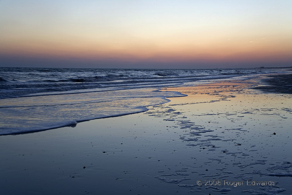
Burnscape at a beach? You bet. One of the last things a North Carolina coastal visitor expects to see is a thick pall of smoke in the sky, but there it was, silhouetted sharply by the fading twilight. Much of the state had been in a drought, creating conditions ideal for wildfires in a normally moist part of the country. During the portions of three days I spent in the Newport-Beaufort area, … [Read more...]
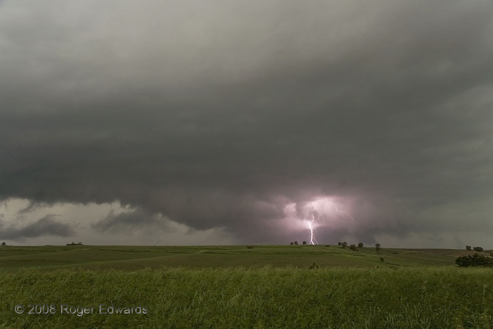
Strike from a Wall Cloud
A new mesocyclone developed on the front flank of a fast-moving, mean, nasty, heavy-precipitation supercell, then raced past us to the NW and N. For a short while, the rotating but ragged wall cloud area wasn't wrapped completely in rain yet, and this brilliant CG split the fading daylight. My satisfaction with seeing this--at least our fourth supercell of the day in western Iowa--later was … [Read more...]
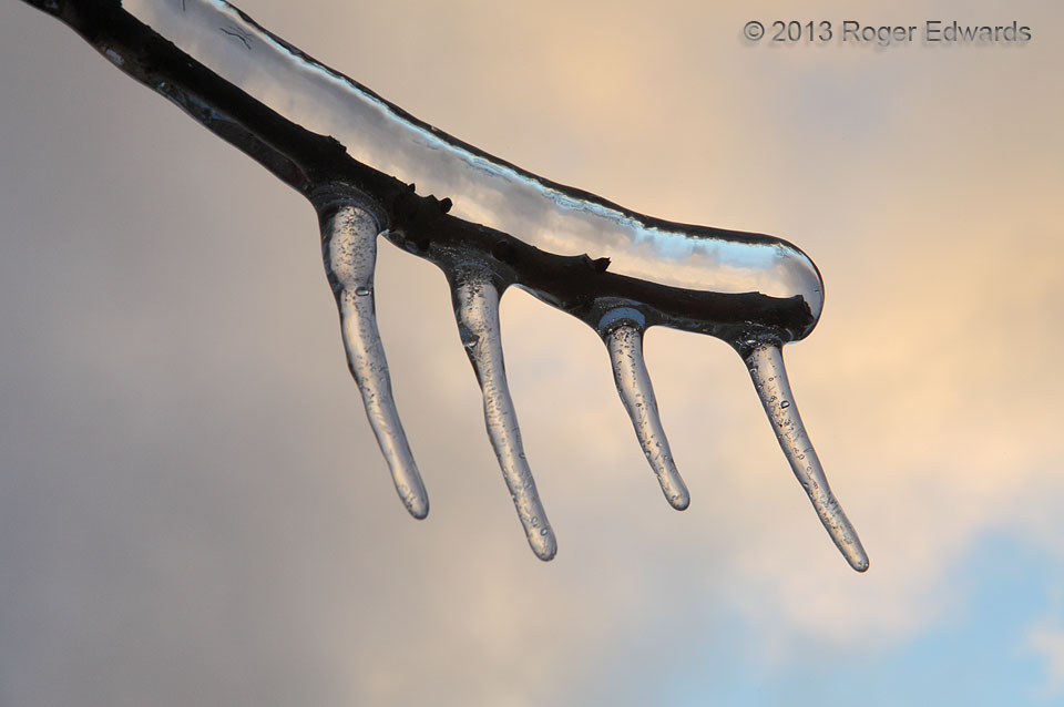
Sunset Coating
Soft pastel hues of icy, cold low clouds made a fine wintertime sunset scene, as backdrop to a comb of icicles dangling from a tree branch. Notice the inversion of the clouds' color ordering in the thickest part of the ice layer. The ice acted like a lens, refracting its distorted extension of the image upside-down, in a peculiar yet common optical effect. Norman, OK (22 Dec 13) Looking SW … [Read more...]
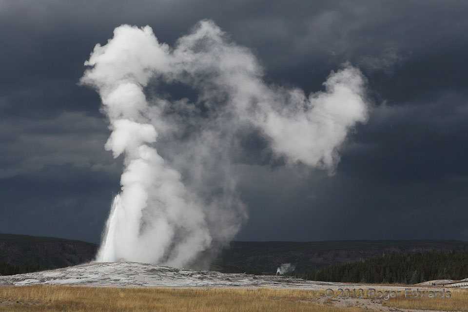
Storm and Steam
Old Faithful is one of the most commonly viewed, known and photographed geological features in the world--but not with a storm in the background! The geyser offered an eruption right as a formerly severe line of storms moved past the attraction to our north, its outflow clouds turbulent and dark, but its cold winds still a few miles away. The result was an eerie, high-contrast view of the spray … [Read more...]
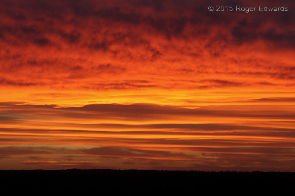
Layers of Orange and Gold
Using a long zoom lens, late in the sunset cycle and close to the horizon, can bring in the very richest of reds and yellows when color overhead has passed its peak. There's neither a need nor desire to mess with image saturation when the composition and timing make it happen for real. That's exactly how it worked to frame one of the most stunning sandwiches of cloud hues seen in a very long … [Read more...]
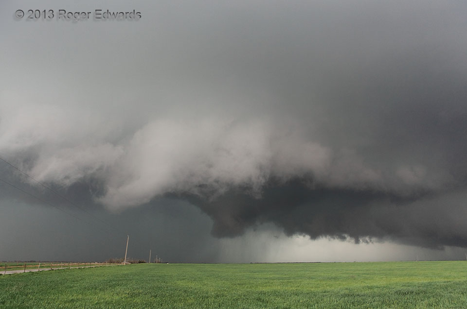
Menacing Mesocyclone
Rapid motions around a menacing wall cloud, with a pronounced lowering in the middle, compel the observer to pay very close attention. Though the lower cloud was turning, with rain curtains orbiting it, no dust or debris appeared beneath it at at this time. If the circulation was tornadic, it was only very weakly so. Meanwhile, scud tags on all sides raced around and into this formation. See … [Read more...]
- « Previous Page
- 1
- …
- 409
- 410
- 411
- 412
- 413
- …
- 425
- Next Page »