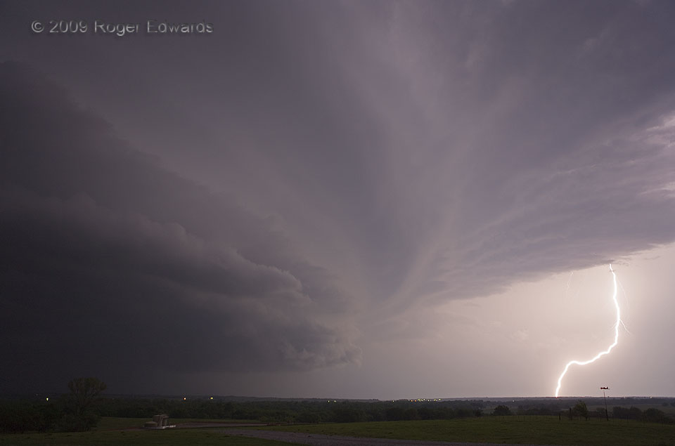
A brilliant cloud-to-ground stroke illuminated the forward-flank region of a classic nighttime supercell, just about the same time as the Anadarko tornado began to move into town, unseen to our west. In fact, being a wide-angle view, this flash was much closer than it looks; in-cloud lightning raced across the sky overhead, and the storm as a whole was closing in. We packed our gear to leave … [Read more...]
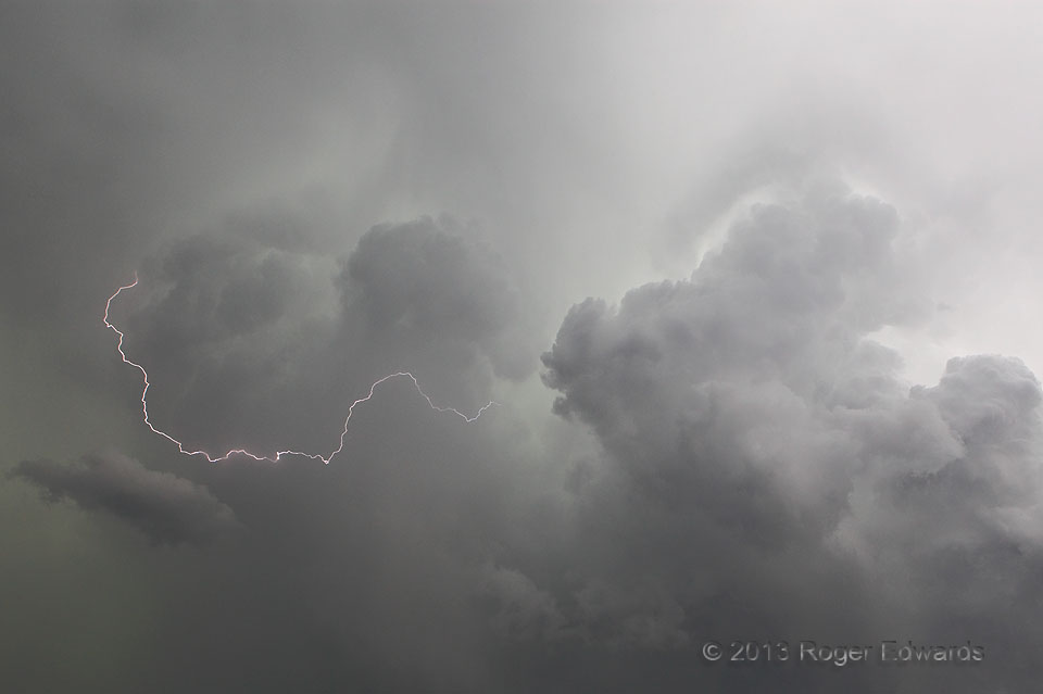
Electric Wrap
Not often do I manage to catch one of these fast little middle–upper-level lightning filaments during the daytime, without a time exposure, but I got lucky here. Convective plumes running up the back of a tail-end Charlie supercell hosted all manner of flickers and flashes, this one wrapping outside and around one tower like a sparky gift ribbon. I definitely appreciated the atmosphere's … [Read more...]
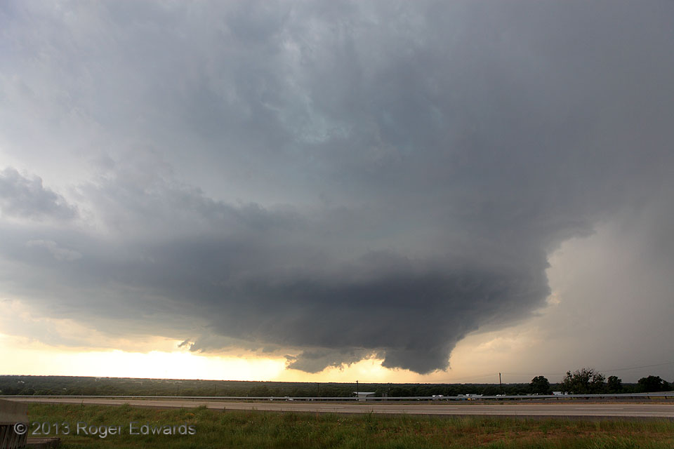
Millsap Supercell 2
The Millsap supercell organized even further, tightening its rotation at all levels while forming two wall clouds with two occlusions in rapid sequence. Here, the decayed remains of the older wall cloud can be seen in the middle, while at slightly nearer right, a bigger and lower one protrudes, soon to wrap in rain, become tornadic, and unwrap again. Looking at the big picture (literally!) the … [Read more...]
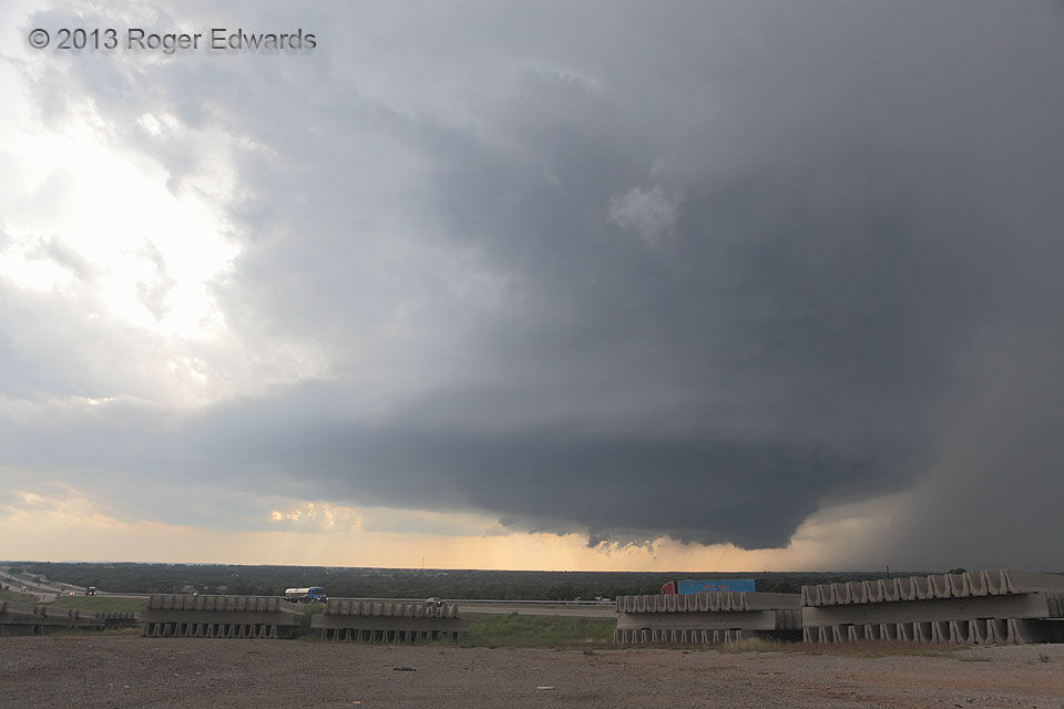
Millsap Supercell 1
A robustly structured supercell looms over one of America's main transportation arteries: Interstate 20, west of Dallas. In this area, rugged lowland terrain covered by scrub forest makes storm observing hard; a combination of high spots and openings is needed. This hilltop, conveniently coinciding with the Brock exit and a construction-zone staging area, was good in a pinch. The storm itself … [Read more...]

Sunrise Stratocumulus from Above
What had appeared from ground to be a drab, dreary, flat stratus deck underwent marvelous visual alchemy to golden cumuliform turrets, selectively bathed by virtue of height in the rising rays of the sun. How perspectives can change simply by seeing the other side... over eastern OK (3 Dec 1) Looking S … [Read more...]
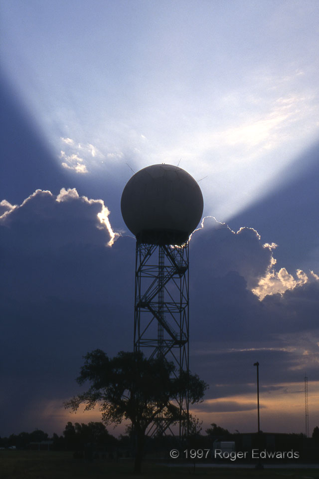
Doppler Ray-dar
In the early–mid 1990s, the National Weather Service, in word and deed, established the WSR-88D (a Doppler radar) as its own "ray of hope". This shot, therefore, would be ideal for a promotional brochure touting its marvelous powers. Actually, the radar dome located on OU's North Campus was fortuitously juxtaposed in this early-morning view, with crepuscular rays beaming through a notch in some … [Read more...]
- « Previous Page
- 1
- …
- 387
- 388
- 389
- 390
- 391
- …
- 424
- Next Page »