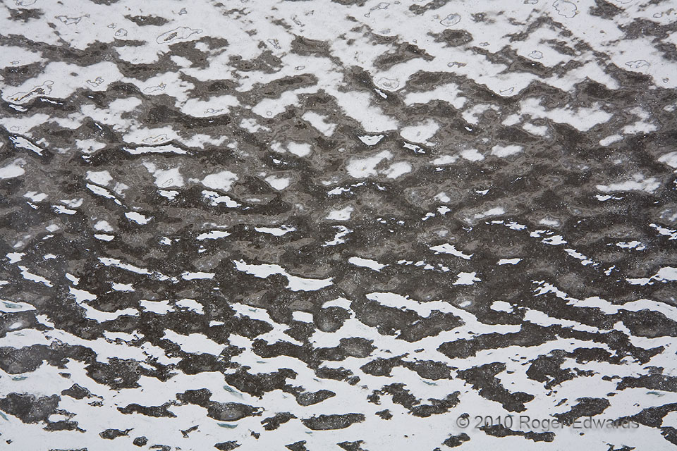
Freezing rain and wind combined to coat the north side of this outdoor window with a rippled veneer of ice, yielding a nicely abstract piece of visual art as seen from the inside. The frozen accretion belonged to a covered bus stop at the site of the National Weather Center in Norman. Norman, OK (30 Jan 10) Looking N 35.1829, -97.4393 … [Read more...]
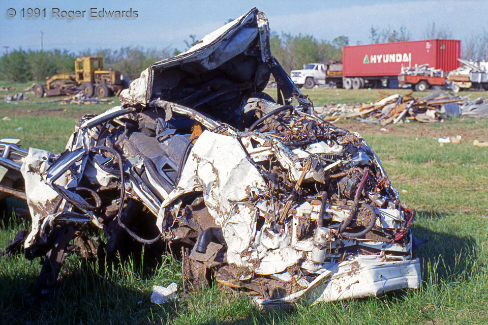
Crumpled Vehicle
This image illustrates why cars and trucks are bad places to be in tornadoes. The Andover, KS, tornado of 26 Apr 1991 mangled this vehicle—probably a van or early model SUV—beyond recognition. It was rolled, battered by debris and ripped by winds near maximum tornado force. The tornado produced F5 damage in a subdivision of large, well-built homes about a half mile SW of this location, and was … [Read more...]
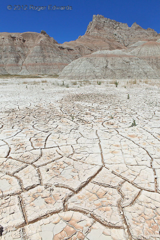
Badlands Clay Pan
Recession of high water, followed by many rainless and sunstroked days, left behind this alien landscape backed by the Badlands of South Dakota, from which the clay sediments drained to settle on this hard-baked pan. Another angle of the scene offers a smaller-scale view. 2 NE Interior SD (16 Jun 12) Looking NW 43.7518, -101.9492 … [Read more...]
Geometrically Cracked
Patterns of horizontal and vertical cracking form naturally geometric art. The sun-dried field of clay was deposited during the calming of a water-mud slurry that had cascaded from nearby erosive badlands. The smooth-sided, basically rectilinear pattern to the cracks indicates a young deposit—likely just one or two generations of drying since the creation of the sediment. Here's the broader … [Read more...]
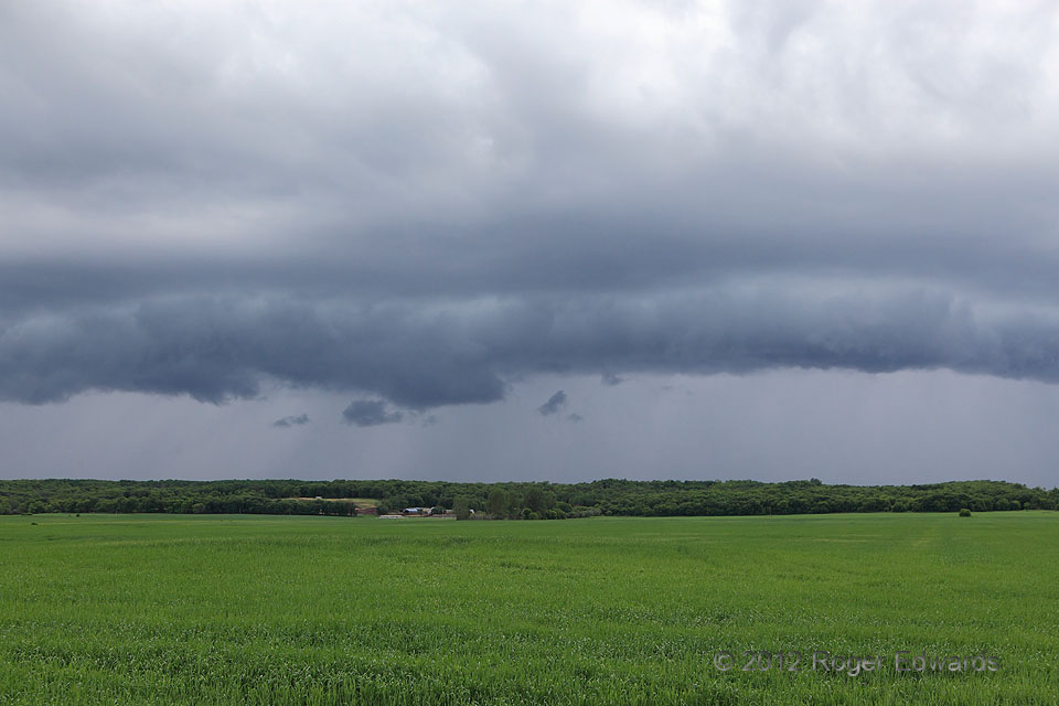
Arcus over Turtle Mountains
Behind the previous evening's supercell-laden cold front, behind post-frontal rains in the morning, and beneath a cold-core, upper-level low, just enough moisture lingered to support one more round of storms. We had penetrated the morning rain on the way westward, targeting not convection, per se, but instead a couple of days of rest and relaxation in the so-called Turtle Mountains (actually a … [Read more...]
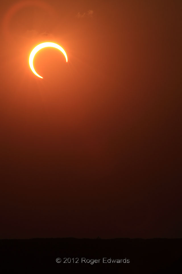
Crescent Sun
What a treat it was to be able to set up along the High Plains of the Texas-New Mexico border for the 2012 annular eclipse, the day after a great supercell and lightning show in western Oklahoma! In an annular eclipse, the moon is far enough away from Earth in its orbit that its apparent diameter is smaller than that of the sun. That imparted a nice, hooking crescent shape to the sun … [Read more...]
- « Previous Page
- 1
- …
- 378
- 379
- 380
- 381
- 382
- …
- 413
- Next Page »
