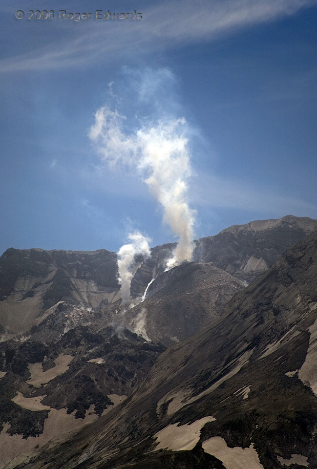
Mount Saint Helens had been spitting steam and minor quantities of ash for several months at the time of this photo, while growing a prominent lava dome in the crater left behind by the famous 1980 eruption. Melting snow, seeping through fissures in the ash and lava, supplied water for this steam column rising off the crest of the lava dome. Here, a small finger of newly airborne ash also is … [Read more...]
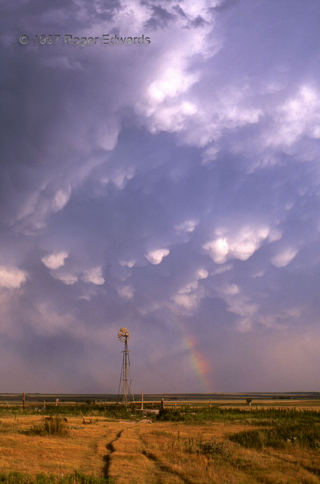
High Plains Mammatus
Rain-soaked grasslands and cumulonimbus mammatus frame a rainbow. Mammati are high level cloud formations dangling from beneath the anvil canopy of some thunderstorms, and sometimes, not caused by a thunderstorm at all. They are harmless and do not produce funnel clouds or tornadoes. Scenes like this are what make storm watching on the Great Plains so rewarding—even when there is no severe … [Read more...]
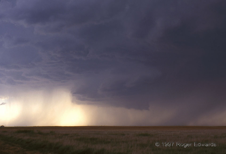
Wall Cloud in No-Man’s Land
Most wall clouds do not produce tornadoes, including this scenic Oklahoma Panhandle specimen. Every wall cloud must be closely watched and reported by spotters, though. Here, precipitation curtains can be seen wrapping around the rear (W) side; but the wall cloud only rotated slowly before being undercut by wet outflow. Without strong storm inflow winds, high-based supercells like this will … [Read more...]
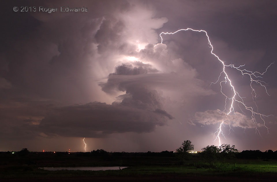
7-11 Lightning: Strike Five
Just a simple multicell storm this was, with an outsized capacity to fire high-amperage jolts for great distances in several directions! I called this the "7-11 Lightning" series because that was the date, and also because I took a really "big gulp" when seeing this awesome blast of electricity flung miles outward from the little storm that created it. Norman, OK (11 Jul 13) Looking … [Read more...]
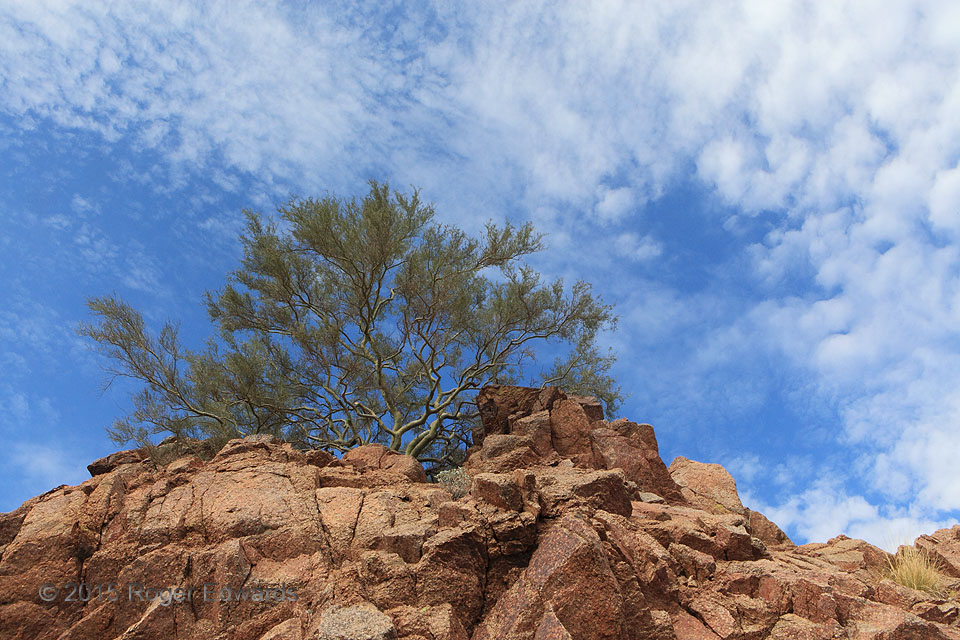
Cirrocumulus over Camelback
On a dry, cool winter day, high astride Camelback Mountain, cirrocumuli wafted over a palo verde tree growing hardily out of a soiled notch in Precambrian granite. This scene made a great excuse to sit back against a boulder, relax for a spell, and watch the sky, on the otherwise strenuous hike. Phoenix, AZ (8 Jan 15) Looking N 33.5144, -111.9605 … [Read more...]
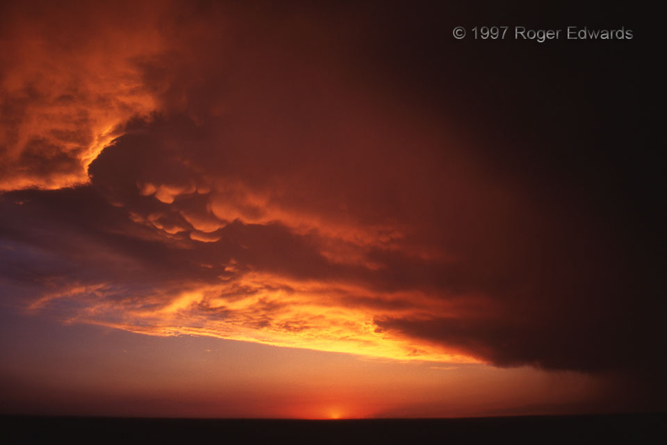
Slapout Sunset
What can be a more fulfilling finish for a long journey to, under, around and through violent thunderstorms than a fiery Great Plains sunset? This was not a high-priority "chase day" for most storm enthusiasts, being well after the peak of the season; and the few who made it out went after some messy heavy-precip (HP) severe storms 150 miles farther E along the Kansas/Oklahoma border. But when … [Read more...]
- « Previous Page
- 1
- …
- 376
- 377
- 378
- 379
- 380
- …
- 418
- Next Page »