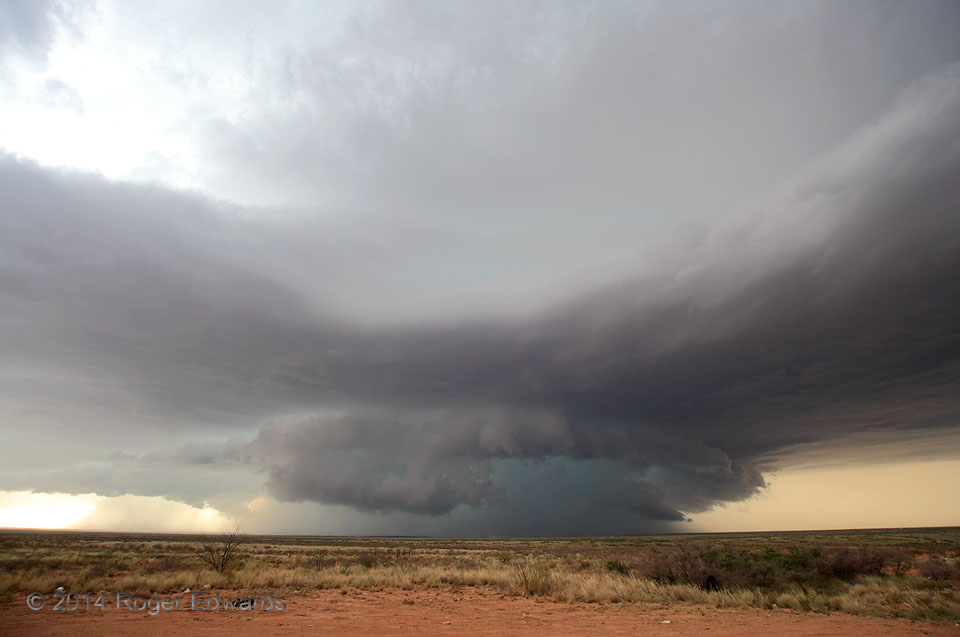
While Elke and I still were eating lunch in Roswell, this storm formed on the open desert plains north of the Capitan Mountains to our NW, then became a supercell right before it scraped across the east side of El Capitan, evolving into a dark, menacing, heavy-precipitation (HP) brute. We first intercepted the storm there and stair-stepped ahead of it steadily as it churned southeastward past … [Read more...]
Tornado and Loop Vortex
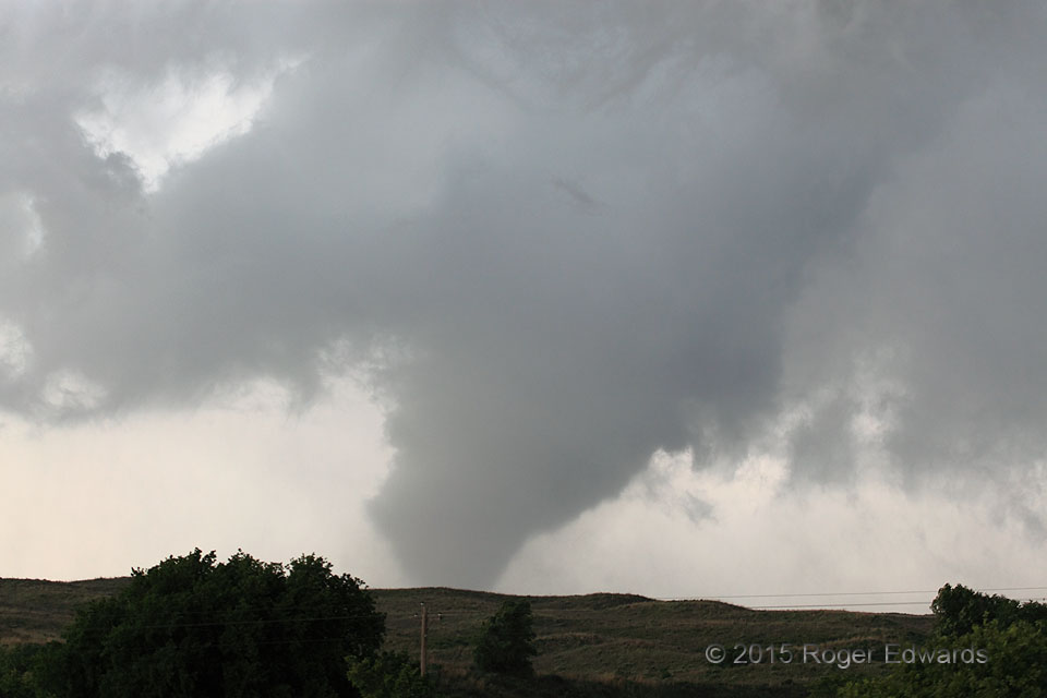
As the significant Canadian tornado slowly narrowed, two scuddy, filamentous funnels in the near upper foreground quickly formed and merged, while orbiting the main mesocyclone from left to right. Within less than 10 seconds, the feature coiled into a distorted rope and vanished. It's impossible to say if the loop vortex formed a closed toroid inside the cloud aloft, but in such a turbulent, … [Read more...]
Big, Foggy Parking Lot at Night
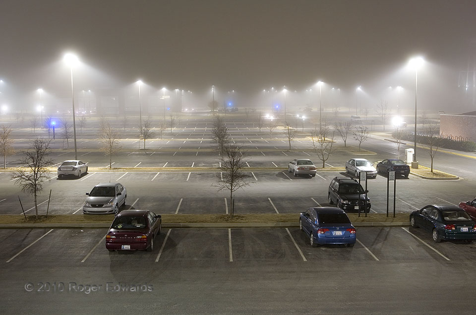
High humidity rules in the predawn hours of a cool winter night, as a blend of radiation and advection fog envelops the expansive asphalt slabs that serve automotive commuters to the National Weather Center. Norman OK (13 Feb 10) Looking E 35.1822, -97.4397 … [Read more...]
Wall Cloud and Wildflowers
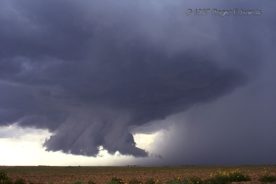
Treat yourself to mesocyclonic eye candy, courtesy of a midafternoon supercell which formed near Anton, NW of Lubbock. There's nothing quite like a wall cloud and wildflowers to complement any story of the Great Plains! Note the low-hanging tail cloud extending NNE (rightward), from the wall cloud to the top of the rain foot produced by the intense core at right. Rain-cooled air was being drawn … [Read more...]
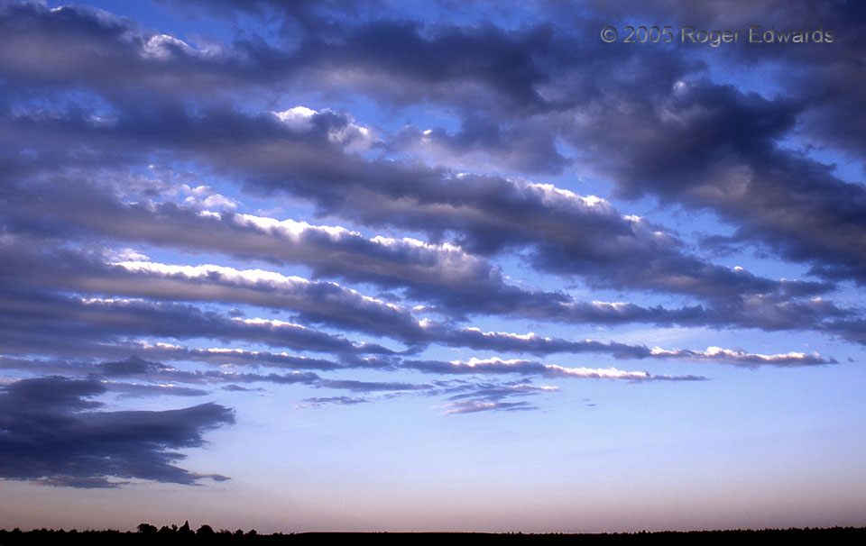
Altocumulus Undulatus
Classical undulating altocumuli sweep high above the Nebraska Panhandle. This set of undulatus was not as laminar as many, and might be considered a hybrid with castellanus because of the distinct convective elements riding atop some of the bands. Although we were on the way from a great South Dakota chase the day before to a date of destiny with some Kansas tornadoes the next day, the striking … [Read more...]
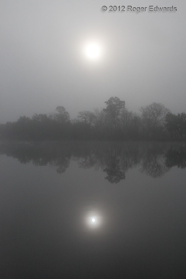
Mirroring the Foggy Sun
For this scene we can credit still waters on a cool morning, translucent fog slowly thinning in the eastern sky to broadcast the light (with corona) to the surface, and the fortuitous arrival of a most deeply grateful observer and photographer whose camera was at the ready. From the cyclonically violent to the gentle and serene, the atmosphere presents endless ways to captivate the alert and … [Read more...]
- « Previous Page
- 1
- …
- 355
- 356
- 357
- 358
- 359
- …
- 413
- Next Page »
