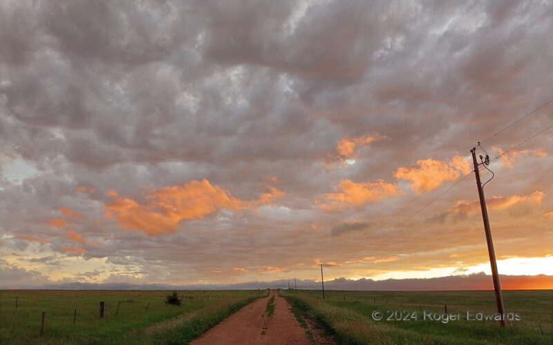
Sunset hour on the Great Plains of South Dakota had multiple magical moments packed into one sublime experience. After a glorious showing of anticrepusculars and a sepia sky toward the setting sun, the day's last rays got under a deck of altocumulus clouds trailing an thunderstorm complex, and lit up lower fractocumulus scud. The entire time, meadowlarks sang in the cool outflow breezes, and the … [Read more...]
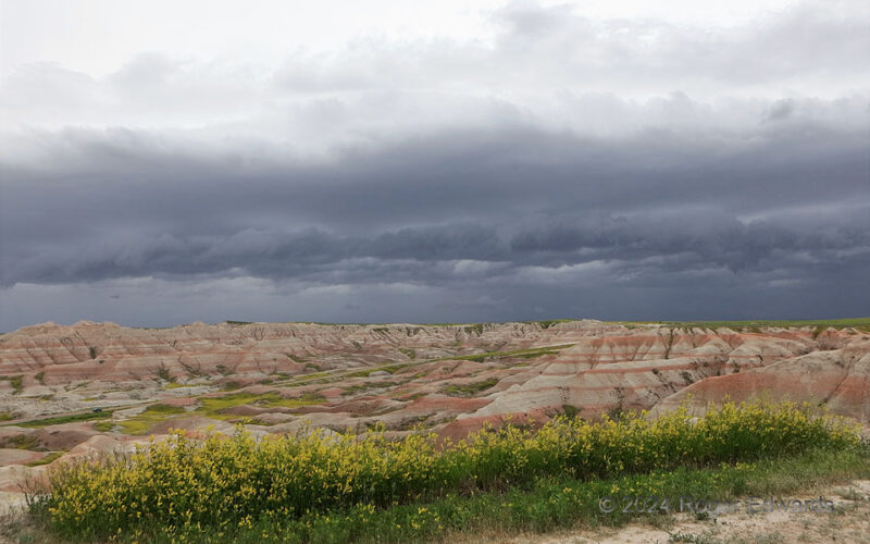
Badlands Blow ’24
While not as extremely intense as the 2020 derecho, the 2024 Badlands complex still produced severe gusts, and an array of dark cloud formations to contrast with the layered and scenic sedimentary colors of the ground here and grass range to the immediate north. Storm wind out here on the dissected High Plains is inhibited only by turbulence from interactions with the hills and gullies. It yield … [Read more...]
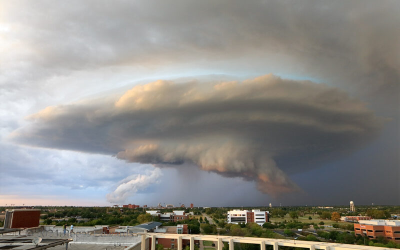
Campus Mothership
After approaching Norman from the OKC area with a stacked-plate form and the oft-fulfilled promise of severe hail, the increasingly wild-looking and more sunset-toned storm drew closer, its slowly rotating wall cloud more a product of strongly hail-cooled air from the nearby core. As it passed just north through east of campus, the main updraft region's cloud form assumed a "mothership" … [Read more...]
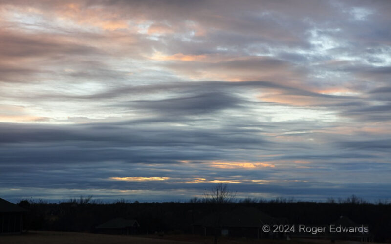
Sunset Asperatus
Even within one sort (skeletal) of a cloud type (asperatus, a.k.a. asperitas), appearances can differ monumentally from one event to another. Take, for example, this versus only slightly less dense (mode skeletal) coverage of them from a film slide shot a few miles from here at sunrise, 24 years before. The wave amplitude of these is less, but still no less beautiful, especially as a textural … [Read more...]
Wriggling through Mammatus
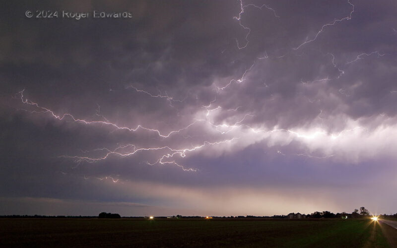
The back side of a severe thunderstorm complex, containing several embedded supercells, hummed with almost continuous in-cloud lightning for almost an hour as it retreated southward from my location, and until the supercells weakened. Sporadically, the trailing anvil-precip region would fling forth lengthy and brilliant crawler discharges, including this one through, amongst and betwixt ragged … [Read more...]
Last Rays under Hailer
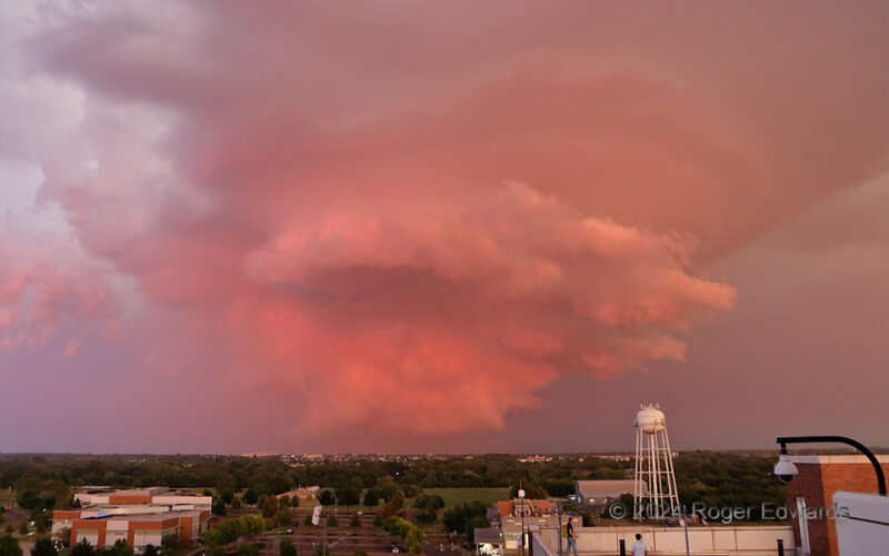
The last gasp of a stunning fall supercell saw its wall cloud and main updraft region change from golden orange to this delicious salmon hue as it shrank, wrapping hail-cooled air all the way around and into the mesocyclone. And so ended a rare, entirely on-foot storm chase up elevators and out some east-facing doors to the very same area of roof where I had photographed wonderful sunrises off … [Read more...]
- « Previous Page
- 1
- …
- 29
- 30
- 31
- 32
- 33
- …
- 413
- Next Page »
