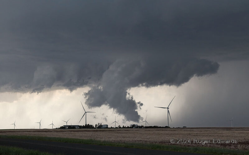
High-based and entirely nontornadic through its life cycle, a northeastern Colorado supercell nonetheless made things interesting a few times as it cycled through relatively vigorous, low-level mesocyclone phases, with low wall clouds. Rotation was slow, with much faster upward motion in each case. This was the nearest to ground of the wall clouds, when including a pronounced boot of … [Read more...]
Career Sunset, New Beginning
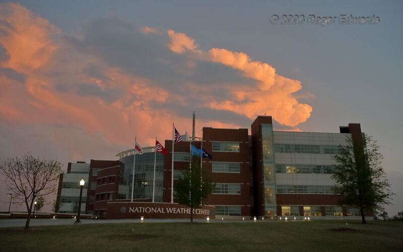
1 Jan 25 was my first day of retirement, after 35 years (minus two weeks) of continual rotating shifts as a meteorologist with the National Hurricane Center in Miami, National Severe Storms Forecast Center in Kansas City, and the Storm Prediction Center, now in the National Weather Center in Norman. Before all that, while a student at OU, I spent over four years as a part-time federal research … [Read more...]
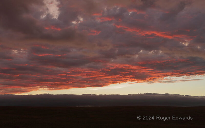
Sunset Sky over the Roll
A low-sun, post-storm, sepia sky evolved into this mottled orange-red spectacle on ragged bases of midlevel altocumulus clouds, while a roll cloud formed to the northwest, in the outflow air below. The magnificent, locally chaotic fluid flow of the atmosphere granted this observer yet another twist and turn to a glorious sunset process, and another grand sunset to close out my time on the Great … [Read more...]
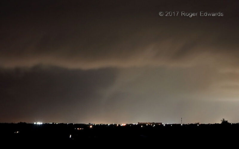
Nighttime Casino Tornado
Norman's lights illuminated the condensation funnel of a small, autumn tornado in the southwestern corner of the city. Instead of being produced by a supercell, this was a squall-line tornado, also known as a quasi-linear convective system or QLCS tornado in the acronym-thirsty meteorological parlance. It's rare to see a QLCS tornado, and even rarer to see one at night. I don't recommend folks … [Read more...]
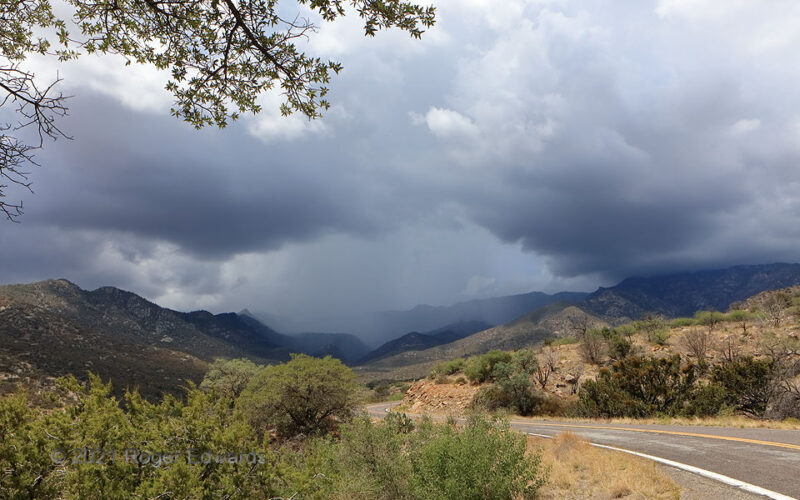
Midday Mountain Multicell
The southern Arizona sun was high in the sky, not far past solar noon and not long past summer solstice, when the Pinaleno Mountains lit up with thunderstorms. One of those became a multicell with this small but heavy core. As this was only the first week of any monsoonal convection at all for the season, the thin, rocky soil still was dry from baking behind the High Plains dryline all spring. … [Read more...]
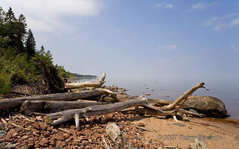
Superior Log Beach
The North Woods of Wisconsin open up suddenly at the edge of Lake Superior, where wintertime storm waves have tossed large logs onto the beach. The reddish sand and cobbles come from the Precambrian Orienta sandstone, which may be the same as the Jacobsville sandstone farther east, and building stone for many a "brownstone" house across the Rust Belt and Northeast in the late 1800s to early … [Read more...]
- « Previous Page
- 1
- …
- 27
- 28
- 29
- 30
- 31
- …
- 413
- Next Page »