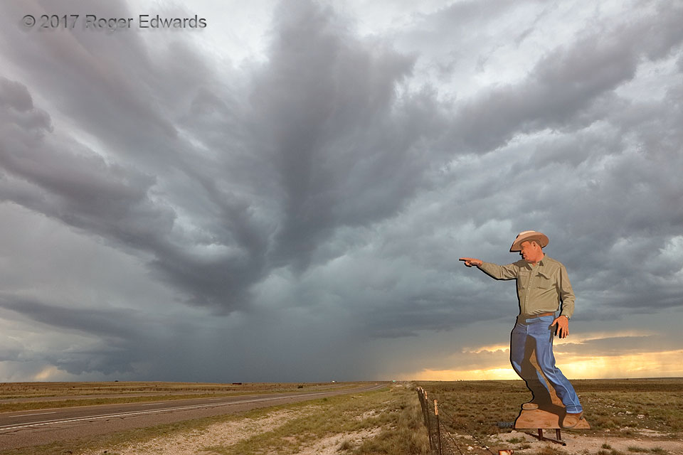
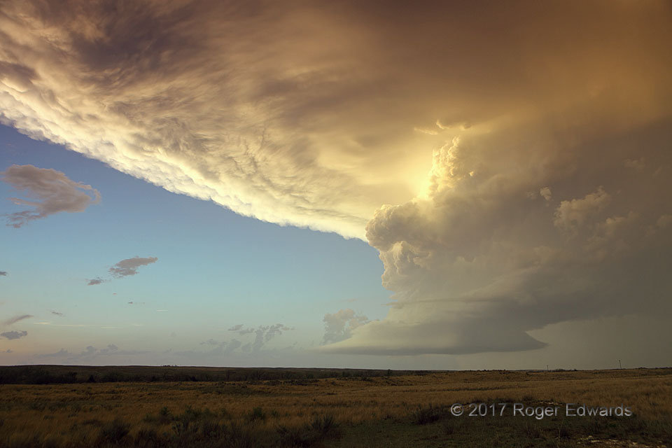
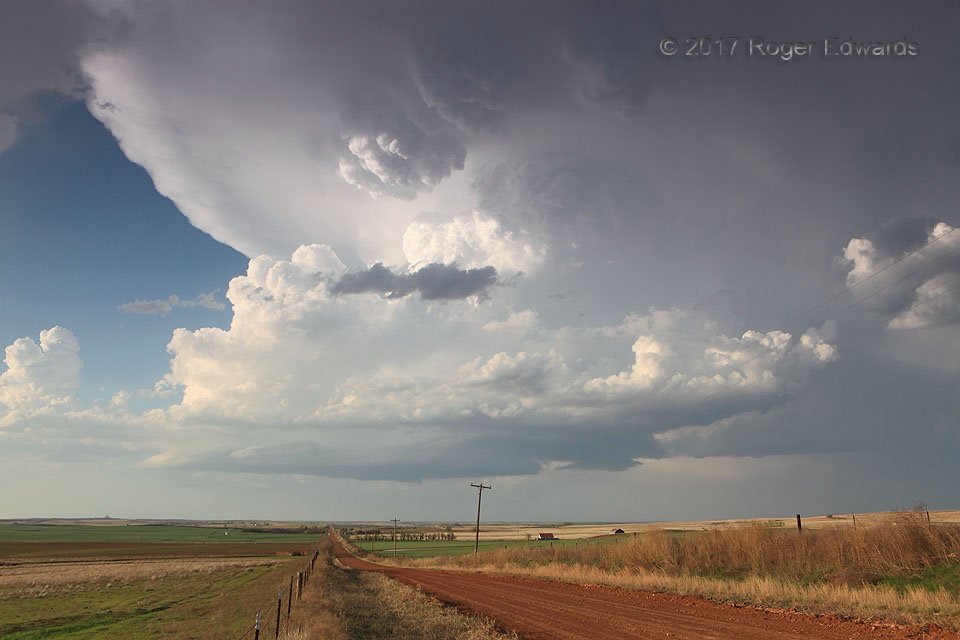
The backdrop of a supercell, with ragged wall cloud and wild, banded cloud formations overhead, offers a unique interpretation of two-dimensional art on the High Plains of eastern New Mexico. This is one of two cutout-mural cowboys at the hilltop location astride US-285, each signed and designed by artist John Cerney. 9 NNW Ramon, NM (7 Jun 17) Looking NW 34.3447, -104.9694 … [Read more...]
Radial Rise
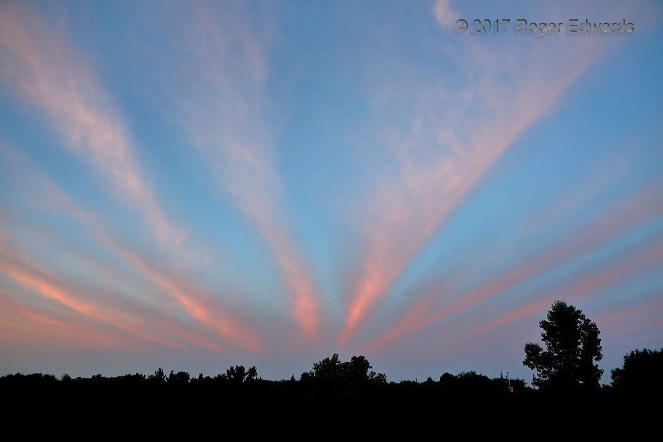
This display of cirrus radiatus was one of the most visually peculiar and symbolically striking sunrise formations I've ever witnessed, but the physical explanation is easy. Nearly evenly spaced cirrus bands, aligned south to north across the southern sky, actually were parallel to each other. As with slats in a set of vertical blinds, but more translucent, each shaded the next to its right … [Read more...]
Wave-Spray Rime on Grass
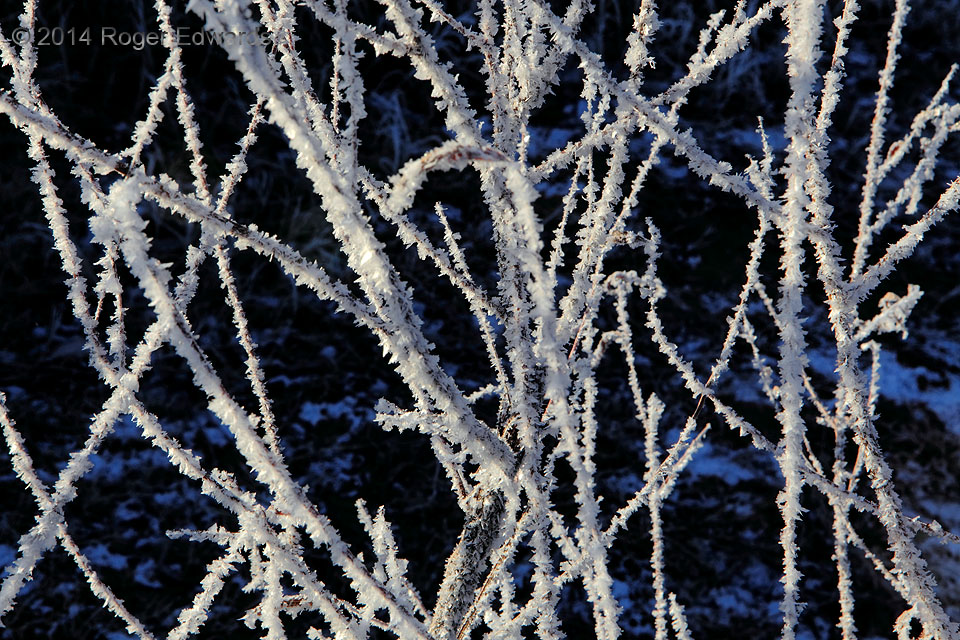
Rime often forms from freezing fog, or spray blown off of bodies of water. In this case, it was fine spray—flung several yards inland off the tops of waves crashing into Lake Thunderbird's shoreline, in bitter-cold and windy conditions. The howling norther of the day before calmed down overnight, sunrise revealing a sparkling array of crystals clinging to the blades of lakeside grass. Norman, … [Read more...]
Cryptic Sky
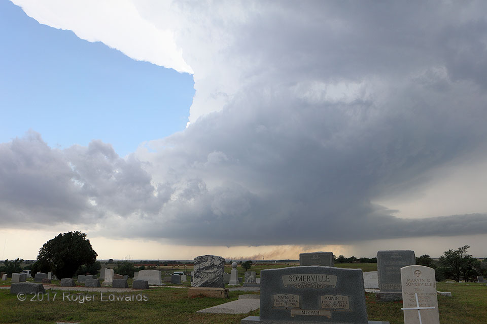
This scene encapsulates the irony of the supercell. For all of its striking beauty, it continually threatens grave consequences for those in its path: lightning (including lightning-started fires), severe wind, giant hail, and sometimes tornadoes. This supercell ultimately would produce all of the above. Conscientious storm observers want no human harm, hoping against destruction while tracking … [Read more...]
Protection Supercell at Sunset
The supercell known as "Protection", after the name of a nearby Kansas town, showed off its knuckle-dragging strength before the sunset hour. Then the storm put on a dazzling reflective light and color show, here seen from just over the Oklahoma border. With the solitude of a dirt side road, the accompaniment of moist prairie winds, meadowlarks and crickets offered the ideal surround sound for … [Read more...]
Knuckle Dragger
Growing by the minute, by means of multiple, intense updraft thrusts roaring upward from an increasingly moist source layer, this young low-precipitation (LP) supercell drifted eastward parallel to (and just north of) the Oklahoma-Kansas border. Meanwhile we observed from a pleasant distance, enjoying whole-storm structural views across the rolling, red-dirt prairie. Part of that marvelous … [Read more...]
- « Previous Page
- 1
- …
- 282
- 283
- 284
- 285
- 286
- …
- 413
- Next Page »
