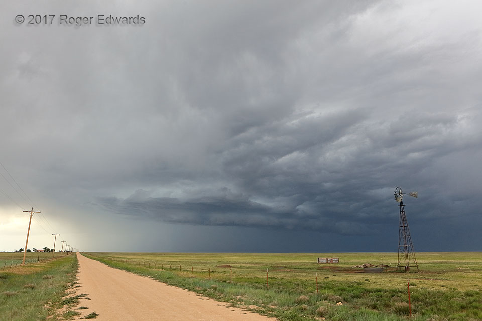
Wind and the windmills they power are the very essences of the High Plains, from West Texas and New Mexico on to Montana and beyond. Early formation of shelf clouds here spoke the language of a young storm already ready to rock, drenching a parched land with flash-flooding rains and assembling a wall of wind to shove into that of other storms to the east. Although this one spent itself on … [Read more...]
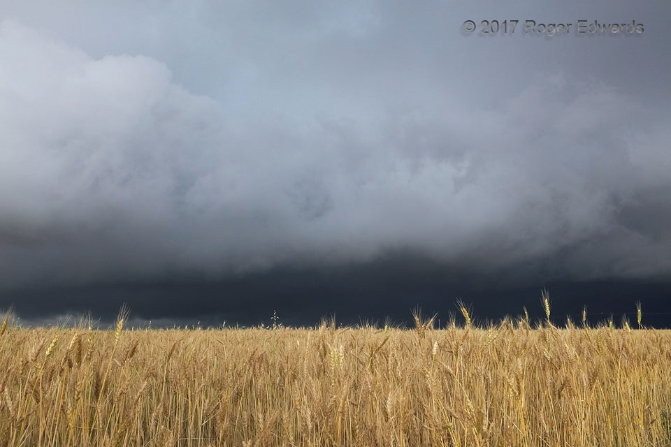
Wheat and What Destroys It
Every year, hail and thunderstorm winds do millions of dollars in damage to crops across the nation's breadbasket—much of it wheat, and much of it in supercells. Fortunately for the owners of this field, the dark, messy, heavy-precipitation (HP) supercell shown here slid just a few miles to the west and north, sparing this nearly harvest-ready crop an ill-timed demolition. However, about an hour … [Read more...]
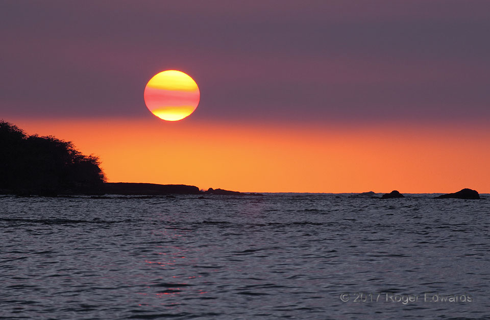
Sunset through Vog
Vog is a cheap and easy mishmash of the words volcanic and smog, and is a notorious phenomenon on the Big Island of Hawaii. The vog here comes from two active craters of Kilauea, including this one, shown producing the gases that turn to vog. When lava enters the sea (that had stopped weeks before this photo), those famous steam clouds contribute to vog also. Either way, the volcano belches … [Read more...]
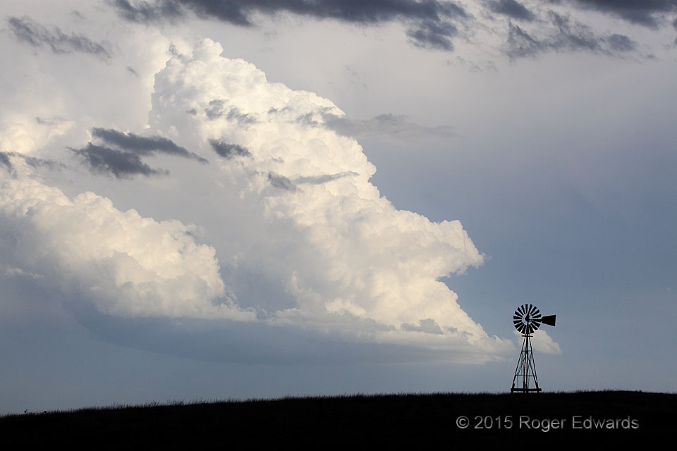
Spotlit LP on the Great Plains
While observing a closer, more precip-dense supercell from its inflow region, another storm of low-precipitation character floated past in the opposite direction that was marvelous in its own way. Double the fun! This storm plied the southwesterlies just outside the shadow of its larger neighbor for about half an hour after developing, which was just enough to catch its sunlit splendor behind … [Read more...]
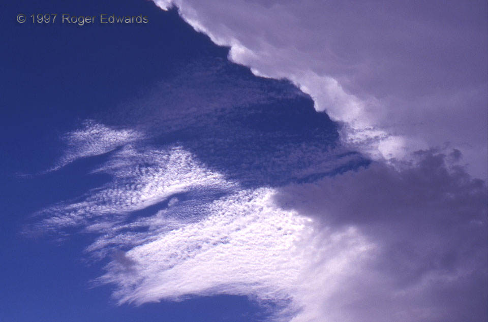
Anvil Shadowing Altocumulus
A small patch of altocumulus (Ac) is bisected by an anvil shadow from a supercell. The Ac was moving rapidly from sunlight into shadow, which was SSW-NNE. Storm observers can use cloud motions at different levels to get a rough idea about the wind shear. In this case, I could tell there was good shear from the eastward spreading of the high anvil, the SSW-NNE Ac motion, and some low … [Read more...]
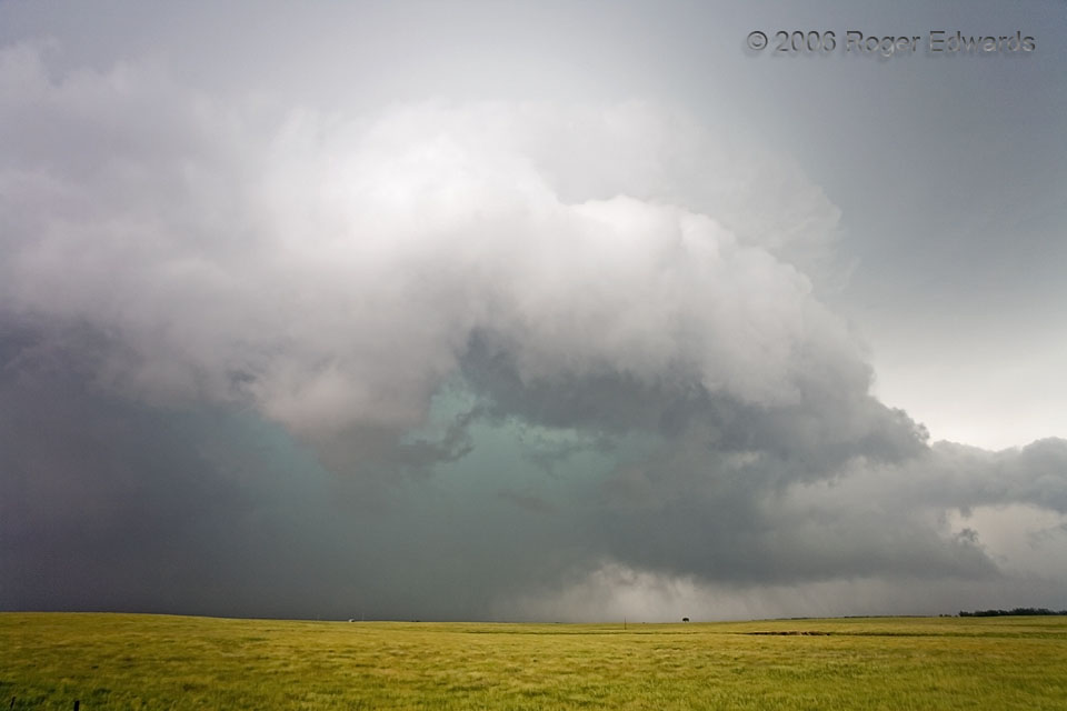
Turquoise Core
To create this effect in thunderstorms, sunlight refracts through tens of thousands of feet of rain, hail and wet convective cloud mass, filtering out reds and leaving greens and blues. The green hues preferentially exit areas of heavy precipitation with large drops and hailstones. Aside from the potentially flooding rainfall and damaging hail, this core developed inside a rapidly rotating, … [Read more...]
- « Previous Page
- 1
- …
- 280
- 281
- 282
- 283
- 284
- …
- 424
- Next Page »