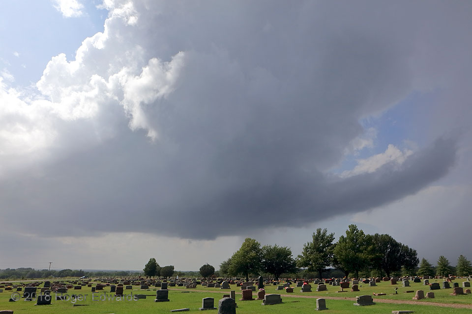
An early-afternoon supercell in central Oklahoma in late summer...why not? If the conditions are right—in this case, barely enough shear, barely enough buoyancy, and a boundary for lift—the atmosphere can do this, without regard for the calendar. This was one of several supercells in the area on this day, and perhaps my shortest and most unusual storm chase logistically: in mid-August, just … [Read more...]
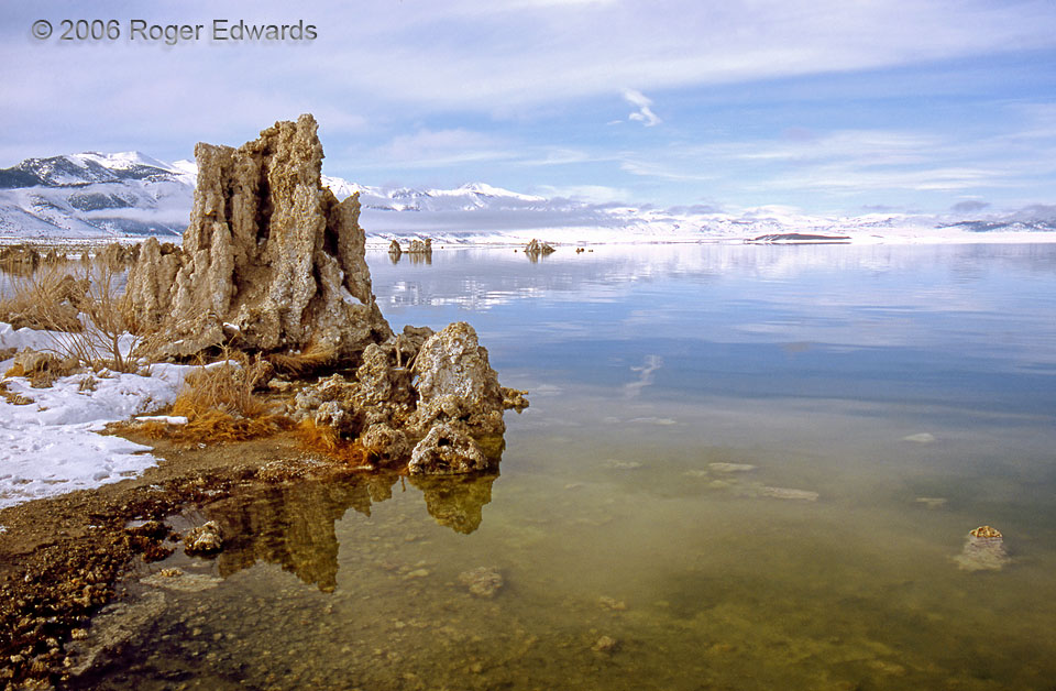
All the Phases
Water works wondrous ways in wintertime, especially at a place like Mono Lake that often features all three phases of its existence on earth, at once. We see the forms of solid ice crystals in the snow and the salt-infused lake liquid, and understand the presence of vapor through condensed cloud material. Different densities of fluid water exist here too, in the form of warm mineral springs on … [Read more...]
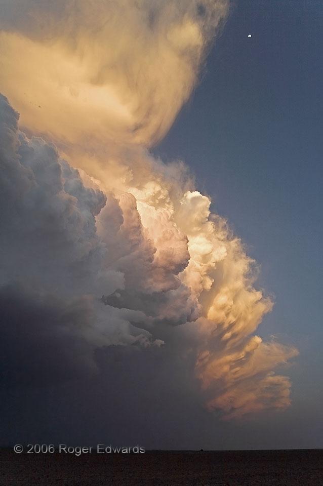
Sunset Storm and Moon
Capturing not only the intensity and hue of a sky, but doing so across its breadth and scope, just isn't possible with even the best of cameras. Hence, the true sensory volume of the colorful High Plains sunset experience can't be done due justice, except in person. Of course, having a super wide angle lens can help! Here, the moon was almost directly overhead. The sun set just moments before, … [Read more...]
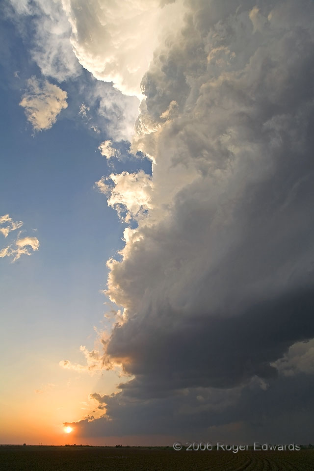
Towering Texas Sunset
After gracing the southernmost Great Plains skies with great storm structure and even a rain-wrapped, cigar-shaped tornado, the "Patricia" supercell bathed its southwest flank in the warming glows of the setting sun. Meanwhile, the opposite part of the supercell, 180 degrees behind this view, streamed complex textures and colors for many miles downshear, followed by less texture but more … [Read more...]
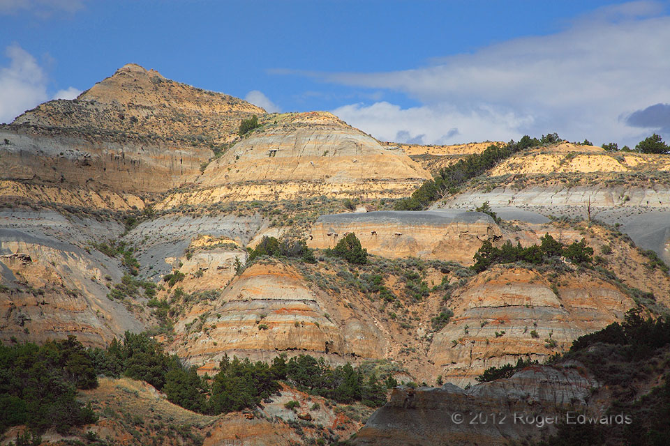
Badland Hills Spotlit
Spotlighting is one of my very favorite natural lighting effects, whether on land or water. Here in the less-trodden North Unit of Theodore Roosevelt National Park, layers of badlands geology are laid bare for inspection and admiration in the late-day sunshine, marvelously and warmly illuminated. Many thousands of years of erosion by wind and water—mostly water in the forms of direct … [Read more...]
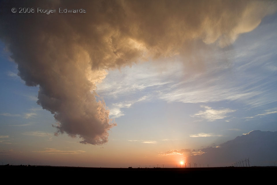
Old Storm Bronzed
Knowing the scale of a cloud formation makes every bit of difference in understanding it. A couple of people who aren't meteorologists asked me if this was a funnel cloud, which of course it wasn't. Instead, it was the dying updraft column of an entire thunderstorm—and not just any thunderstorm, but this supercell that had not produced a tornado. As the afternoon faded, the boundary layer … [Read more...]
- « Previous Page
- 1
- …
- 263
- 264
- 265
- 266
- 267
- …
- 425
- Next Page »