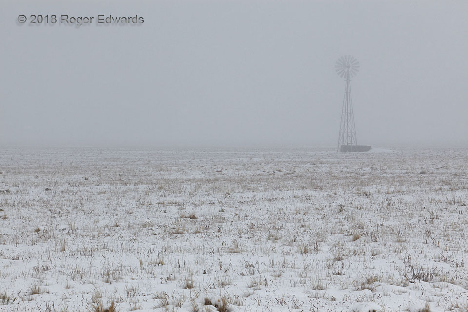
Winter's first snows fell this fall day across the floor of the valley known as South Park, while autumnal colors still festooned the surrounding mountains. All of that was reduced by low visibility here, in fog and variably dense snowfall, to a bleakly evocative view of nearby shortgrass prairie whose growing season had expired, punctuated only by a single windmill. Even though this is a flat … [Read more...]
Yuma Hues
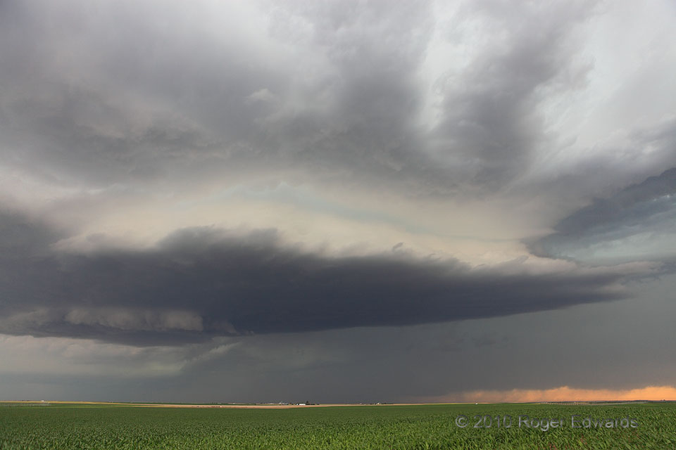
Ghostly luminescence in tones of cream to turquoise surrounded the structural waistline of this low-precipitation (LP) supercell, as the storm drifted eastward beneath the anvil of a much bigger, better-organized, heavy-precipitation (HP) supercell that was barrelling in from the west. This unusual sky wouldn't last long. Both storms proceeded eastward across Yuma County, before this hauntingly … [Read more...]

Sunset Scud Scene
Evocatively moody scenes can be had simply by sampling a small subset of sunset sky through the deep zoom. On an anomalously moist evening in the high country, patches of scud (fractocumulus) drifted in and out of shadows of other clouds, not far above the silhouetted surface of the San Juan Mountains' northern foothills. 5 SSW Ridgway CO (4 Oct 18) Looking W 38.0898, -107.7858 … [Read more...]
Path to the Sky
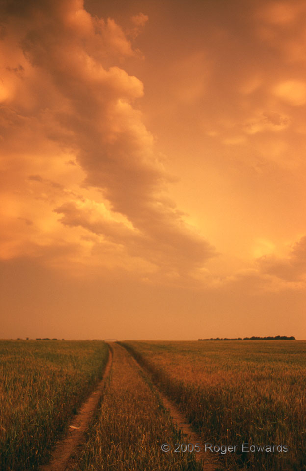
Sunset's warming hues cast aglow a splendidly unsettled, chaotic, richly textured Great Plains sky following a complex of storms. The cut-wheat path seems to climb there, beneath the altocumulus band and higher mammatus field. Despite being known as a "cool-color film", I'd say Provia rendered this one well, in my last full year of slide shooting. 3 WSW Lockett TX (13 May 5) Looking … [Read more...]
Beyond 190 Miles
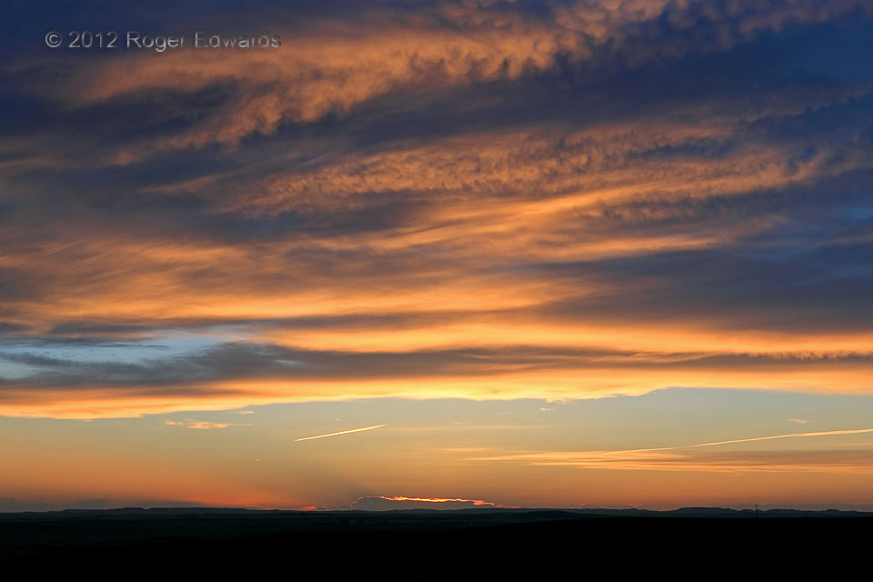
Multiple areas became apparent on the morning forecast charts for supercell potential: one close to our southeastern Wyoming starting point, one far, and one very far. After very little happened at the closest (southwestern South Dakota), and nothing at the far (northwestern South Dakota), it was too late to get to the very far (east-central to northeastern Montana). Instead we eased our pace, … [Read more...]
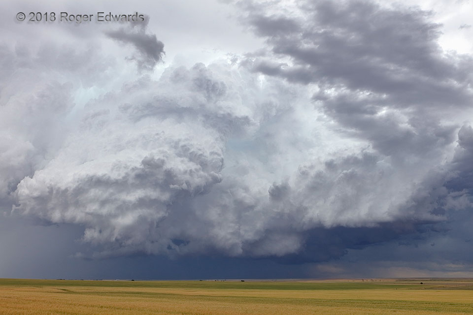
Cauliflower Towers
Even in its weakening, post-tornado stages, surrounded by other growing convection that soon would absorb it, the Prospect Valley supercell offered one final moment of convective glory with this display of massive, rotating and sharply defined storm towers. After the tornadic mesocyclone weakened, the one to its east rotated nicely but didn't produce, its low levels eroding at left even as the … [Read more...]
- « Previous Page
- 1
- …
- 248
- 249
- 250
- 251
- 252
- …
- 425
- Next Page »