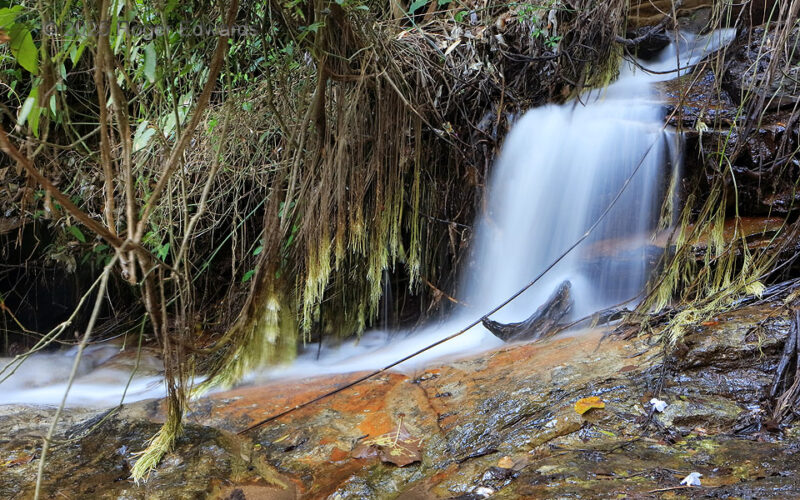
This is one of several parts of Pha Lat Falls, tumbling over Mississippian-age granite below the 5,499-ft crest of the "Doi Suthep" mountain. The granite was uplifted to the surface, and the forested mountain formed, by southeast fringes of the Himalayan orogeny. Just west of Chiang Mai, the mountain also hosts a famous pilgrimage temple of the same name, though this is much closer to the Pha Lat … [Read more...]
Feast of Flanks
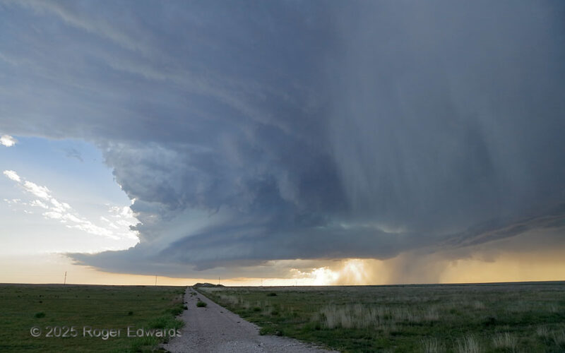
This beautiful supercell peeled off the southern Sangre de Cristos near Springer, as many do in late spring. The storm spun itself southeastward across northeastern New Mexico for over two hours before I even got on it, since I was occupied with another, messier storm near Clayton. When the first storm died, this one was racked up right behind and to the west, making an easy intercept. Not a … [Read more...]
Polluted Bangkok Sunset
An otherwise modest sunset, amid thin cirrus, was made remarkable by the power of pollution: a dense boundary-layer haze common to Bangkok in the dry (winter) season. During this time of year, this massive city gets little rain, with the intertropical convergence zone (ITCZ) largely occupying the Southern Hemispheric tropics. When not flushed by remnant post-frontal gradient winds coming from … [Read more...]
Windy, Wet Blast
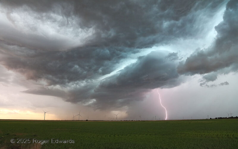
The "blast" part of the title can represent either the CG at right, or the sudden onset of cold wind soon after this shot. A long-lived, fast-moving, highly electrified supercell that started over east Amarillo, ended here, where it gusted out and merged with a larger, growing thunderstorm cluster. In the process, its "whale's mouth" shelf-cloud region contorted into a fascinatingly layered … [Read more...]
Benchakitti Reflective
A nice array of skyscraper designs lines the reflective light path across the main lake of Bangkok's Benchakitti Park. In an urban area with miles of high-rises in every direction, where their number may top a thousand, the cityscape as a whole presents as a chaotic and disorganized melange of architectural randomness, having no identity whatsoever. Within the massive mess of the whole, it's … [Read more...]
LP Supercell and Tornado
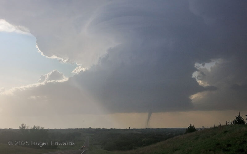
Uncommonly yet spectacularly, a marvelously formed, low-precipitation (LP) supercell spun up a tornado, and one at least temporarily fully condensed from ground to cloud. This was one of two distinct tornadoes the storm produced from the same cloud-base circulation, which according to closer observers and the NWS survey, temporarily disconnected from apparent ground contact for a few minutes … [Read more...]
- « Previous Page
- 1
- …
- 23
- 24
- 25
- 26
- 27
- …
- 413
- Next Page »


