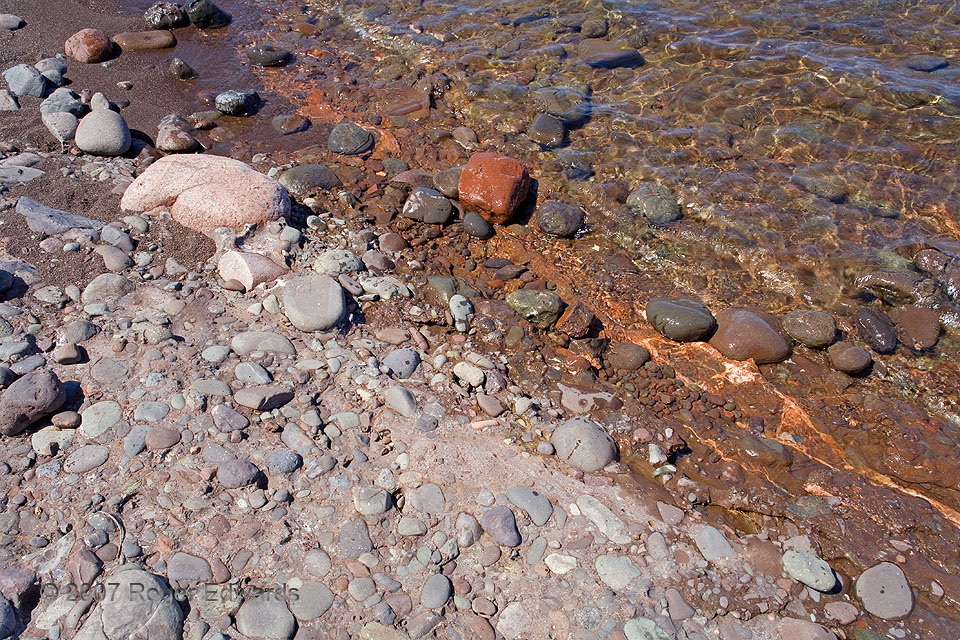
The striking difference in appearance between a wet and dry surface is illustrated well here. A section of beach made of solid bedrock—in this case the colorful, cobble-infused, Precambrian Copper Harbor conglomerate—looks much brighter on its dry surface than the wet parts. Light gets reflected between the underside of the water's surface and the rock material, and gets scattered more … [Read more...]
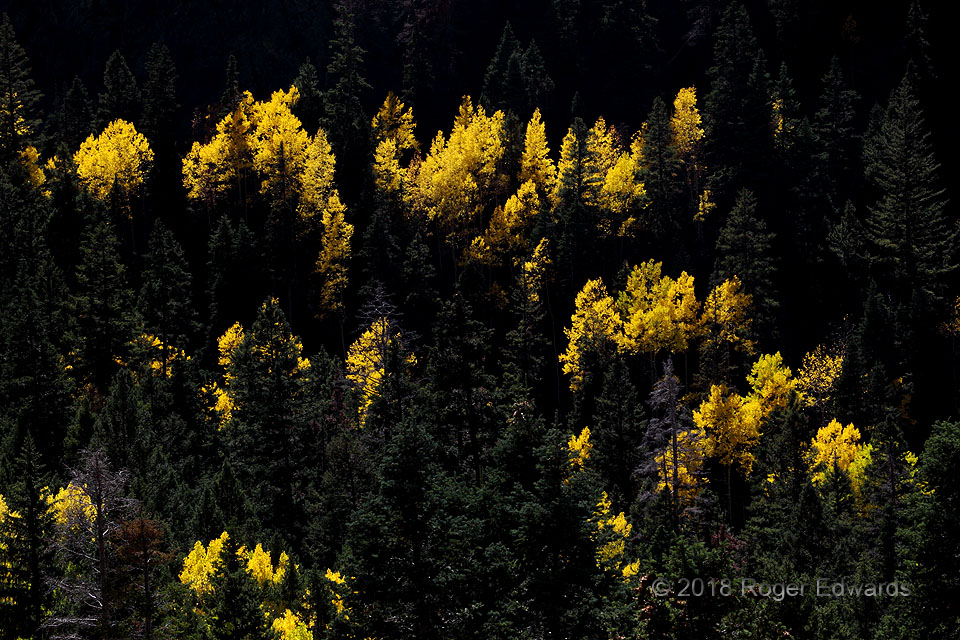
Fall Colors from the Shadows
Rules have exceptions. I find them. This odd effect was made possible by a steep canyon slope, exposure for the bright aspens over the dark conifers, and deliberately violating a fundamental tenet of photographers that oppose midday shooting in the direction of the sun. In this case, the background slope across the southwest side (northeast slope) of the canyon was so steep that it held shorter … [Read more...]
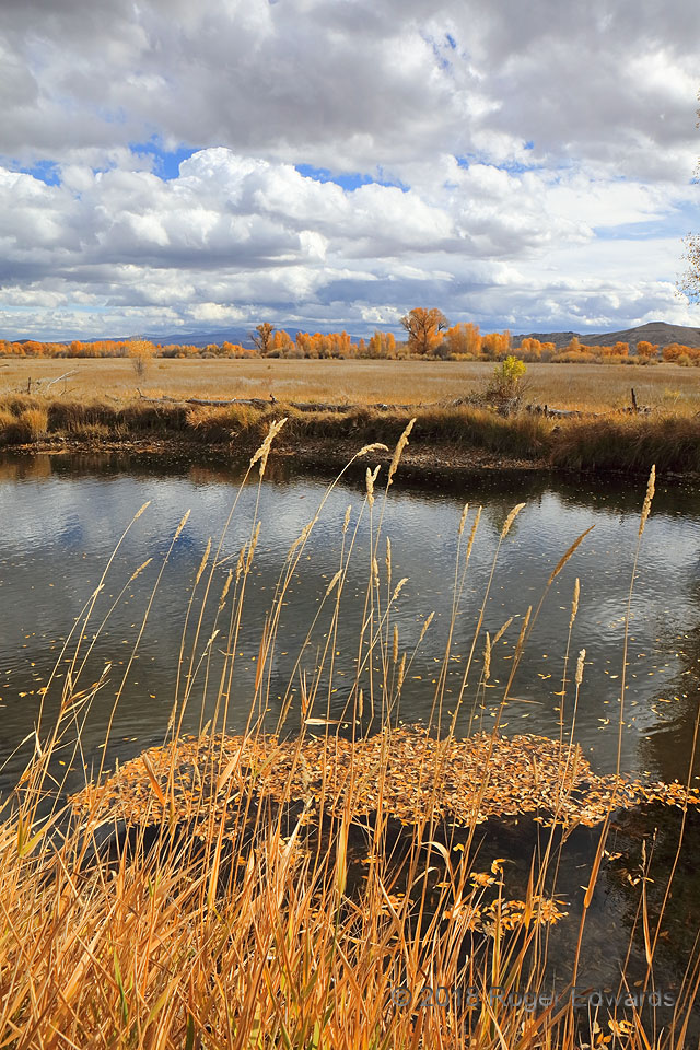
Autumn at Curecanti
On a nearly perfect fall afternoon, a blend of stratocumulus, cumulus humilis and cumulus mediocris rode the southerly flow ahead of a mid/upper-level trough. Distant trees and foreground riparian grasses bore the mark of the changing seasons. Leaf-decorated waters of the Gunnison River's side channel reflected the sky in ripples pushed by a steady, gentle breeze carrying the unmistakable scent … [Read more...]
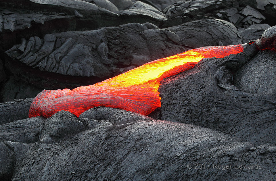
Pavement Pouring
As 2017 changed to 2018, Kilauea's Puu Oo vent still was in a three-decade process of repaving the landscape near and atop what once had been an acreage subdivision of Kalapana Gardens. This was part of the land-building exercise—part the final act, as it turns out, since the flushing of both the summit and Puu Oo craters down to Leilani Estates would occur just a few months later. Who knows … [Read more...]
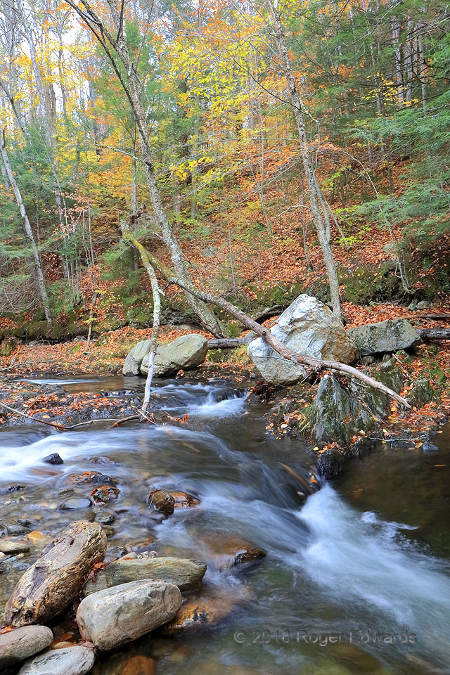
Autumn at Sterling Brook
The idyllic scene, scent and sound of colorful forest foliage over a rushing creek brought solace to the soul, even on a chilly autumn day. Cold waters of Sterling Brook cascaded between and over boulders on their journey from the highlands of northern Vermont to the glacial basin of Lake Champlain, and ultimately, the Atlantic via the St. Lawrence River, occasionally carrying fallen leaves on … [Read more...]
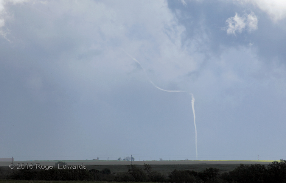
Bent Little Tube
The "Connerville" tornado finished its dance across the biggest stretch of open land in southeastern Oklahoma in spectacular fashion, with a floss-like rope stage preceding this ghost-like finale. Though the vortex likely was still (barely) continuous into the cloud, and therefore still (barely) a tornado, it was losing condensation as the internal pressures rose. Within seconds of this, the … [Read more...]
- « Previous Page
- 1
- …
- 244
- 245
- 246
- 247
- 248
- …
- 425
- Next Page »