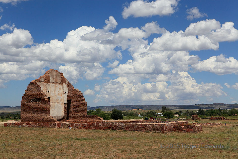
One of the most common cloud types over land or water, whether at high elevation or low, or in between as here, cumulus mediocris (middle-depth) decorate the skies above unstable boundary layers. When convective clouds are present at such depth and density from late morning through early afternoon, as true here, deeper development into thunderstorms may be drawing nigh. In this case, the dryline … [Read more...]
Dust of Okies
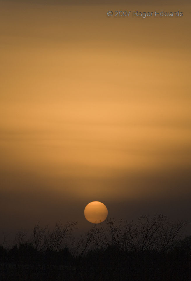
Another dusty sky diffuses the setting sun's golden glow into Martian hues across central Oklahoma, still in the grip of a hard drought at the time of the photo. Yet this dry spell, with dust, was merely a triviality compared to some in the last few centuries in these parts. How often, for example, had this view greeted southern Plains settlers in the days before color photography? As this … [Read more...]
Hampton Tornado after I-80
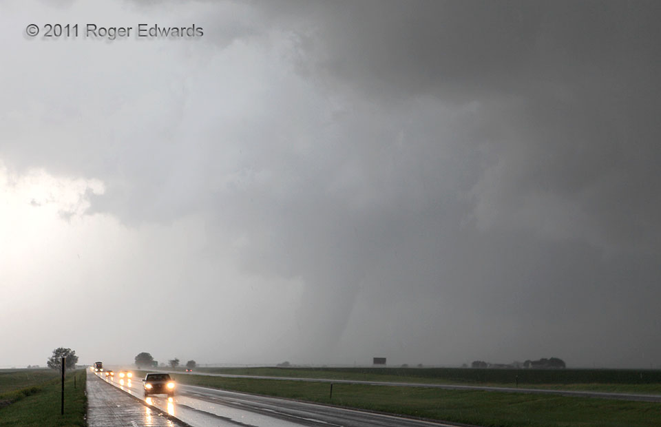
The Hampton tornado temporarily became invisible in rain right after crossing the Interstate, then revealed itself again as a somewhat shrunken but still robust-looking "fat stovepipe" form. Although it continued to narrow gradually and retreat northward, we didn't have much more time to watch or photograph it. The heavy rain falling on me while shooting this tornado started to include painful … [Read more...]
Flood in the Crosstimbers
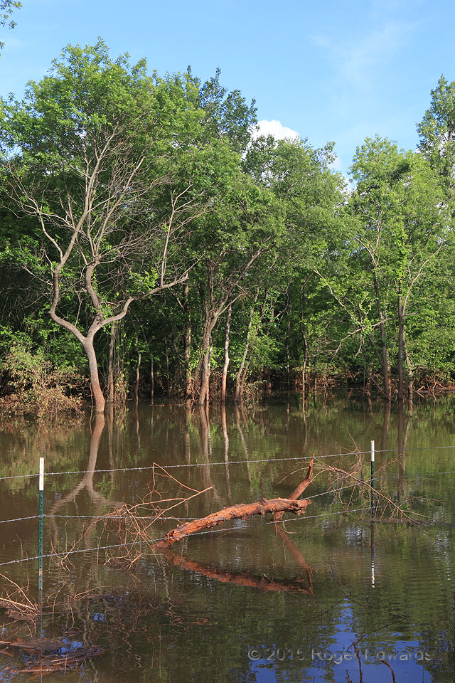
Prodigious rains in May 2015—in this case over two feet at my gauge upstream—sent Lake Thunderbird well out of its usual bounds and into surrounding crosstimbers country, drowning scores of gophers, voles, ticks, and chiggers in the process. Moreover, huge flash floods during that episode ran into the already-swollen lake faster than all possible outlets could drain it, rendering muddy, red … [Read more...]
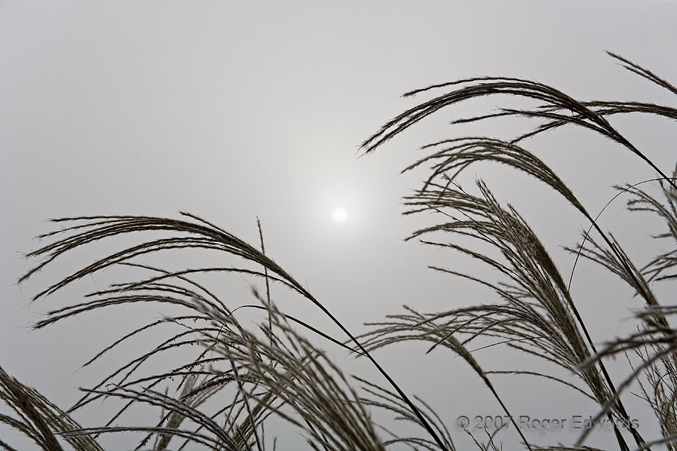
Diffused Sun
A fog-dimmed solar globe rises beyond seed heads of ornamental grasses at the National Weather Center. This was a fine morning for shooting fog related images around the new facility in the dense but shallow deck. A brisk breeze blew, but the resulting waving grass didn't hinder photography of its silhouettes, thanks to the large f-stop and fast shutter speed compelled by metering around the … [Read more...]
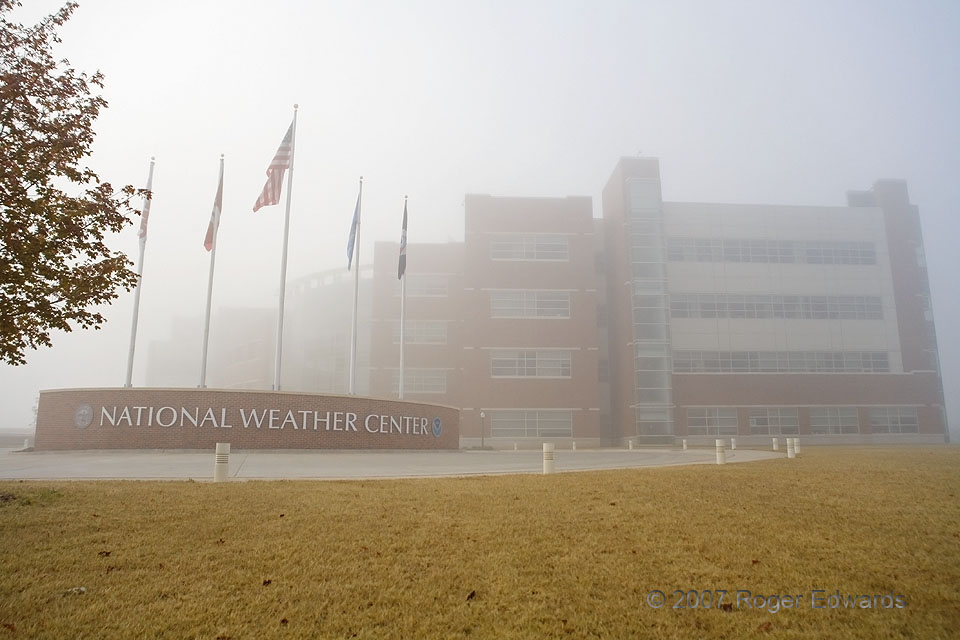
Weather Center in Fog
Fog enshrouds the National Weather Center facility, as seen from the north, within just a little over a year after construction finished. A closer view of the building just a few minutes before yielded this peculiar scene. Norman OK (9 Nov 7) Looking S 35.1825, -97.44 … [Read more...]
- « Previous Page
- 1
- …
- 225
- 226
- 227
- 228
- 229
- …
- 413
- Next Page »