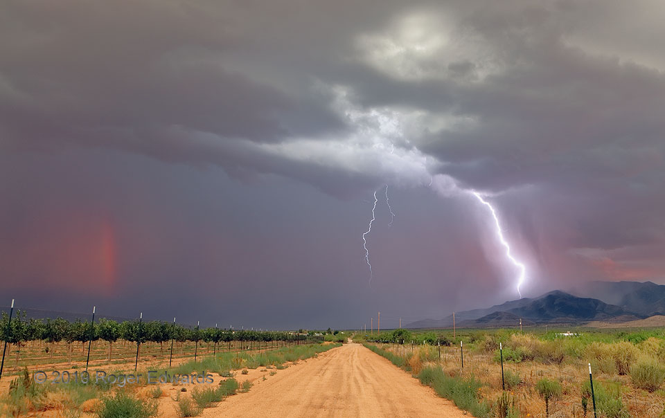
There is so much going on here! At first, in the viewfinder, this shot irritated me a bit, because the cloud-to-ground stroke at right appeared uncomfortably overexposed, and I didn't pay much attention to the brief cloud-to-air filament (failed step leader from the same discharge) in the middle, nor to the rainbow. Yet the rainbow was fleeting and fortunate to capture—less than half a minute … [Read more...]
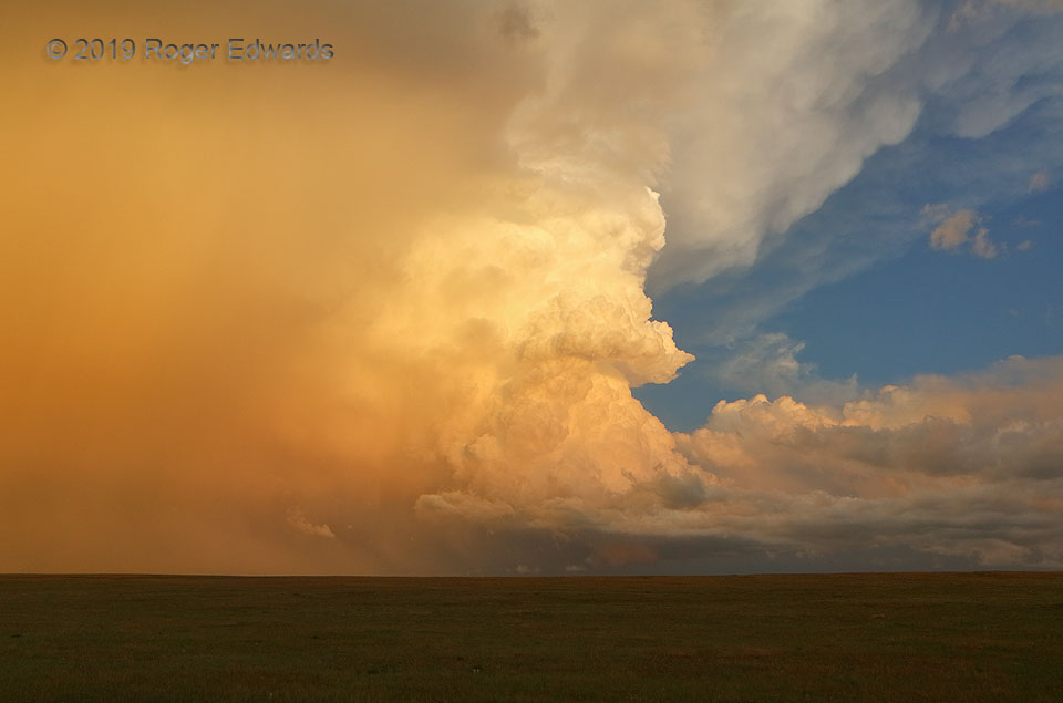
Supercell Sundown on the High Plains
On an amazing eastern Wyoming evening, one of the most brilliant Great Plains sunsets I’ve seen exploded over the sky, casting the entire depth of this supercell in its blazing glow, and in turn, illuminating an otherwise shadowed landscape from the east. The supercell, sporting a short-lived wall cloud (also sunset-lit), formed on the tail end of a large storm complex, and soon merged fully into … [Read more...]
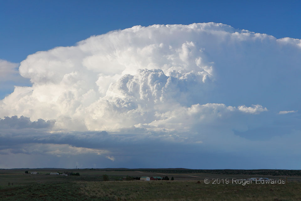
Sunlit Supercellular Towers
Hail, lightning, tornadoes (all of which this storm had produced): they're certainly interesting and exciting aspects of storm observing across the Great Plains. Yet scenes like this often conjure many of my fondest memories of any given storm-observing trip or season. The supercell—still sporting a well-developed and partly sunlit wall cloud—was "getting away" across a large road void, and I … [Read more...]
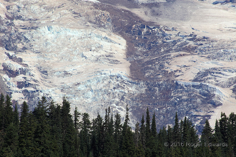
Glacial Breaks
Looming high above and beyond the alpine coniferous treeline, the massive bulk of Mount Rainier hosts thick, active glaciers. These slabs of ice flow, crack, tumble, and otherwise push inexorably down the steep slopes of the big volcano, carrying with them strips of embedded rock and gravel scoured off the mountain. It’s no surprise Rainier wears such a thick veneer of ice, as it thrusts over … [Read more...]
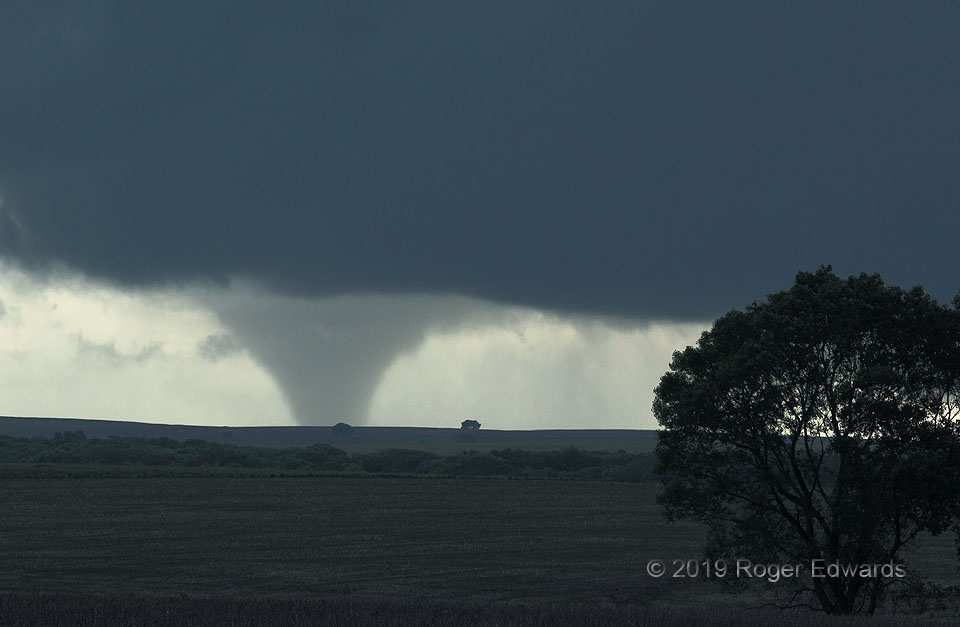
Springtime Afternoon, Northern Kansas
Springtime in Kansas sometimes brings days like this. A growling, stormy sky cast deepening shadow across the rolling prairie before revealing a dangerous bite to back up its bark. Had the "Tipton" tornado kept on its original northeastward track, especially with a northward late-lifespan turn common to longer-lived tornadoes, it would have moved very close to this spot. Fortunately for anyone … [Read more...]
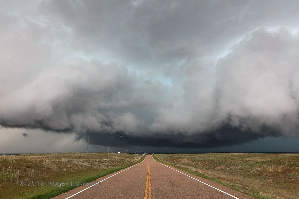
Into the Notch
This isn't just a weird and ominous-looking High Plains thunderstorm. You're staring right down the "notch" of a supercell unlike most found in weather textbooks and photo sites. This one developed within a loose band of convection, and remained what we often call a "line-embedded supercell" for most of its lifespan. The storm had a standout reflectivity and velocity presentation as a supercell … [Read more...]
- « Previous Page
- 1
- …
- 206
- 207
- 208
- 209
- 210
- …
- 425
- Next Page »