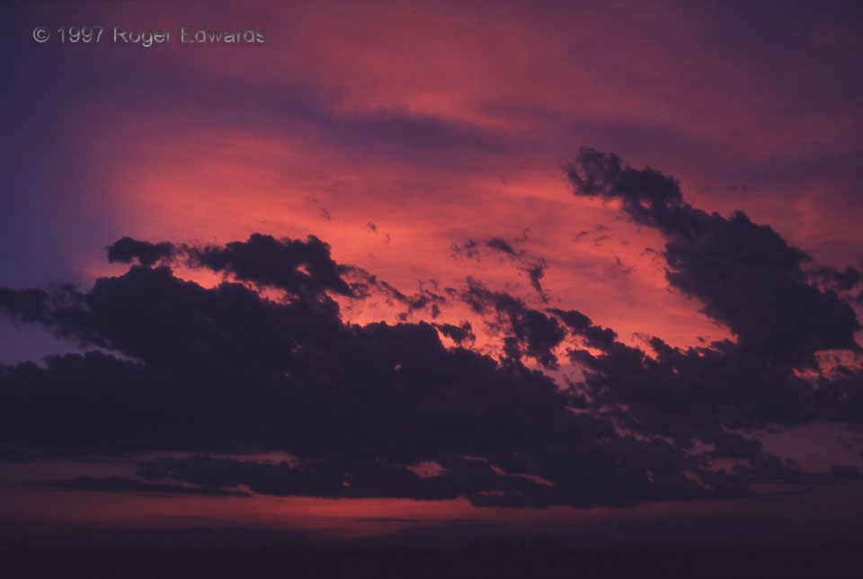
With their silhouetted, textured forms, fractocumulus and ragged, strongly sheared cumulus layered this splendid central Kansas sunset of brilliantly painted cirrus. It had been an otherwise rather nondescript chase day, but soon before entering Hutchinson for a late dinner, this kiss of color from the west soothed my mind and saved the trip from being a waste. Even on a "bust" day, one usually … [Read more...]
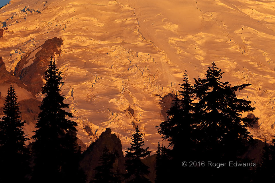
Glacial Sunrise: Mt. Rainier
On this cool Cascade Mountain morning, the intricately textured glacial ice that caps Mt. Rainier spectacularly reflected the earliest direct sunlight of the day, while surrounding countryside remained silhouetted in shadow. Ice cliffs more squarely facing the sun, of course, reflected more of the sunrise back at us, accentuating the glaciers' crumpled, rugged form. A short, tripodded time … [Read more...]

Scud-Wrapping Short-Timer
Here was a fascinating midday scene: a rotating wall cloud with a suspiciously conical lowering in about the right place, with sunlit scud riding the rapidly wrapping, rather dusty occlusion downdraft around the mesocyclone. The early-afternoon hour's high sun angle, and lack of intervening anvil, allowed the scud to shine brightly, in strong contrast to the updraft region. A brief tornadic … [Read more...]
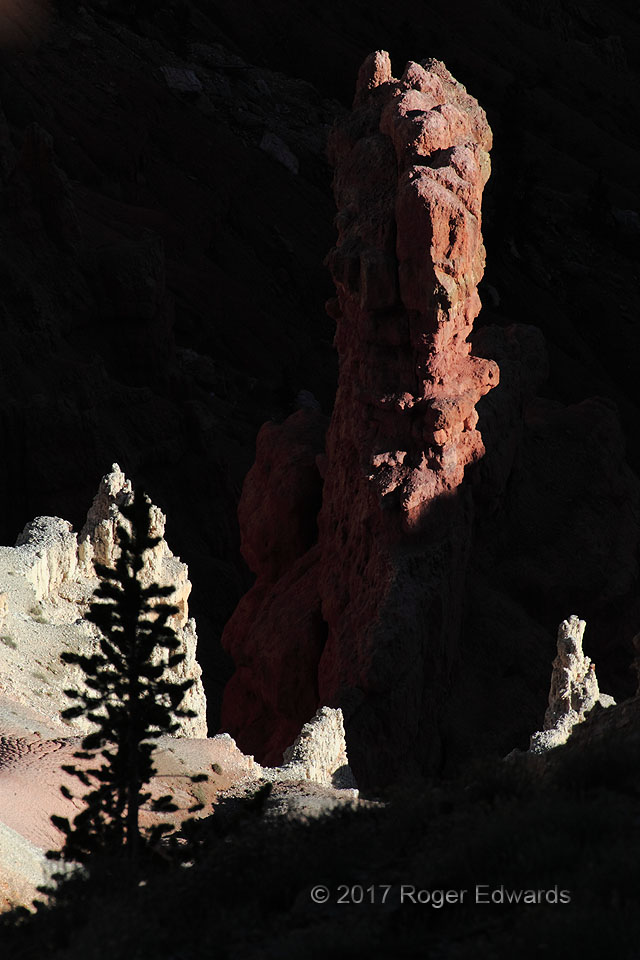
Light and Shadow: Cedar Breaks
Can you tell I was having some fun here with the interplay of late-afternoon light and deep shadow? The red hoodoo at right, and white, yellow and pink sediments elsewhere, all formed in a lake about 60 million years ago, laid down in water and now carved up by it. This 3-mile-wide, west-facing natural amphitheater of steeply pitched, deeply eroded, Eocene Claron (a.k.a. Wasatch) formation … [Read more...]
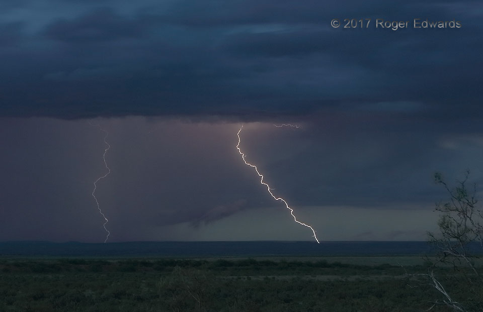
Flashy Twilight
A couple of cloud-to-ground flashes split the evening sky of eastern New Mexico, at just the right angle and distance to send a combined, sometimes booming report of thunder across the big landscape for nearly half a minute. Such thunder happened with other CGs that evening too. The thin, pinkish "ghosting" effect around the brighter, closer flash is the result of its faintly illuminating the … [Read more...]
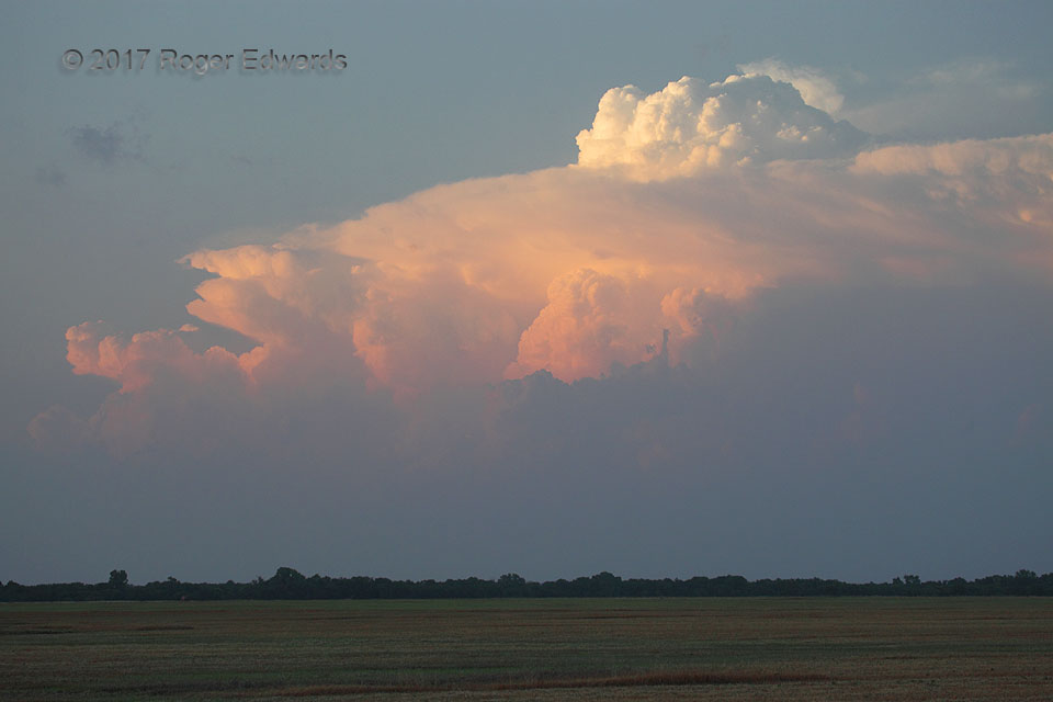
Splashing Overshoot
Sometimes, overshooting storm tops generate their own tufts of cirrus clouds, higher than the level of the storm's main anvil shield and downshear (here, rightward) of the upthrusting dome. While often seen on high-resolution satellite imagery of intense thunderstorms (including supercells, like this), the "splashing" effect sometimes appears from the ground, and is an uncommon treat to behold. … [Read more...]
- « Previous Page
- 1
- …
- 189
- 190
- 191
- 192
- 193
- …
- 425
- Next Page »