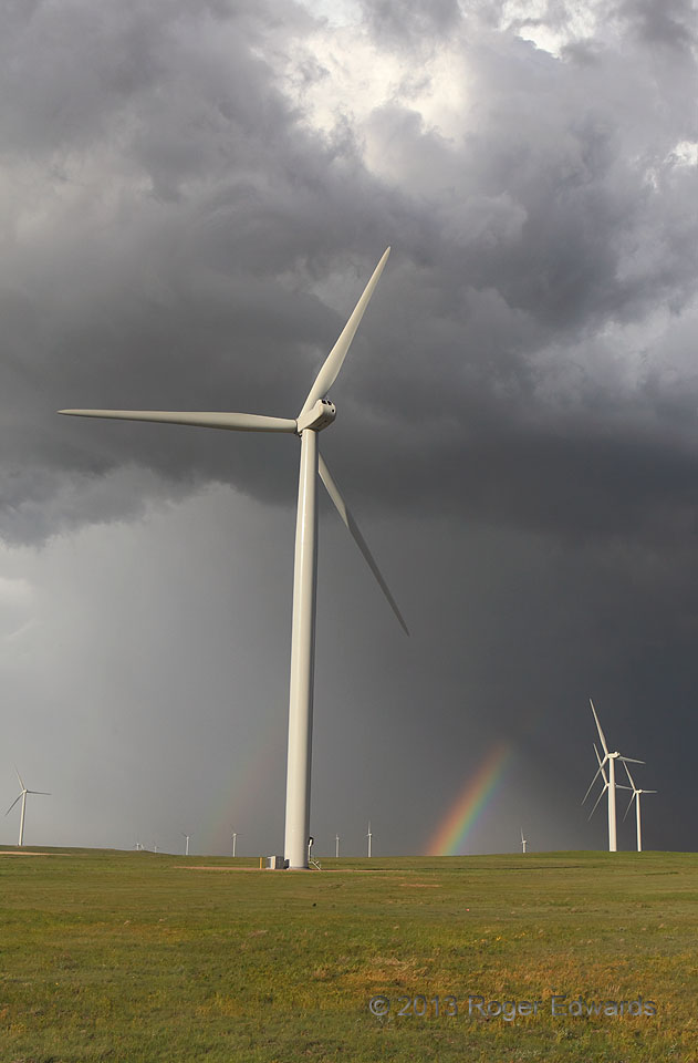
A shaft of late-afternoon sunshine wedged itself beneath convective towers and their cores to form a short but brilliant double rainbow, as backdrop to wind turbines. Located on private land just north of the Pawnee Buttes and Pawnee National Grassland, the Cedar Creek Wind Farm delivers around 550 MW of power to the Colorado grid. Wind turbines are no cleaner, have a far larger land footprint, … [Read more...]
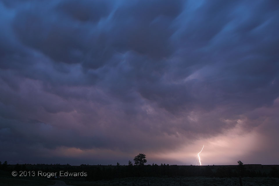
One Montana Night
A productive day for daytime storm-cloud and lightning photography in central Montana came to a close with a wonderful show of lightning flashes on the rear side of a retreating convective complex near Roundup. The reddish tones of the in-cloud lightning intermingled with the barely-visible blue light of deep twilight, and the texturing of the quickly moving mammatus. Meanwhile, the rich, … [Read more...]
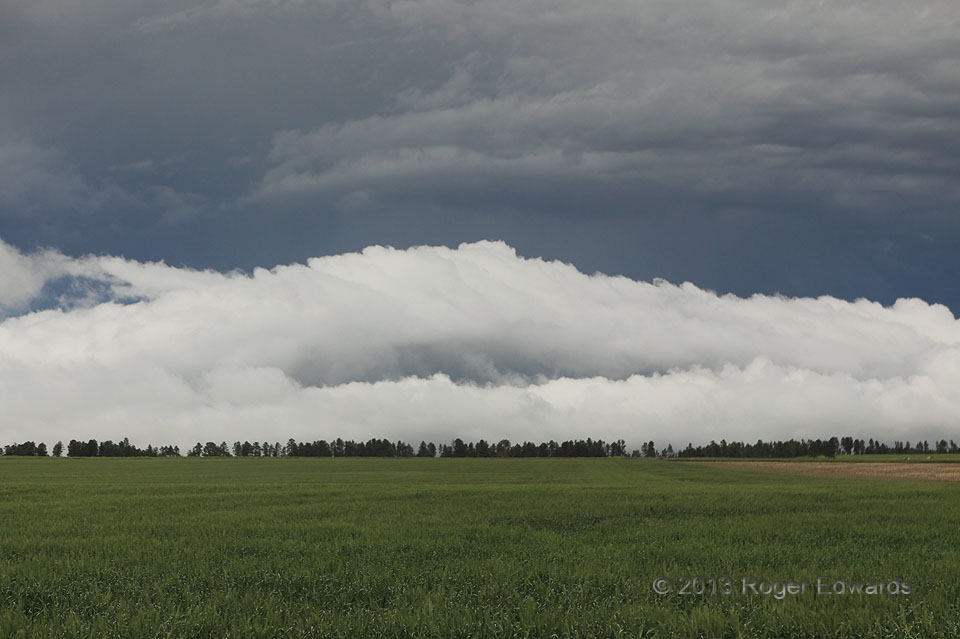
Roll Cloud Headed Upslope
Having risen south out of Chadron to stay ahead of a messy complex of severe thunderstorms, we awaited whatever visual treats the storms had to offer. Risen south? Yes! Though people often say "dropped south" in deference to mapping conventions, a sharp, forested escarpment rises south of town, Pine Ridge: the same feature that gives name to the tribal reservation in nearby South Dakota. … [Read more...]
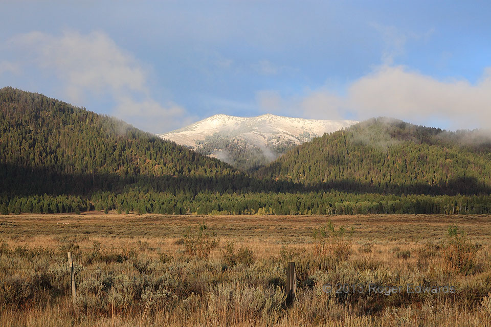
Moist Idaho Meadow
The freshly snow-capped western face of appropriately named Mt. Two Top, just inside Idaho from the Montana state line, stands out as backdrop to a soft brushing of fractocumulus clouds in the foothills' late-afternoon "golden hour". The cool, moist boundary layer of high-altitude outflow followed a nearly daylong series of showers and thunderstorms across this area, and eastward across the … [Read more...]
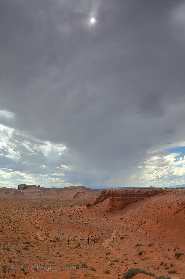
Sun through Anvil
Above a deep desert wash in southeastern Utah, a cumulonimbus' anvil spread eastward, blocking out a great deal of sunshine, but for a thin patch allowing the sun itself. Despite the anvil's thickness otherwise, the storm that produced it wouldn't offer a valley-deepening flash flood here; it already was weakening, and soon would devolve to a patch of remnant high clouds wafting toward the … [Read more...]
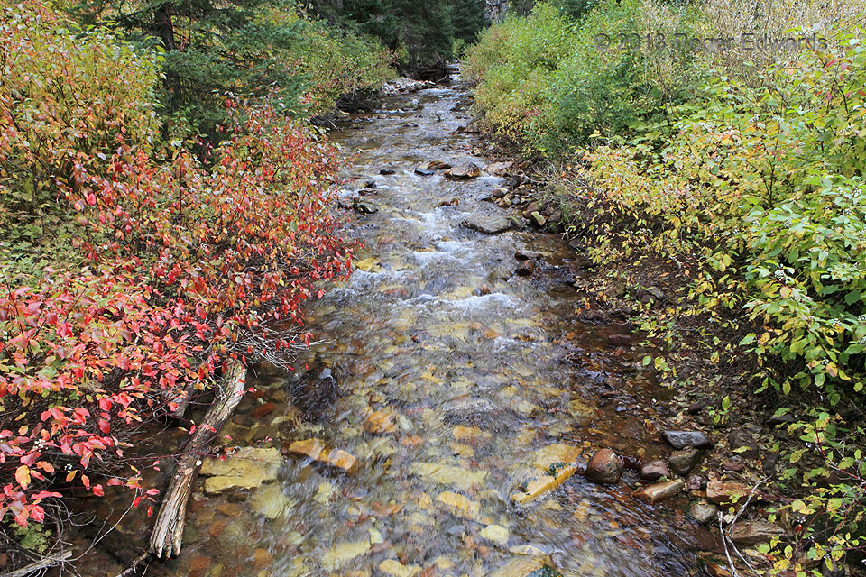
Autumn Along Swift Creek
Aptly named Swift Creek rushes through its namesake canyon in the Salt River Range, draining a small part of western Wyoming's high country, rendering a beautiful, placid scene with its gaudy clothing of autumnal colors. Off the well-trodden tourism paths, but still readily accessible by road and foot, still reside some gems of the West. This area certainly is one. 3 ENE Afton WY (22 Sep 13) … [Read more...]
- « Previous Page
- 1
- …
- 186
- 187
- 188
- 189
- 190
- …
- 425
- Next Page »