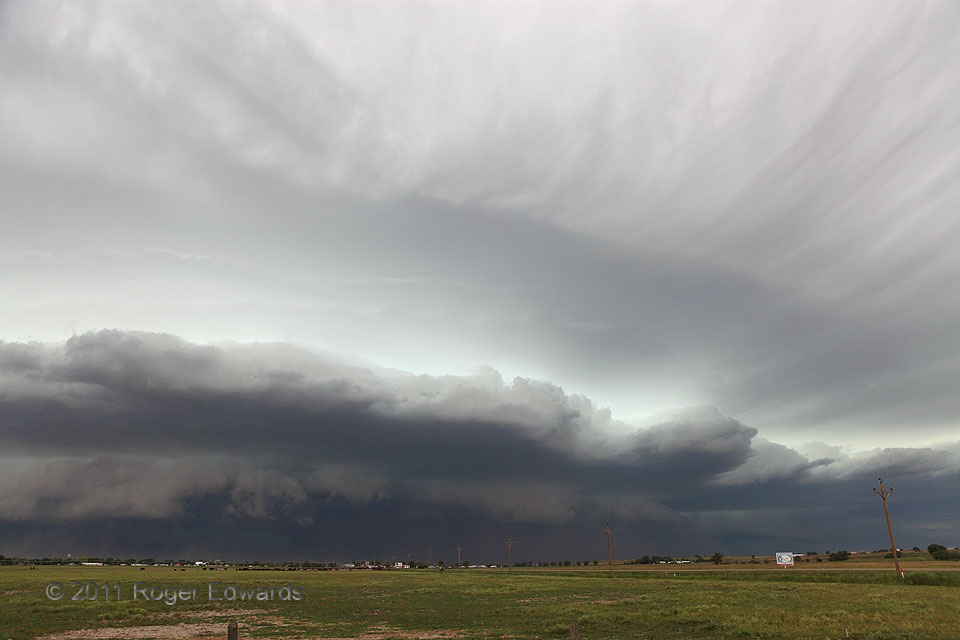
[Part 1 of 3] Aggregating upscale from a blend of high-based supercells and outflow-dominant multicells, a tremendous bow echo formed west of Scottsbluff and roared over town with increasingly better-defined outflow-cloud features—captivating yet menacing, wasting no haste in churning directly at us. The severe-wind producing system chased us in stepwise fashion as we stopped to photograph it, … [Read more...]
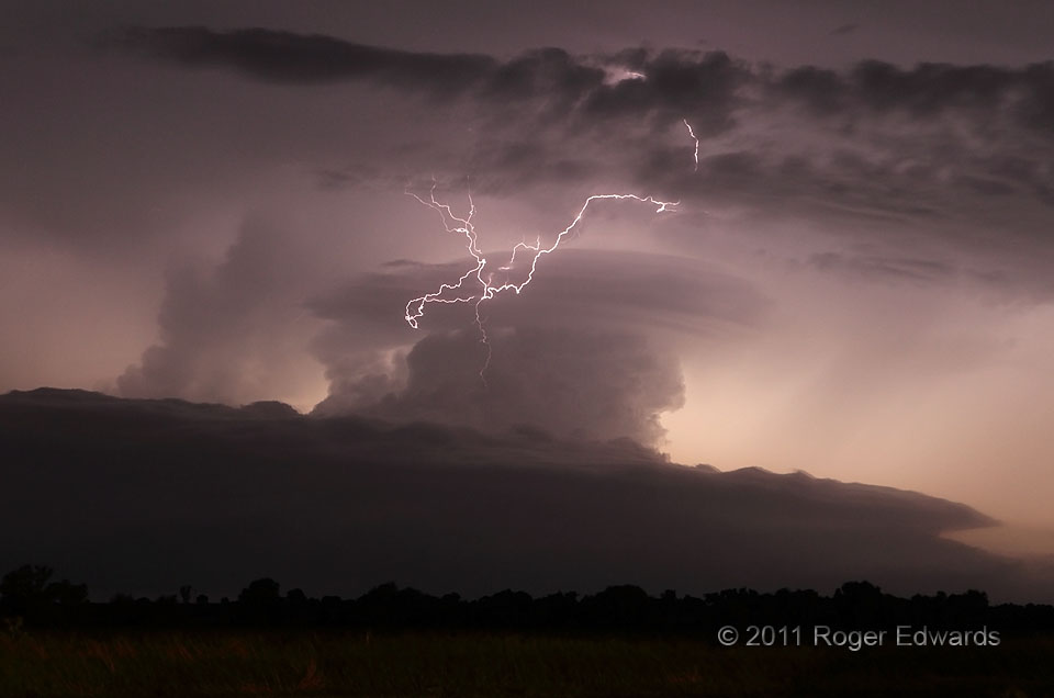
Electricity in the Air
Two spectacular supercells wandered eastward to our north on this amazing night—the first a more well-known storm for its unique breaking-wave shape, the second for its prodigious production of middle–upper-level lightning. This flash looks downright drunk! It remains one of the most contorted and erratic lightning channels that I've seen or photographed. Were just the visible part straightened … [Read more...]
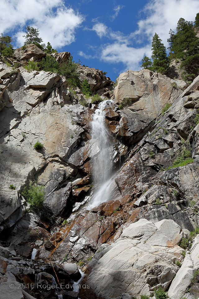
Agnes Vaille Falls
Draining the southern slopes of the "Fourteener" Mt. Princeton, Chalk Creek tumbles over a high ledge of rock known as quartz monzonite, to form this beautiful little waterfall. The bright gray-white color of the mountain's dominant rock formation, especially on sunlit cliffs seen from a distance, superficially resembles the sedimentary limestone type known as chalk. That gave the creek its … [Read more...]
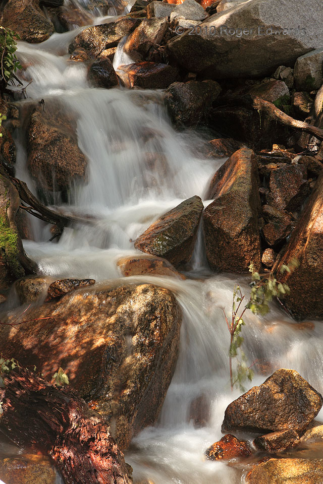
Cascade on Chalk Creek
Shortly below Agnes Vaille Falls resides a series of small cascades and rapids that, especially in their rhythmic and soothing sounds of rushing, gurgling waters, make small wonders of their own merit. In any given year, these may be reconfigured or shifted back and forth as more rocks and boulders tumble down the creek, and down into the water from adjoining steep slopes. The small cottonwood … [Read more...]
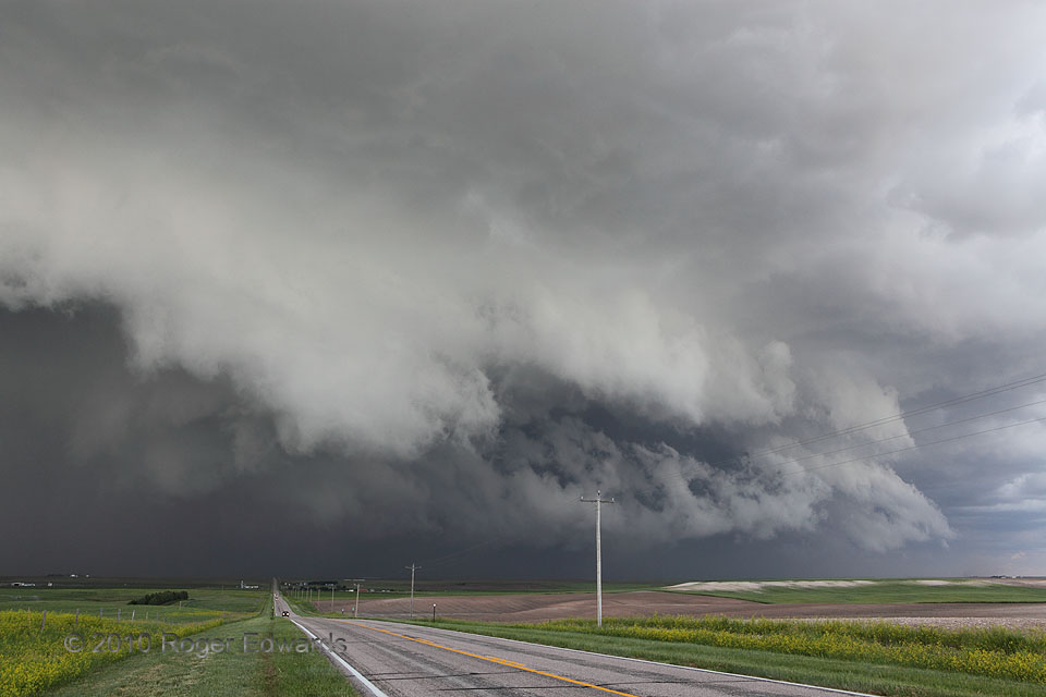
Serious Surge
Even though this storm still was a supercell, with a well-developed and deep mesocyclone, it also heaved forth a prodigious mass of precipitation and outflow in every direction around that internal circulation. Not often does one see a heavy-precip supercell in Wyoming; but this stage certainly qualified it as such. The mesocyclone itself was hidden somewhere in the dark murk of precipitation … [Read more...]
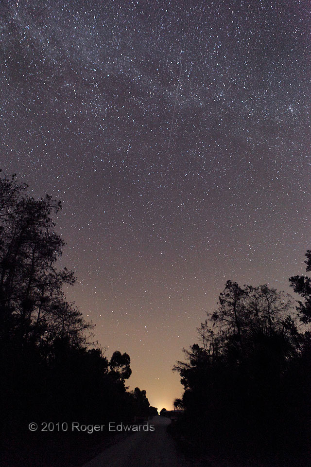
Meteor through Milky Way
I've never dabbled much in astrophotography, but this combination of phenomena caught my attention while finishing a loop drive on a rough, remote road: a great view of the Milky Way (from a dark sky in the western Everglades) and Mie scattering of light from the small, unincorporated settlement of Monroe Station. Mie scattering takes visible light (here, the orange light of sodium-vapor lamps … [Read more...]
- « Previous Page
- 1
- …
- 183
- 184
- 185
- 186
- 187
- …
- 425
- Next Page »