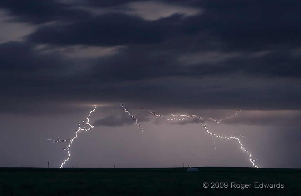
Numerous cloud-to-ground (CG) strokes split the nighttime sky northeast of Clayton, from a slowly weakening multicell storm that had moved southeastward out of Colorado. I shot over 50 with this storm alone, and here are two. Quite possibly, the flash on the right struck soil of the Oklahoma Panhandle, while the one on the left almost certainly was in New Mexico. Both show that, for lightning, … [Read more...]
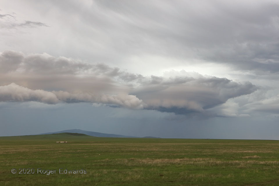
Sierra Grande Shelf Cloud
A weirdly shaped and colored shelf cloud surged out across the volcano-studded High Plains of northeastern New Mexico, heralding a rush of cooler air and rain across this shortgrass rangeland. The combination of laminar, spaceship-like cloud-base formations and an odd beige tint with hints of pale mauve is uncommon in my storm-observing experience, but for similar sightings the very day before, … [Read more...]
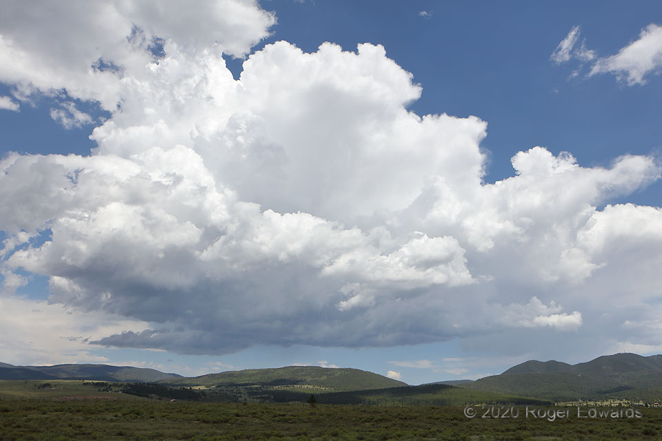
Young Cumulonimbus
Forget mountain-grown coffee. I'll take a big cup of mountain-grown convection, please. In the warm season, after the dryline has disappeared in favor of moisture from the North American Monsoon, "recycled" moisture advected upslope behind the passage of weak cold fronts, and/or or where a more direct fetch of Gulf air can back right up to the mountains, we see activity such as this often on the … [Read more...]
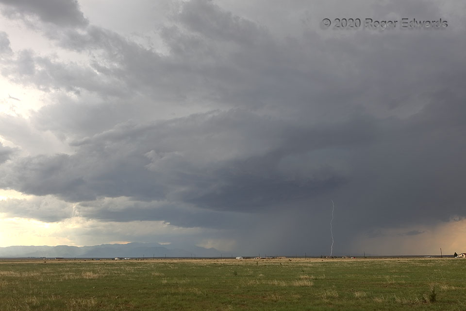
Propelled off Pikes Peak
This small but sporadically sparking supercell fronted a series of storms that originated over or just behind Pikes Peak, just left of distant middle, and rolled east-southeastward across the southern parts of the Colorado Springs area. Each of the two separate storm bases in the background also exhibited visual supercellular characteristics at times, though located atop the outflow from this … [Read more...]
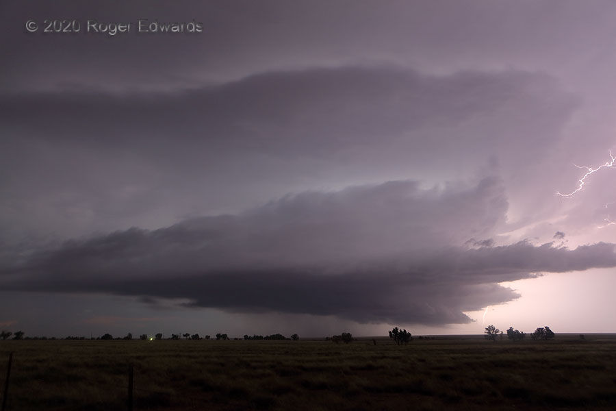
Sparking Ordway Supercell
Diving south-southeast across the High Plains of eastern Colorado, a magnificent summertime supercell flung large sparks all around, lighting up the night naturally with pulsating brilliance. Though fundamentally similar to other supercells, every one has its own expressive personality in both cloud form and lightning production, unique as a fingerprint. That’s why I appreciate them so, and seek … [Read more...]
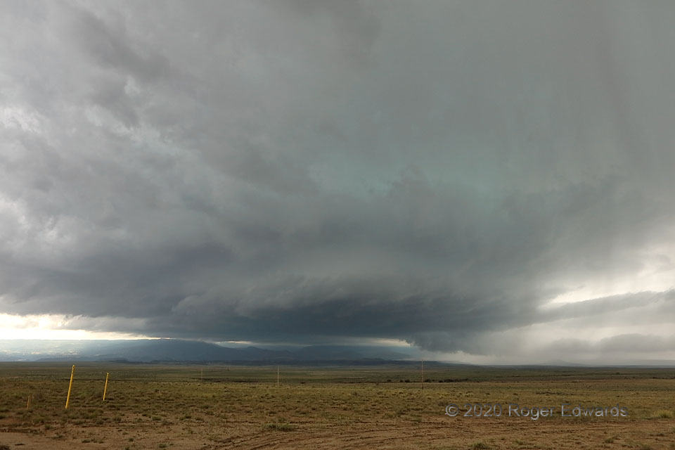
Turquoise from Trinidad
This storm formed over the Sangre de Cristos west of Trinidad, and was a well-developed supercell by the time it passed over town. By the time of this photo, east of Trinidad, the supercell had enlarged and clearly strengthened, sporting a very large updraft base, multiple tail clouds, and intermittent wall clouds. Entering richer moisture, the storm would intensify further, lower its based to … [Read more...]
- « Previous Page
- 1
- …
- 173
- 174
- 175
- 176
- 177
- …
- 425
- Next Page »