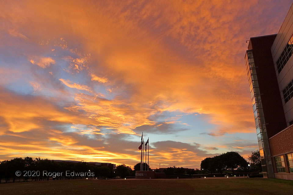
Spectacular sunrises and sunsets are so common in central Oklahoma, and elsewhere up and down the Plains States, that it's easy to take them for granted. I don't. Then there are those that blaze the sky with a depth of texture and brilliance just a notch above, that drop jaws in admiration and appreciation. This is that. After 15 consecutive night shifts, with a long-anticipated block of time … [Read more...]
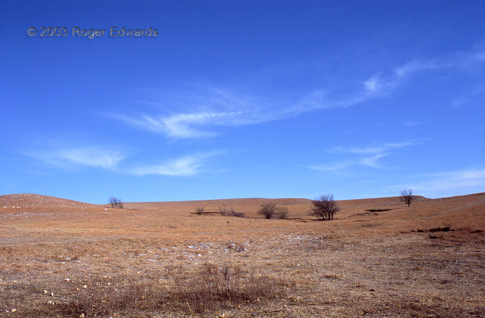
Cirrus Fibratus
Fibrous cirrus tufts—fibratus, or featherlike—drift high over the Flint Hills of Kansas during late winter 2003. In another month and a half, this field of remnant dry grass and forbs from the previous growing season would be burned, its ashes offering nutrients to the new growth that would feed livestock over the coming summer. 7 SSW Council Grove KS (20 Feb 3) Looking ENE 38.5539, -96.5216 … [Read more...]
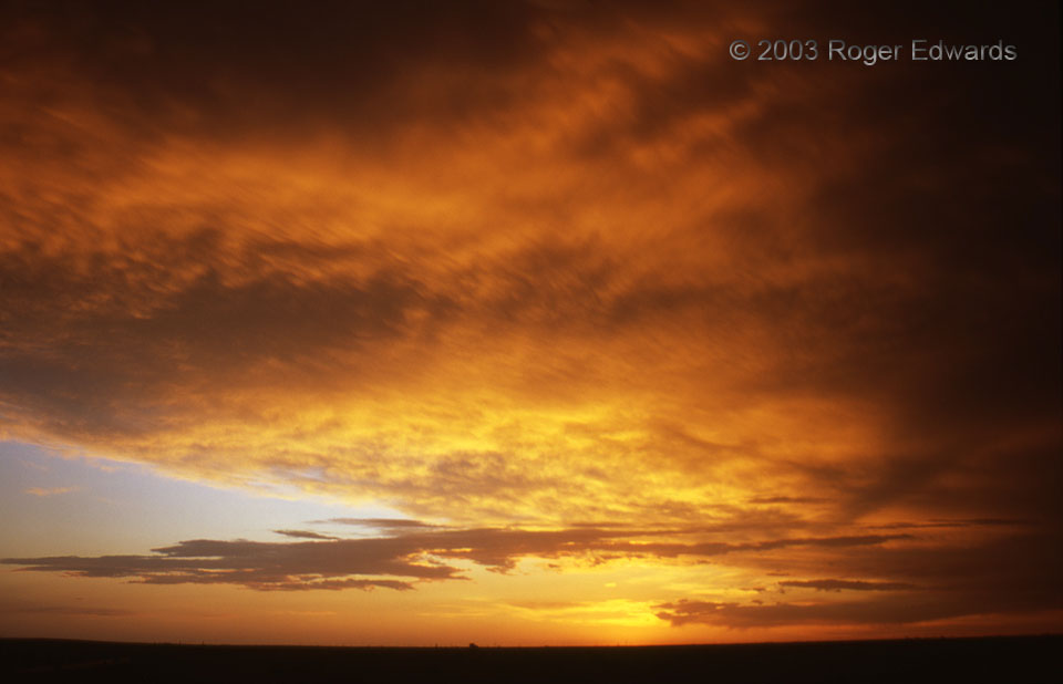
Borderline Spectacular
This splendid scene unfolded to our west only a few minutes after a a thoroughly pleasing mammatus display to the southeast. We were just inside New Mexico from the Texas border, and under the vast painted skies of the tabletop-flat Llano Estacado. Our senses were awash and aglow in the end of a stormy afternoon, soaking in the feel, sight, sound and smell of a landscape unusually soaked with … [Read more...]
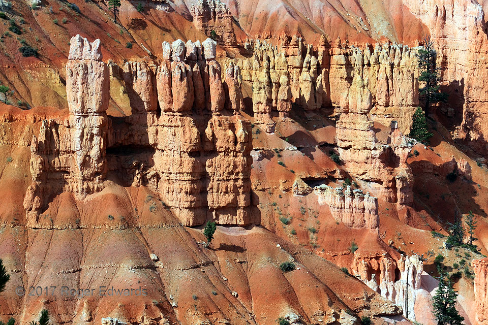
Bryce Vista
Bryce Canyon National Park has inspired hikers, artists, writers, adventurers, and photographers for generations, and I’m no exception. Even with geological understanding of how these magnificent, castle-like clusters of hoodoos formed in freeze-thaw cycles and flooding summer deluges across these high-altitude badlands, a fundamental appreciation of God’s artistic handiwork runs deeper than the … [Read more...]
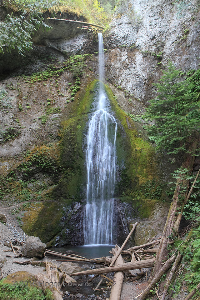
Marymere Falls, Olympic Mountains
Delicately and thinly tumbling Falls Creek out of the Olympic Mountains in a pattern resembling a narrow-necked bottle, Marymere Falls makes a serene and fairly accessible place to spend some of a summer afternoon in the Northwestern rain forest. The presence of tossed logs and a boulder tells a different story: one far more dangerous, of thunderous and powerful torrents in times of flood. 4 SW … [Read more...]
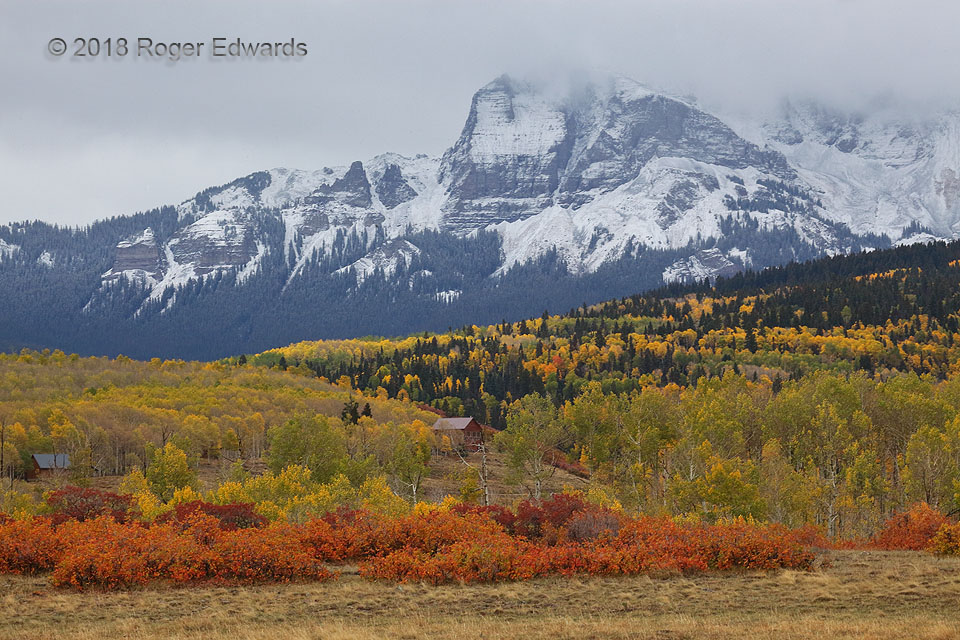
First Fall Snow, San Juans
Freshly blanketed in the season's first snow by a fall squall, the northwestern San Juans north of Telluride receive a final dusting of the day from a deck of trailing nimbostratus. That season, the first to fall was the last to melt! This snow would be buried under progressively deeper accumulations the next day, and in succeeding weeks, through the remainder of the cold season, not to see … [Read more...]
- « Previous Page
- 1
- …
- 169
- 170
- 171
- 172
- 173
- …
- 413
- Next Page »
