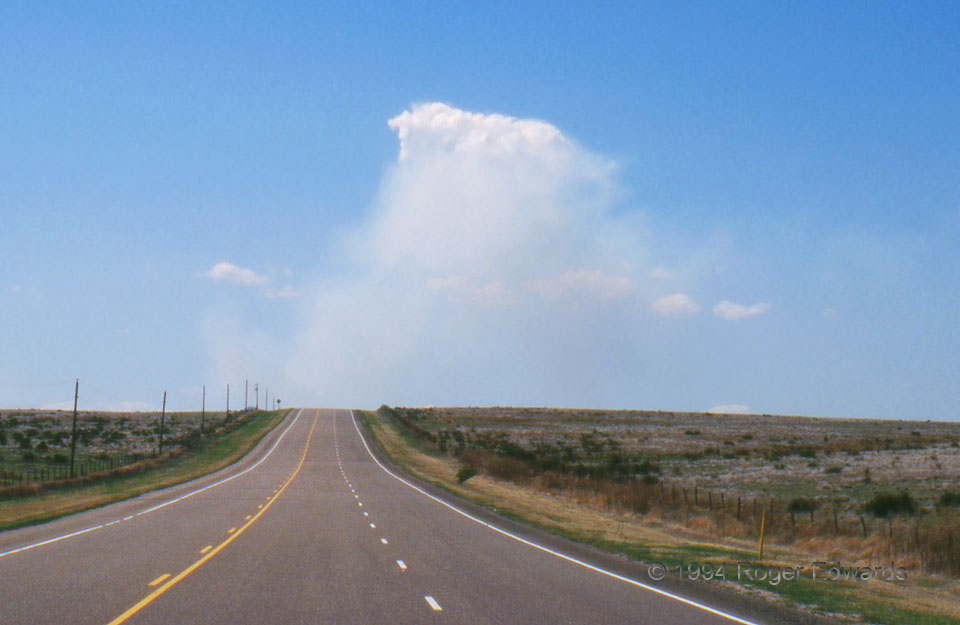
This cumulus formed atop a smoke plume from a small range fire, about 5 miles behind a diffuse dryline. Still, whether from the pyroconvective plume itself or the entrainment environment (as evident in the nearby non-pyroconvective cumuli), there was enough moisture to condense cloud material. 4 NW Hardesty OK (24 Apr 94) Looking WNW 36.6513, -101.2258 … [Read more...]
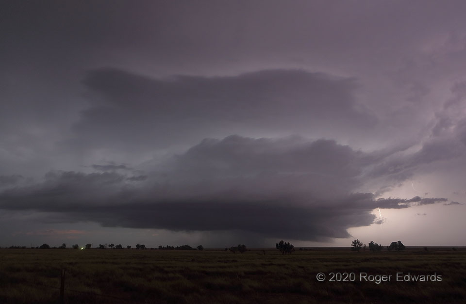
Tails of the Night
This marvelous August "Tail-end Charlie" supercell had well-developed tail clouds in its brief daylight and twilight stages, largely lost the forward-flank tail for a spell while still spitting vault lightning, then regained numerous tails here. Yes, that probably sets the record for number of uses of the word "tail" in a single sentence in SkyPix. 2 N Ordway CO (4 Aug 20) Looking NNW 38.2559, … [Read more...]
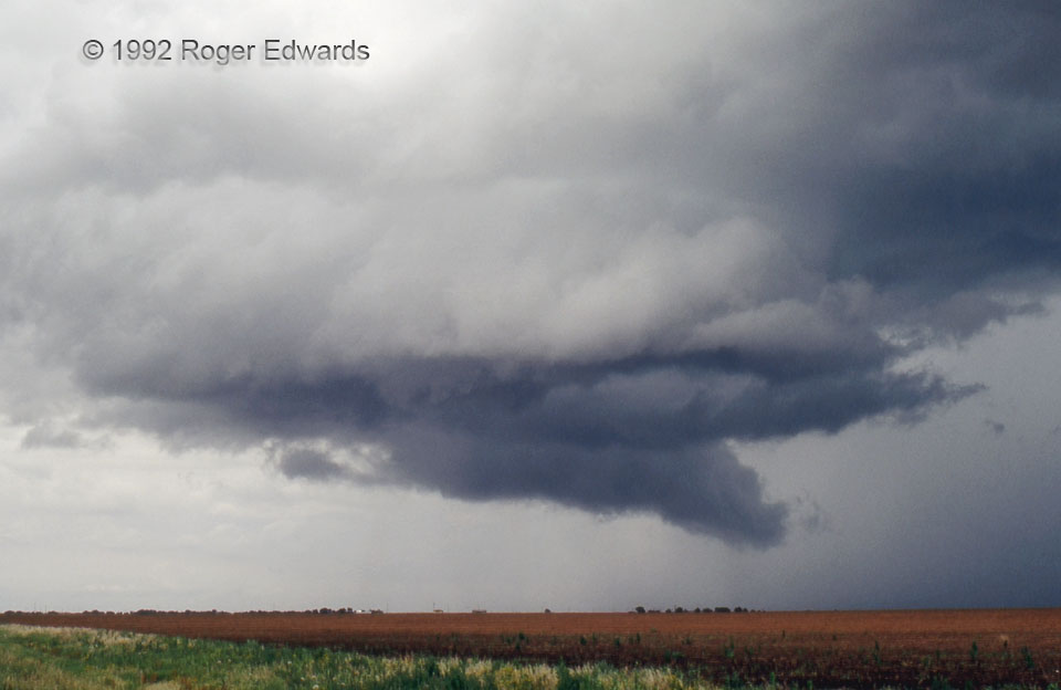
West Texas Wall Cloud
1992 was a sparse Great Plains chase year for me, with one tornadic day (11 May in southern Oklahoma, no passable photos), a couple of short-lived west Texas supercells, and that's about it. When living in another part of the country, and needing to take leave months in advance, one must accept and appreciate whatever the atmosphere gives in the time window available. In such a year, therefore, … [Read more...]
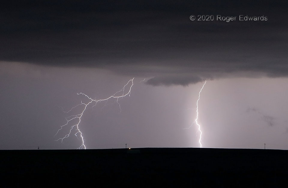
Dinner Forks
This is forked lightning, two strokes to be specific, from an electrically prolific thunderstorm near the New Mexico/Oklahoma line. Since I was still munching on some fast food picked up in Clayton, these were dinner forks. Am I wrong? 3 S Seneca NM (2 Aug 20) Looking NNE 36.5838, -103.1267 … [Read more...]
4-Layer Outflow Cake
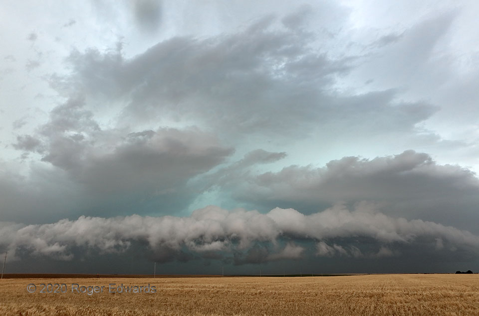
Many thunderstorm complexes with deep cold pools produce tiered shelf formations on their leading edges, especially when impinging on a boundary layer that is stabilizing with the loss of afternoon solar heating. It's not very common to see four such layers, however, extending well into the midlevels. They're easy to count, stacked one above the next. One even can argue a thin, partial fifth … [Read more...]
Barstow Blow
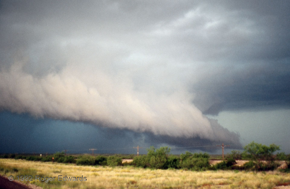
If this west Texas cloud formation resembles a snowplow to you, that's not entirely accidental. Both represent a heaver, denser mass (cold slab of outflow air, plow blade) lifting lighter material (warm inflow air, snow). Of course, here's where that superficial similarity ends: the snow ultimately falls aside, whereas the inflow air rises to form the shelf cloud, then enters the storm's … [Read more...]
- « Previous Page
- 1
- …
- 167
- 168
- 169
- 170
- 171
- …
- 425
- Next Page »