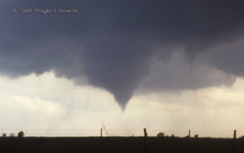
A well-structured, autumnal supercell developed a strong area of spin in the lowest part of its updraft area, which gradually intensified into a tornado as it moved closer. This was in the first several seconds of the confirmed tornado, with rotating dust beneath. That wasn't all; I almost had a satellite tornado spin up even closer! The funnel at right rotated briefly but tightly. I watched … [Read more...]
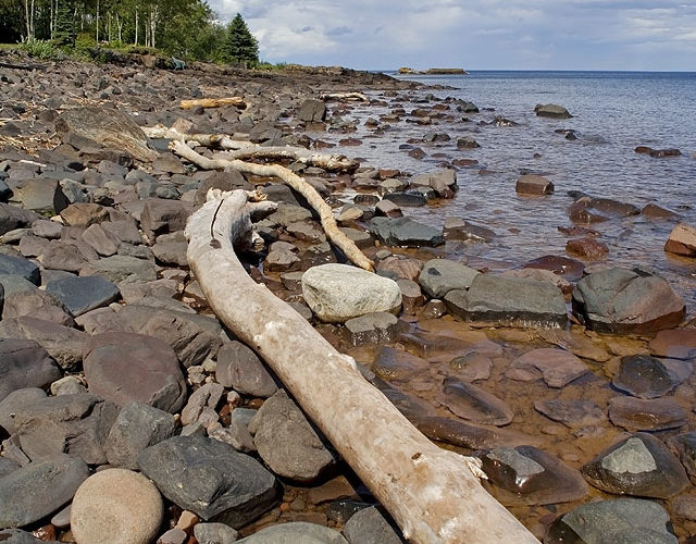
Superior Shore at Knife River
Gentle summertime waters belie their fierce pounding of the shoreline amidst “the gales of November”, smoothing the Precambrian igneous and metamorphic rocks, and depositing big logs such as this. In the distance, soft but pretty cumulonimbi, that formed over a moist and diurnally heated landscape, weaken as they cross over the cold, stable boundary layer of Lake Superior. Knife River MN (11 Jul … [Read more...]
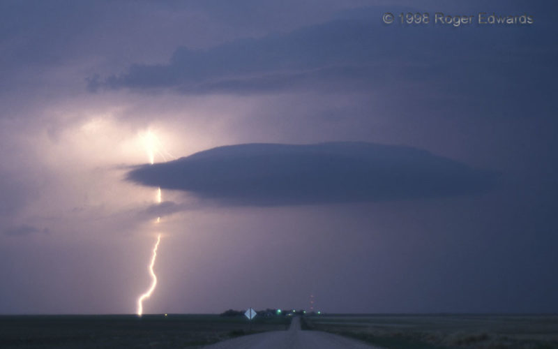
Cumulonimbus Lenticularis (A Cloud-Name Proposal)
In twilight, with a tight aperture and 5–10-second exposures, it is possible to take photos such as this one of a CG stroke behind a lenticular cloud. The origin of the lenticular cloud was not a mountain or standing wave. Instead, it was the detached former base of a dying, high-based supercell—still slowly rotating! Because of its deep-convective origin, I propose a new cloud type: … [Read more...]
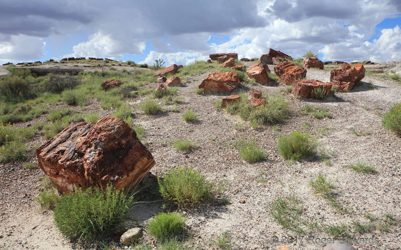
Rainbow Forest under Growing Storms
Buried by floods of mud a quarter billion years ago, exhumed relatively recently by uplift-accelerated erosion, these silica forms mimic the wooden logs they replaced underground, cell by cell. These chunks probably wore out of softer rock ledges as high, or higher than, the log-festooned platform at rear left. Background bases of building convection remind us how these petrified logs came to … [Read more...]
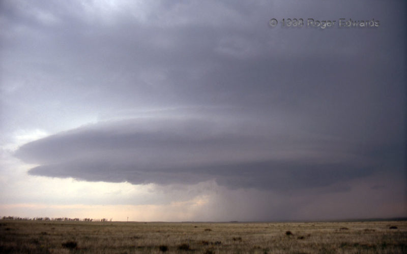
Feast at Joes
[Part 2 of 2] While posing for my slide camera, a classic, Colorado High Plains supercell proceeded eastward, deeper into both the late-afternoon light and a gradually stabilizing boundary layer. The latter, as often happens, led to a smoother, more-striated appearance as the storm's internal low-pressure circulation (mesocyclone) forced that cooler inflow air upward. For just a little while, … [Read more...]
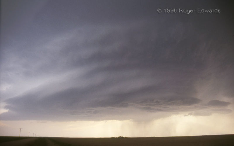
Colorado High Plains Supercell
[Part 1 of 2] The striated, high-based supercell is a Great Plains trademark, and this wonderful specimen from 1998 was one of my early introductions to their captivating splendor. The drier, cleaner air masses on the High Plains keep low- and middle-level obscuring clouds from forming, stripping storms down to their sculpted, skeletal splendor. This was definitely a storm with which I could … [Read more...]
- « Previous Page
- 1
- …
- 151
- 152
- 153
- 154
- 155
- …
- 425
- Next Page »