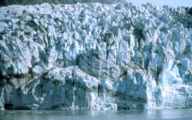
Blue in the sky, blue in the water, blue in the ice—the aura around the face of Lamplugh Glacier this day was nothing but cool hues. The reason is simple: Air, liquid water and ice all absorb shorter red and green wavelengths of light first. [I would be reminded of this bluesy scene 11 years later in Iceland.] Under differential pressure, the surface of the glacier had been crumpled into … [Read more...]
Smith Center Spinup
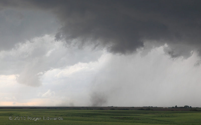
An otherwise undistinguished area of an elongated supercell's cloud base, between precip areas, started to rotate quite noticeably. A weak tornado formed–a dust whirl under the little area of pronounced cloud spin, so feeble at first that it took us a couple of minutes of staring to be sure. Yet there it was, cloud base and dust whirl tightly rotating in sync, with thin dust rising to the base. … [Read more...]
Sunset Cirrus
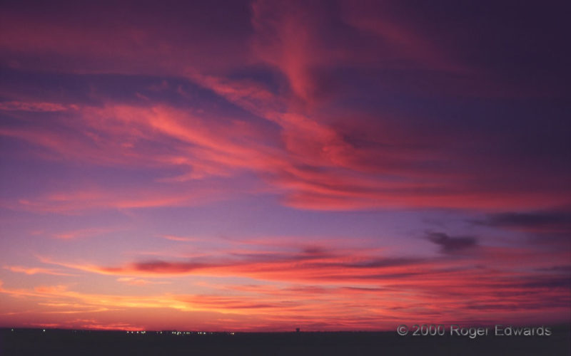
Clean boundary-layer air behind a front in January 2000 allowed the vivid blue-red contrasts in this sunset to stand out sharply. Contrary to popular belief, pollution yields dimmer, blurrier and less colorful sunsets because of light blockage and diffusion by particle components of haze. So the optimal weather for good sunrise and sunset photos is when the boundary layer is at its cleanest. In … [Read more...]
Vessels Contained
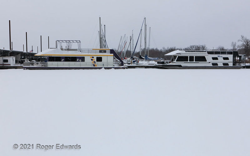
Locked firmly into lake ice that then was covered by snow, these big boats were not about to go anywhere besides their fixed positions at the marina, since neither of them were icebreakers. 2 W Little Axe OK (17 Feb 21) Looking SSW 35.2323, -97.238 … [Read more...]
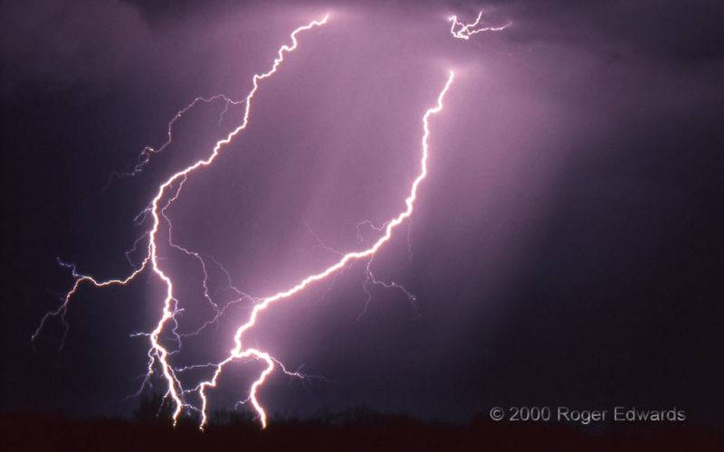
Multiple Branching Strikes
On this night, forked CGs were flying with reckless abandon from one part of a cluster of elevated thunderstorms in southern Oklahoma. This pair had some of the most prolific branching I had seen, with the possible exception of another wild CG tandem a few minutes earlier. The top of the stroke at right even has some upward forks—my only film slide of a CG flash bookended by upward and … [Read more...]
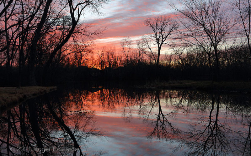
Woodsy Sunrise
Morning after another nasty Southeastern tornado event dawned beautifully in Norman, reflected on one of the small local ponds. Shots past the Sunrise Tree (middle right) work best in winter; between late March and late September, the brightest colors typically are too far north in the morning sky for good compositions here in the warm season. Usually, trees here make a good suit of new leaves … [Read more...]
- « Previous Page
- 1
- …
- 125
- 126
- 127
- 128
- 129
- …
- 413
- Next Page »
