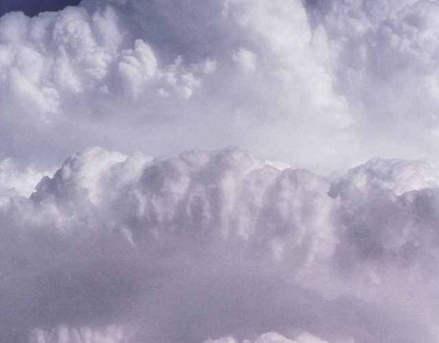
This was part of a very strange storm: a south-southwestward right-moving member of a supercell split, in northwesterly mean flow, with two rear flanks, and splitting for a second time at the time of the photo. It was a fascinating process to witness! A large amount of rusty dust was being entrained in the updraft, thus the reddish tinge in the lower middle. The balcony of convection in the … [Read more...]
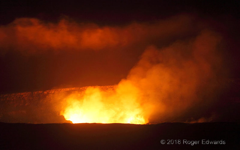
Night Heat
Six nights after one early nocturnal visit to Kilauea's Halemaumau crater, competing for space with other onlookers and photographers, we returned for more, with fewer people. Later, after midnight local time, it was just us and the volcano for short spells, with occasional hissing and gurgling noises evident despite the distance of nearly a mile (made to look shorter by employing a deep zoom). … [Read more...]
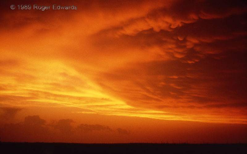
Supercell Set Sky Ablaze
One of the most brilliant and blazing sunsets I had seen, and still have to this day, adorned the northwestern Oklahoma skies this final April of the 1980s. The mammatus-festooned anvil material is actually backsheared (forced back against the prevailing upper level flow) by its parent supercell, unseen to the right. [The same supercell earlier produced a brief funnel and several strongly … [Read more...]
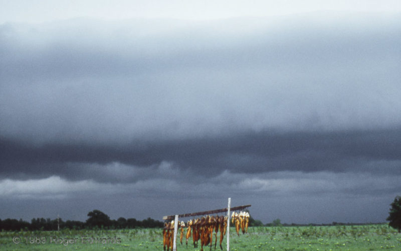
Catfish Arcus
What better foreground for an onrushing arcus cloud than a rack of filleted catfish carcasses? After a long and somewhat strange chase day north and northwest of Oklahoma City, which included windshield damage from hail, we went after a messy supercell well south of Norman, only to have it go very outflow-dominant by the time we got ahead of it here. Needless to say, we left this spot with the … [Read more...]
Rapids on One Cimarron
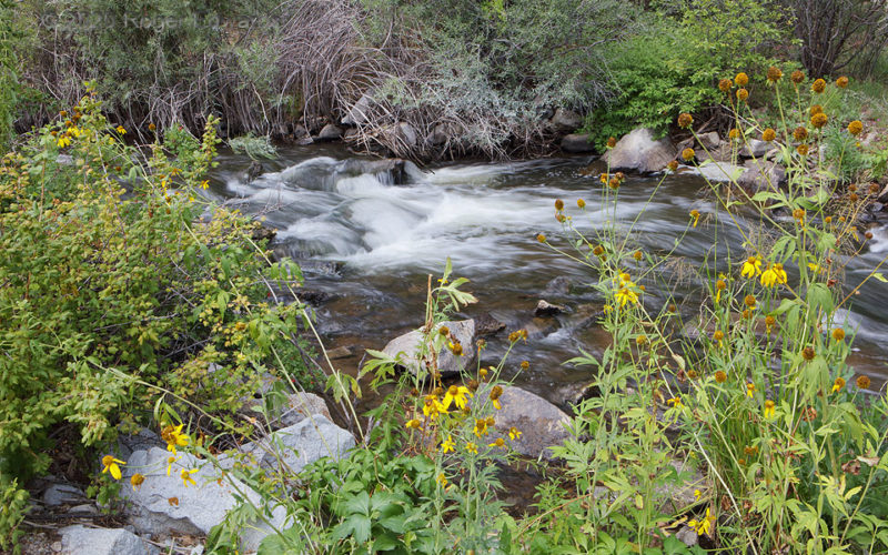
While awaiting expected storm development over the mountains to peel out across the nearby plains, why not head up into the high country for a spell and explore? Doing so here led to a nice little area of wildflower-framed rapids alone one of the Cimarron Rivers in northeastern New Mexico. Why "one of"? Somehow, there are two, both ultimately emptying into the Arkansas River in Oklahoma. This … [Read more...]
Sunset Cirrus Behind Undulatus
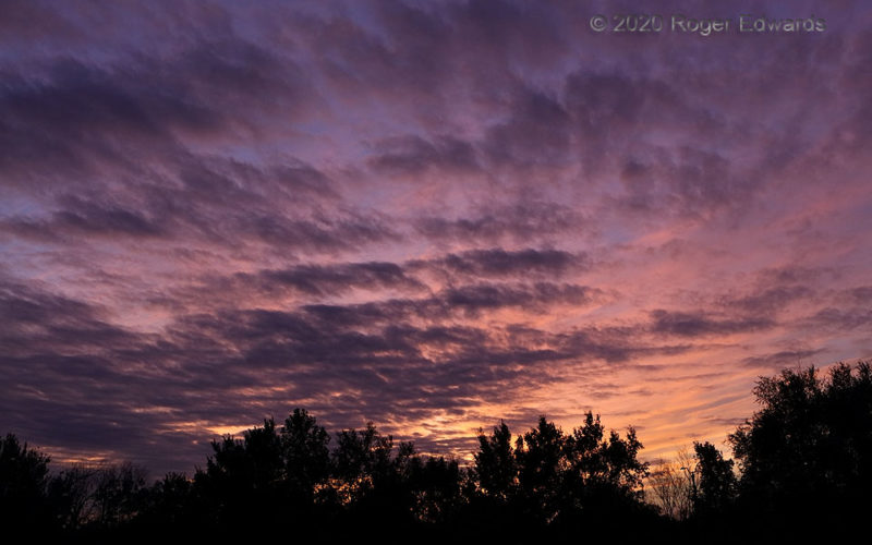
A richly variegated spray of scuddy altocumulus undulatus clouds in midlevels added delightfully rich, silhouetting texture to an autumnal Oklahoma sunset, backed by yellow-orange cirrus. If we must endure drought conditions, at least brilliantly illuminated sky paintings such as this offer some measure of consolation. This was a weird and sad year worldwide, with a pandemic and a host of other … [Read more...]
- « Previous Page
- 1
- …
- 123
- 124
- 125
- 126
- 127
- …
- 386
- Next Page »
