Two different wave trains—the larger one curving from a source near our vessel—crisscross in a beautiful array of rippling patterns, reflecting the blue and white of a broken sky above, abstractly converting fluid-flow equations to liquid art. 9 WNW Gustavus AK (31 Jul 3) Looking NNW 58.4374, -135.9936 … [Read more...]
Over the Minnesota Line
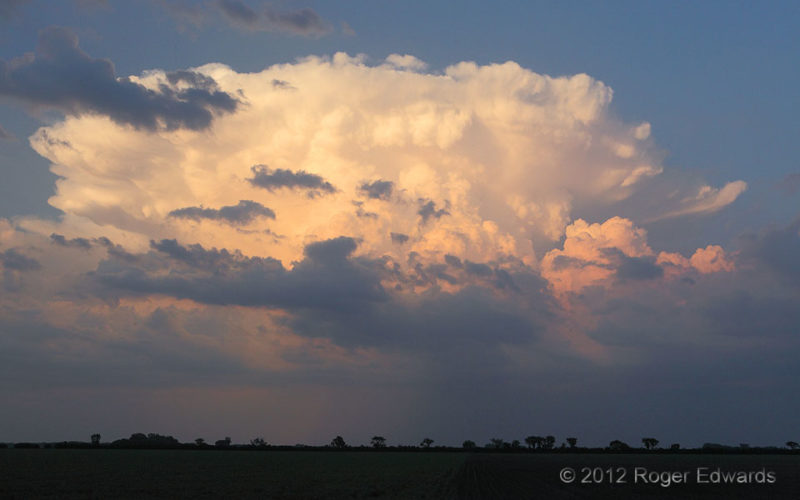
As a big sun descended beyond the northwestern horizon, this was the closest and brightest among weakening storms that glowed brilliantly in its sunset reflection to the east, just over the state line. Two sides of the sky, simultaneously ablaze in warm-toned beauty, made me wish for a wider field of stereoscopic sight in the human capacity, to absorb the fullest grandeur in one sweeping view. 2 … [Read more...]
Supercell on the Range
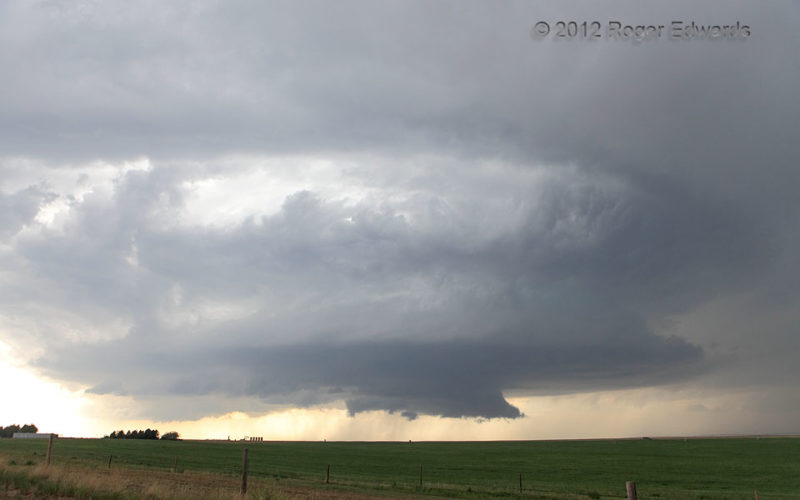
Striking off the Laramie Range foothills and an outflow boundary from an earlier storm, this supercell spun spectacularly across the rolling Wyoming rangeland as it directly approached our vantage. It was but one of many amazing sights gracing the tumultuous springtime sky on that magical day. 17 NNE Cheyenne WY (7 Jun 12) Looking N 41.343, -104.6446 … [Read more...]
Bar Pattern, Little Missouri River
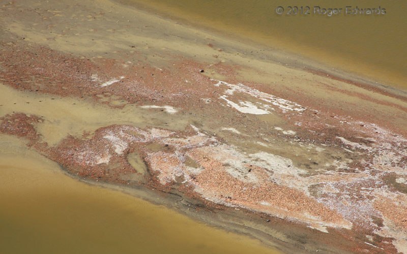
Ever shifting, no constancy at all, the evolving shapes and size of the sand and gravel bars on this Badlands-draining, High Plains river ensure this photo cannot be taken, ever again. Geomorphology is a fluid-flow study, much like meteorology, but on a slower scale. Best of all, meteorology influences it through the precipitation that drains and melts into this system and weaves the bars here … [Read more...]
Tough Day on the Trail
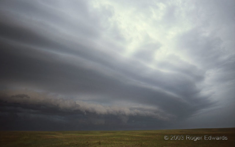
Good thing this was in 2003 and not, say, 150 years earlier! At this location, the Santa Fe Trail crosses U.S. 400 in southwestern Kansas. It was hard enough traversing that pioneer path of promise and pestilence, under threats from hostile natives, more-hostile nonnative robbers, lack of water, rattlesnakes, and of course unexpectedly late or early winter weather, bracketing the withering … [Read more...]
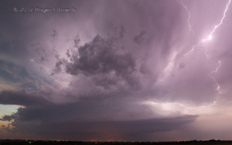
Flickering Twilight Supercell
Sometimes the demise of a long-lived, briefly tornadic supercell around sunset doesn't mean the end of a chase day. We thought it would, having escaped south from the gusty and hail-filled demise of the Loyal/Kingfisher/Piedmont/west OKC storm, which itself dropped hailstones up to 5 inches across. However, a new supercell formed quickly on an intersection between the old supercell's outflow … [Read more...]
- « Previous Page
- 1
- …
- 122
- 123
- 124
- 125
- 126
- …
- 413
- Next Page »

